Download
1 / 13
130 likes | 134 Views
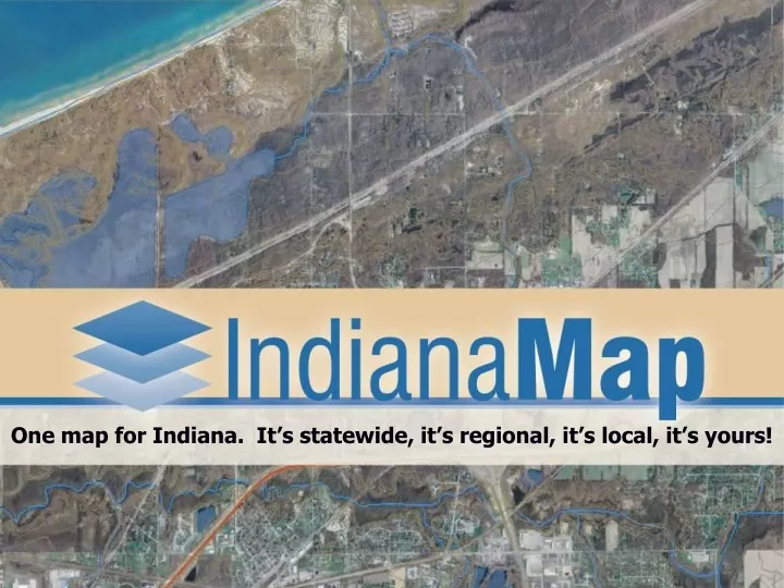
One map for Indiana. It’s statewide, it’s regional, it’s local, it’s yours!. Consistent Accurate Maintained Efficient Local Regional Statewide YOURS!. Because a man with one watch always knows what time it is. A man with two watches is never sure. IndianaMap Vision.

E N D
One map for Indiana. It’s statewide, it’s regional, it’s local, it’s yours!
Consistent Accurate Maintained Efficient Local Regional Statewide YOURS! Because a man with one watch always knows what time it is. A man with two watches is never sure. IndianaMap Vision One Map for Indiana
What do these things have in common? • Property assessment • Emergency response/e911 • Economic development • Voter registration • Taxation • Critical infrastructure/utility management • Sex offender registry • Environmental remediation • Groundwater protection • Transportation planning • Recreation management • Illegal drug enforcement • Invasive species control
The IndianaMap • They all need a common base map: • Orthophotography • Addresses/geocoding • Roads • Parcel/property info • Boundaries • Land elevation/topography They all need a consistent data infrastructure so data are compatible at all levels of government
One Map for Indiana Seamless Accurate Local Consistent Available Multi-purpose What is the IndianaMap? It’s a common base map that will unify information throughout the state BUILD ONCE, USE MANY TIMES
Parcels & Ownership Streets & Addresses PLSS Water Boundaries Elevation Orthophotography Geodetic Control IndianaMap Framework Data BASE MAP Framework data make up the common “base map” Framework data are those needed by the most people,most often,to support the most applications (defined by Indiana Code 4-23-7.3-3)
IndianaMap Framework Data With a seamless, accurate base map the layers will overlay correctly Without a seamless, accurate base map the layers will not overlay correctly
Parcels & Ownership Streets & Addresses PLSS Water Boundaries Elevation Orthophotography Geodetic Control IndianaMap Principle Build Once, Use Many Times Framework Data Your Data / Other Thematic Data Zoning Wetlands Water Lines Landcover Soil Types
How Is It Used? • Flood Insurance Rate Map Modernization (IDNR/FEMA/local communities) • Economic development (IEDC) • Environmental remediation (IDEM, private business) • Transportation planning (INDOT) • Homeland security / public safety (IDHS, counties) • Invasive species control (IDNR – Forestry) • And so much more! IndianaMap is already being used for:
Return on Investment • Saves local tax payers money $$ • Saves State agencies time and money $$ • Increases value of other local and State data by establishing a consistent framework (standardized data fit together) • Empowers government and citizens – new applications • Makes Indiana more competitive • Brings new business opportunities to the state Efficient and Powerful…
IndianaMap Is a Portfolio of Projects Framework Data Planning, Requirements, Acquisition & Management Program Portal for Discovery, Access, Dissemination, & Analysis Education, Outreach & Training
Status • The 2005 Orthophotography and Elevation data were the first completed IndianaMap framework layers • Planning and activitiy is underway for addresses and waters • Proposal underway for on-going maintenance $ • Currently, NO FUNDING is in place for future • Help by contacting your local elected officials and representatives to let them know how you use GIS and that the IndianaMap is important for what you do!