Download
1 / 28
280 likes | 285 Views
This article explores the evolution and applications of Landsat imagery over its 40-year history, highlighting its role in agriculture, forestry, wildlife management, disaster management, economic development, and more.

E N D
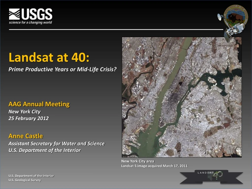
Landsat at 40:Prime Productive Years or Mid-Life Crisis? AAG Annual Meeting New York City 25 February 2012 Anne Castle Assistant Secretary for Water and Science U.S. Department of the Interior U.S. Department of the Interior U.S. Geological Survey New York City area Landsat 5 image acquired March 17, 2011 LANDSAT
Satellite Remote Sensing at DOI • 1966 - Initiated Earth Resources Observation Systems Program • “…the time is now right and urgent to apply space technology towards the solution of many pressing natural resource problems being compounded by population and industrial growth.” • Secretary of the Interior Stewart L. Udall, 1966 Landsat 1-3 Multi-Spectral Scanner (MSS) 79 meter Return Beam Vidicon (RBV) 80/40 meter Landsat 4-5 Multi-Spectral Scanner (MSS) 79 meter Thematic Mapper (TM) 30 meter Landsat 7 Enhanced Thematic Mapper Plus (ETM+) 30/15 meter
DOI Applications of Landsat Imagery Agriculture & Forestry Wildlife & Public Lands Commerce & Industry Regional, State, and Local Government Crop and Timber Inventories and Forecasting Crop, Irrigation, & Forest Management Vegetation, Species, Habitat & Wetlands Inventories & Management Natural Resource, Mineral Wealth, Rangeland Management Mines, Mineral Resources, & Energy Exploration & Management Navigation Land Surveys, Soils & Geologic Mapping Water Resource Administration, Consumptive Use Flooding Prediction & Analysis, Flood Plain Assessment Erosion Control
DOI Applications of Landsat Imagery Disaster Management -- Hazard Analysis -- Mitigation & Planning -- Damage Assessment -- Recovery & Relief Intl. Economic Development National Security Homeland Security Global Change Policy & Research Hurricanes & Severe Storms Floods & Landslides Wildfires & Forest Fires Earthquakes & Volcanoes Global Coastal Mapping & Monitoring, Emergency Response, Theater Mapping, Illicit Crop Detection Deforestation, Desertification, Sea Water Intrusion Snow cover & Glaciation Ecosystem Analysis, Urban and Rural Geography
Landsat comprehensively portrays crop status Released Jan. 10, 2011 National 30m Product
Harvard’s Ash Institute’s Innovations in American Government Award - 2009 Idaho Department of Water Resources and University of Idaho“Mapping Evapotranspiration from Satellites” “METRIC….is measurably more accurate, fast, and cost-effective than the traditional, cumbersome, slow and expensive methods that were commonly used in the last century.” “…it would be practically impossible to adjudicate water rights disputes in the future without [TIRS].”
The Landsat Revolution In October 2008, the USGS made the entire Landsat archive, over 3 million images, available via the Internet at no cost. The opening of the Landsat archive reshaped the future of moderate resolution Earth observations.
Landsat Data: 40 Years of Global Data Free Online Total Landsat Scenes Provided to Users Since January 1, 2008 Freedatapolicy Scenes FY 2009 FY 2008 13
Innovative Benefits of Open Availability • Studies indicate societal value exceeds data acquisition and distribution costs • Encourages development of research applications leading to innovative commercial endeavors • "The opening of the Landsat archive to free, web-based access is like giving a library card for the world's best library of Earth conditions to everyone in the world." • Adam Gerrand, Food and Agriculture Organization of the United Nations 14
Economic Advantages of Open Availability • Commercial data use has increased under free distribution policy • Google Earth/TerraMetrics • ESRI "Change Matters" product. • Economic cost savings for environmental management • Landsatimagery data gap loss would be $935M per year • Water managers will save an estimated $1 billion over the next decade May July Progression of Evapotranspiration overtime – Nebraska, Landsat 5 1997 September 15
Why are Earth observations important for civil society? Continuous Earth imaging from space ensures that events are registered and cannot be concealed, even if the traces of the event have been removed on-site (for example, oil spills). O. Gershenzon, RussiaTransparent World Partnership, 2011. Landsat is akin to the Earth’s free press. With its global perspective, we have objective and indisputable evidence of the condition of the planet. Curtis Woodcock, Boston University, 2011.
The Vanishing Snows of Kilimanjaro 1976 2000
Dallas-Fort Worth, Texas 1989 2002 1974 The combined Dallas-Fort Worth metroplexhas grown rapidly:2,378,000 in 1970,3,776,000 in 1988, 5,568,150 in 2002,6,371,773 in 2010.
Chernobyl - Ukraine 1975 1986 2011
Gulf Oil Spill Landsat 7 – May 1, 2010
New York City - 9/11/2001 Landsat 712 Sept. 2001
Four Decades of Earth Imaging: Current Status • Landsat 5 • Launched by NASA in 1984 (3-year design life) • Operated by USGS since 2001 • November 2011: USGS suspended imaging temporarily to investigate electronic problem • Landsat 7 • Launched by NASA in 1999 (5-year design life) • Operated by USGS since 2000 • Acquiring over 350 images/day worldwide • Estimated end of mission, based on fuel supply only:January 2017 24
Four Decades of Earth Imaging: A Turning Point • Landsat 8 (Landsat Data Continuity Mission, LDCM) • Five year design life, with 10 years of fuel • Two instruments • Operational Land Imager (OLI) - 9 spectral bands • Thermal Infrared Sensor (TIRS) – 2 thermal bands • All data will be freely available over the Internet • Projected launch date: January 2013 • Landsat 9 and beyond • Administration supports converting Landsat to an operational program • USGS is working with NASA and the White House Office of Science and Technology Policy to assess options for Landsat 9 and beyond 25
Operational Land Imager, Ball Aerospace & Technologies Corporation Landsat 8 Spacecraft, Orbital Sciences Corporation Thermal Infrared Sensor, NASA GSFC
“For man must rise above this Earth - to the top of the atmosphere and beyond – for only thus will he fully understand the world in which he lives.” Socrates, ~400 B.C.