Download
1 / 30
320 likes | 534 Views
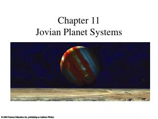
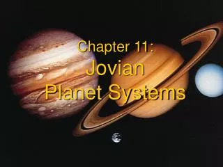
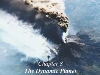
Chapter 11 The Dynamic Planet. The seemingly static landscape and mountains are constantly being shaped and reshaped by endogenic and exogenic forces, although slowly. Given enough time, any slow process can make a difference. . The Dynamic Planet. The Pace of Change

E N D
The seemingly static landscape and mountains are constantly being shaped and reshaped by endogenic and exogenic forces, although slowly. Given enough time, any slow process can make a difference.
The Dynamic Planet • The Pace of Change • Earth’s Structure and Internal Energy • The Geologic Cycle • Plate Tectonics
The Pace of Change • Geologic time scale Popular time: 1500 BC, 2009AD Years Before Present (BP): • Uniformitarianism: An assumption that the same physical processes active in the environment today have been operating throughout geologic time.
Geologic Time Scale Earth age: 4.6 billion years condensed and congealed from a nebula of dust, gas and icy comets. Scales of Geologic Time Eons: Eras: Periods: Epochs: Zoic: life Protero-: former, anterior Phanero-: visible to the naked eye flowering plants Paleo-: old Meso-: middle Ceno-: recent Figure 11.1
Earth’ Time Clock: Radioactivity Atom: nucleus: protons (+) & neutrons electrons (-) For some matter, its protons and neutrons do not stay together indefinitely. The particles can break away and the nucleus can disintegrate and form new matter, in the mean time release radioactive energy. The decay rate is measured by half time, the time needed for the matter to decay half of its mass into new matter. Measuring the ratio of original matter and its decayed matter, one can estimate the age of the object. The oldest rock dated: 4.3 b.y.a, indicating continental crust was forming this many years ago.
Earth’s Structure and Internal Energy • Earth’s Core : Inner Core Outer Core • Earth’s Mantle: Lower Mantle Upper Mantle Asthenosphere Uppermost Mantle • Crust: Continental and Oceanic Crust.
Earth in Cross Section Figure 11.2
Earth’s Interior Figure 11.2
Earth’s Interior Mantle includes lower and upper (upper mantle, asthenosphere and uppermost mantle) mantle, representing 80% of Earth volume. Temp increase with depth. Rich in oxides of iron, magnesium and silicates. Note the density gradient As Earth solidified, gravity sorted materials by density. Heavier substances (e.g. iron) gravitated toward the center; lighter elements (e.g. silica) welled upward to the surface. Outer core generate 90% of Earth magnetic field to form magnetosphere, which protects Earth from the solar wind and cosmic radiation. Inner core remains solid iron because of tremendous pressure though temp well above melting point, Figure 11.2
Earth’s Interior Continental crust: primarily granite high in silica, aluminum, potassium, calcium and sodium Oceanic crust: primarily basalt high in silica, magnesium and iron Lithosphere: Crust + uppermost mantle. Asthenosphere: plastic layer (least rigid in mantle), contains hot spots causing vertical convection, creates tectonic activity Figure 11.2
Core to Crust Figure 11.3
How Scientists Know the Deep Structure? Scientists cannot dig that deep. The deepest hole scientists ever dug is 12.23km (20 years of effort!) Scientists infer the deep Earth structure indirectly through seismic tomography. The rate of transmittance of seismic waves depends on the density of the structural material. Rigid matter transmits the seismic waves faster. Plastic zones simply do not transmit certain seismic waves. Some seismic waves are reflected when density changes, whereas others are refracted (or bent) as they travel through Earth.
Earth’s Magnetism • At least 90% of Earth’s Magnetism is generated by fluid outer core. • Magnetic North is at 83o N, 114oW in 2005. Magnetic north pole migrates. It moved 1100 km in the past century. • Magnetic reversal: Magnetic polarity sometimes fades to zero and returns to full strength with magnetic poles reversed. It happened 9 times in the past 4 million years. The transition period between reversal is relatively short (1,000 ~10,000 years) • Current records indicates that magnetic fields decay over the last 150 years. We may be within 1000 years of magnetic reversal.
Isostatic Adjustment Continental crust is lightest, “floating” on denser layers. When there is heavier loads, such as mountains, glaciers, , the crust “sink” deeper (like a boat loaded with cargo). Unloading these cargos will results in isostatic rebound as shown here. GPS can be used to study the rate of isostatic rebound. A group of scientists from UAF found that southern Alaska is rebounding much faster than they thought because of melting of glaciers Figure 11.4
The Geologic Cycle • Rock Cycle • Minerals and Rocks • Igneous Processes • Sedimentary Processes • Metamorphic Processes
The Geologic Cycle The cycle of matter within the Earth system caused by exogenic and endogenic forces. Hydrologic Cycle Rock Cycle Tectonic Cycle Figure 11.5
The Geologic Cycle Figure 11.5
Eight natural elements make up 99% of Earth’s crust! Oxygen and Silicon make up 74.3%. There are more Oxygen in the crust (47%) than in the atmosphere (21%) !
The Rock Cycle Figure 11.6
Plate Tectonics • A Brief History • Sea-Floor Spreading and Production of New Crust • Subduction of the Crust • The Formation and Breakup of Pangaea • Plate Boundaries • Earthquake and Volcanic Activity • Hot Spots
A Brief History of Plate Tectonics First person to notice the apparent fit of some continental coastlines was a Geographer (Abraham Ortelius) in 1500s. The “continental drift” concept was formally introduced by a German geophysicist, Alfred Wegener in 1915. The Earth had a single giant continent, Pangean 225 MBP, then drifted apart as we have today. Wegener’s continental drift concept was confirmed in the 1960s.
Crustal Movements: Sea Floor Spreading A remarkable feature of the sea floor: An interconnected worldwide mountain chain, forming a ridge ~64,000 km in length and ~1,000 km in width. Figure 11.13
Magnetic Reversals Evidence of sea floor spreading: 1. The magnetic particles orient themselves in line with the magnetic fields when the lava appeared and its orientation is frozen in the rocks. 2. Radioactive dating: the farther away from the ridge, the older the age of the rocks. Figure 11.14
Relative Age of the Oceanic Crust The oldest sea floor rock is 208 MBP (quite young compared to 4.6 Billion years of Earth). Figure 11.15
Continents Adrift Three kinds of plate boundaries: 7 major plates: Figure 11.16
Earth’s Major Plates Arrows represent 20 million years of movement. Figure 11.17
Earthquakes and Volcanoes : upwelling material arrive at the surface Plate boundaries are the primary location of earthquake and volcanic activity Figure 11.20
Hot Spot Tracks Another hot spot: Yellow Stone National Park: a mega-magma chamber beneath which explodes 620,000 years. It can explode in the next 20,000 years. It is so big its ashes can cover half the country. Figure 11.21
End of Chapter 11 Geosystems 7e An Introduction to Physical Geography