Download
1 / 1
10 likes | 95 Views
The Global Land Cover Facility: Innovations in Data Access and Retrieval John Townshend *^ , Joseph JaJa * ° , Francis Lindsay * , Benjamin White * University of Maryland, Institute for Advanced Computer Studies* University of Maryland, Department of Geography^

E N D
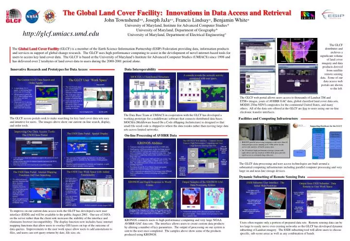
The Global Land Cover Facility: Innovations in Data Access and Retrieval John Townshend*^, Joseph JaJa*°, Francis Lindsay*, Benjamin White* University of Maryland, Institute for Advanced Computer Studies* University of Maryland, Department of Geography^ University of Maryland, Department of Electrical Engineering° http://glcf.umiacs.umd.edu The GLCF distributes and archives a significant volume of land cover imagery and data products derived from satellite remote sensing data. Some of our data access web portals are shown to the left. The Global Land Cover Facility(GLCF) is a member of the Earth Science Information Partnership (ESIP) Federation providing data, information products and services in support of global change research. The GLCF uses high performance computing to assist in the development of novel internet-based tools for users to access key land cover data. The GLCF is based at the University of Maryland’s Institute for Advanced Computer Studies (UMIACS) since 1998 and has delivered over 2 terabytes of land cover data to users during the 2000-2001 period alone. Innovative Research and Prototypes for Data Access Data Interoperability The GLCF web portal allows users access to thousands of Landsat TM and ETM+ images, years of AVHRR GAC data, global classified land cover data sets, MODIS 250m NDVI composites for the continental United States, and many others. All of the data sets offered at the GLCF are free to users using our on-line electronic transfer interfaces. The Data Base Team at UMIACS in cooperation with the GLCF has developed a working prototype for a middleware software that connects distributed data bases. MOCHA (Middleware based On a Code sHipping Architecture) is designed so that small file sized code is shipped to where the data resides rather than moving large data sets across limited networks. The GLCF access portals seek to make searching for key land cover data sets easy and intuitive for users. The images above show our current on-line search, display, and order tools. Facilities and Computing Infrastructure On-line Processing of AVHRR Data • IBM SP2 parallel processing computers with more than 40 dedicated processors running at 6.3 GHz allow for the server-side analysis of Earth science data. • An 18 terabyte high performance storage system with eight drives and one terabyte of SSA disk space provide rapid access to extremely large data sets. The GLCF data processing and user access technologies are built around a substantial computing infrastructure including parallel computer processing and very large on and near-line storage devices. Dynamic Subsetting of Remote Sensing Data To improve on our current data access tools the GLCF has developed a new user interface (ESDI) and will be available to the public August 2001. Our use of JAVA on the server rather than the client side increases the stability of the interface and eliminates browser incompatibility. The display function now includes basic internet mapping functions that allow users to overlay GIS layers on top of the outcome of data queries. Improvements to the user work space allow users to add annotations to files, and users can sort query returns by date, file size, etc. KRONOS connects users to high performance computing and very large NOAA AVHRR GAC data sets. The interface allows users to create custom data products by altering a number of key parameters. The output of processing on our system is sent to the user once completed. The samples above show some of the products produced using KRONOS. Users often require only a portion of prepared data sets. Remote sensing data can be too large to easily move over existing networks so the GLCF has developed dynamic subsetting of Landsat imagery. The ESDI subsetting tool will allow users to choose specific, sub-scene areas as well as any combination of bands.