Download
1 / 14
140 likes | 556 Views
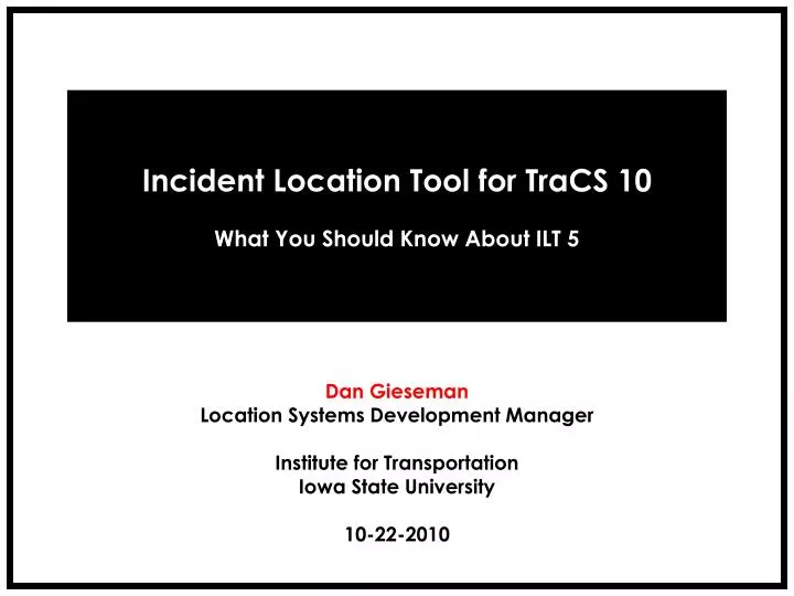
Incident Location Tool for TraCS 10 What You Should Know About ILT 5. Dan Gieseman Location Systems Development Manager Institute for Transportation Iowa State University 10-22-2010. ILT 5 Current Release Notes. 01. ILT 5 is deployed exclusively with TraCS 10.

E N D
Incident Location Tool for TraCS 10 What You Should Know About ILT 5 Dan Gieseman Location Systems Development Manager Institute for Transportation Iowa State University 10-22-2010
ILT 5 Current Release Notes 01 ILT 5 is deployed exclusively with TraCS 10. Supports Point and Click mapping of incidents in TraCS. ILT 5 has progressed from Beta Release to Production stability. Current version number is 5.0.4.2. TraCS 10 requires ILT location on some forms. Currently deployed as part of a limited TraCS 10 rollout. Coming Soon to an agency near you!
ILT Functionality Overview 02 • Users of ILT 5 locate using the ILT “Puck”. • Be familiar with these common ILT Functions: • Location • Snapping • Measuring • Labeling • GPS Guidance • Auto-Panning • Inset Map • Map Control Buttons - Zoom In/Out, Full View, etc • Finders are being added • Currently there is a GPS Map Location Finder.
Snap On/Off GPS On/Off Measure On/Off Label On/Off Manual Locate Reticule Measure Distance Location Description Locate Incident Button Anatomy of the Locator Puck Grip Point NAV NAV SNAP SNAP MEAS LABEL MEAS LABEL 352 FT US 0069/GRAND AVE and 24TH ST 03
Incident Location Tool: User Interface Map Control Buttons The Locator “Puck” 04
A Closer Look: ILT Basic Functions 05 http://www.lvpcchurch.org/lvpc/files/u1/magnifying-glass.gif
This Distance is called Snap Tolerance. User positions puck here. Snapping records Incident here. In-Depth: Snapping Illustrated A Roadway Network • Snap Tolerance (old way): Preset Fixed Distance. • Snap Tolerance (new way): Dynamic based on Map Extent. 06
What Exactly is Dynamic Snap Tolerance? Snap Tolerance is Whatever this Distance is on the current Map Extent. 07
More on ILT GPS Guidance 08 • User can move Puck OR GPS can guide the Puck! • ILT 5 Auto-Detects GPS Feed on any Serial Port. • Technically Speaking: • Any Real or Virtual COM Port • NMEA Sentences at 4800 8, N, 1 • Be Aware: GPS is Subject to Atmospheric Interference. • Be Aware: GPS does NOT fit roadway maps perfectly. • However: GPS alongside Snapping yields high Location Accuracy!
A Closer Look: ILT GPS Guidance 09 http://www.lvpcchurch.org/lvpc/files/u1/magnifying-glass.gif
Attention Admins: ILT 5 Can Receive Web Updates! 10 Sub-System is called ILT Version Update Server Maintains system code AND mapping via Web Updates. Constant network connectivity is NOT required. ILT software and maps are Version Fingerprinted (Build IDs). Update files are packaged and compressed for transfer. Offline Mode is supported (e.g. via USB or CD). Control is tunneled in HTTP and Data transfer uses FTP.
A Closer Look: ILT Version Update Server 12 http://www.lvpcchurch.org/lvpc/files/u1/magnifying-glass.gif
THANK YOU! Dan Gieseman dgiesema@iastate.edu 515.296.0796 13