Download
1 / 5
50 likes | 135 Views
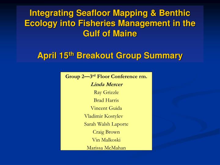
Integrating Seafloor Mapping & Benthic Ecology into Fisheries Management in the Gulf of Maine April 15 th Breakout Group Summary. Group 2—3 rd Floor Conference rm. Linda Mercer Ray Grizzle Brad Harris Vincent Guida Vladimir Kostylev Sarah Walsh Laporte Craig Brown Vin Malkoski

E N D
Integrating Seafloor Mapping & Benthic Ecology into Fisheries Management in the Gulf of MaineApril 15th Breakout Group Summary Group 2—3rd Floor Conference rm. Linda Mercer Ray Grizzle Brad Harris Vincent Guida Vladimir Kostylev Sarah Walsh Laporte Craig Brown Vin Malkoski Marissa McMahan
Summary of fisheries management needs for seafloor geophsyical & habitat information Top Priorities: Refine EFH Understand relationships between habitat & population dynamics Evaluate closures Evaluate gear impacts Uncertainty maps
What seafloor data related to this need is currently available and how is it being used in GOM Fisheries Management? • Limited multibeam, fish distribution and benthic data • Broadly define habitat closures and EFH
What needs remain entirely unmet? In what ways are available data/products inadequate? Biological link – species habitat relationships/ why is a cod where it is – what is it doing Data that will support causal inferences Multibeam mapping of the continental shelf Water flow/shear stress/oceanographic modeling needs to be connected Benthic ecology Nested strategy Habitat vulnerability by gear type
What limits the use of this data in fisheries management currently? • Lack of understanding of the relationship between habitat and fish distribution and productivity • Ecological benefits of habitat closures are not understood