Download
1 / 29
290 likes | 301 Views
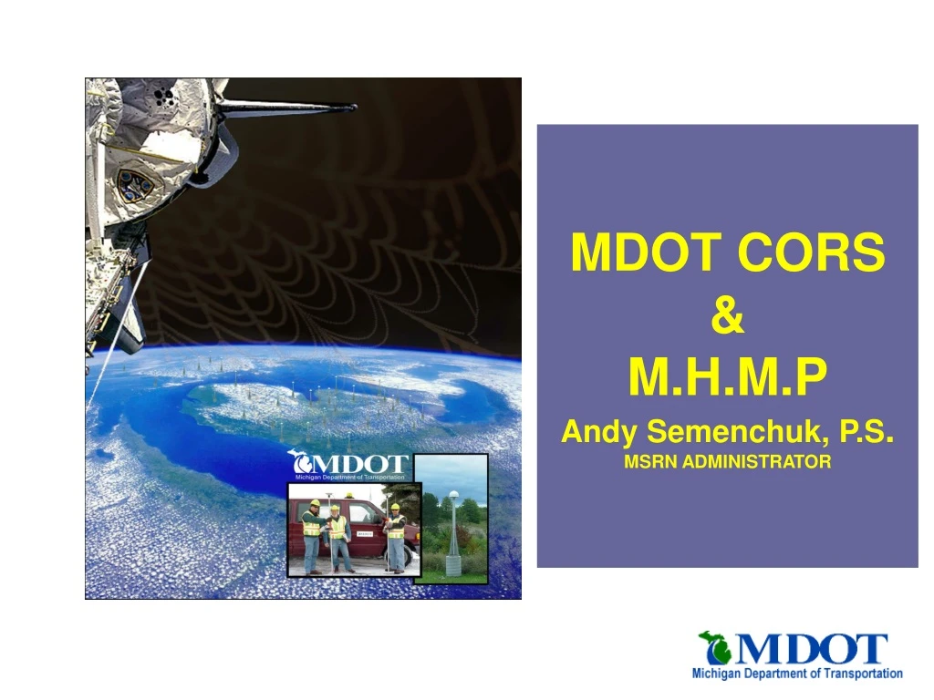
MDOT CORS & M.H.M.P Andy Semenchuk, P.S . MSRN ADMINISTRATOR. A review of definitions. CORS. : continuously operating reference station What is it? A permanently mounted GPS receiver. : High Accuracy Reference Network

E N D
A review of definitions CORS • : continuously operating reference station • What is it? A permanently mounted GPS receiver. • : High Accuracy Reference Network • : Michigan Height Modernization Project • : Federal Base Network • : Cooperative Base network HARN MHMP FBN CBN
What is a Reference/ Base Station Defined by “Webster” • ref •er • ence, n.,- 1. referred or consulted as a centering point • base, n.,- 1. the fundamental part or foundation • sta •tion, n.,- 1. a place or position where something is to remain 2. a place equipped for some particular kind of work, service, or broadcasting
MDOT CORS • First step in a in creating a Homogeneous 3D geodetic network in the state. • First CORS installed in Jackson, Michigan on September 2000. • CORS system was originally installed by MDOT for our own use. • Today it has become similar to a public road. • Available to everyone at no cost!!!
MDOT CORS BACKGROUND • Department had been using GPS for static and rapid static control work since 1991. • MDOT used to have 38 crews state wide with each crew containing 8 people. • Today there are 8 crews statewide with no more than 2 to 3 person/crewThe Road budget has quadrupled in the same time frame. • We had to get the work out.
Behind the Eight Ball • The Survey and Photogrammetry Units were understaffed and ill prepared for the magnitude of requests we receive. • We did not possess the staff nor technology to complete the work. • The end result was the inability to deliver our product to our customer in a timely manner.
The Earl of Cone Search For Solutions • We needed to develop solutions for the situation. • Our goal: To produce accurate survey and photogrammetry data quicker and more efficiently. • We looked at several areas of our process: • survey request timing • Consultant contact scoping improvements • Application of new technology to improve the actual process of surveying.
CORS BECAME A REALITY • We investigated different methods to get the work out and realized that we were spending lots of hours bringing control to a project. • We decided to implement a reference network across the state that would assist us in the control process. • The next step was to “Sell” the idea to the management at MDOT.
Management’s Concerns • Management was rightly concerned with the following: • Is this technology proven? • What will be the overall costs? • What will be the costs savings to the department? • How long before we recoup our initial investment? • After satisfying managements concerns, they gave us the go ahead.
The Michigan Spatial Reference Network (56) Fifty six GPS receivers 6 more waiting for spring thaw. Located at various MDOT and county faciltites. RTK (RTCM) Available VIA WEB All controlled by SpiderNET software. Lets open the door and see a bit more about this network Jackson “UNIV” Station
Building the Monuments • We researched and consulted with Structural and mechanical engineers to try and build stable monuments for the conditions we encounter in Michigan. • We decided and a 2 part mount. • The base consisting of a reinforced concrete monument 24” in diameter by 12 feet below grade. • And the mast which is know commonly known as an “Earlconic”.
Cable Trench Looking in the monument hole. Waiting for the concrete. SITE PHOTOS
Site Selection. • The first 12 sites we had planned were selected on the following criteria. • Must be on MDOT property • Must have had an existing dedicated LAN connection. • Must have met visibility requirements and suitable soils for stability.
Completion of Initial stations • The initial stations were installed in a 3 month period. • During this 3 month period we decided to implement a user interface to access the data. • www.mdotcors.org was born. • In its 5 years of existence we have had over 30,000 downloads for the data. • This does not include the people who get the MSRN data directly from NGS.
Positioning the CORS • We then decided to position the CORS relative to the HARN. • We mobilized the MDOT survey forces and discovered that we needed help. • We asked for volunteers and the response was overwhelming: • Dept. of Natural Resources • Private sector stepped up to the plate • Ferris State University Students
Positioning CORS • We had originally planned 2 5.5 hour sessions to position the CORS. • After discussing with NGS we revised the sessions to create a 3rd 5.5 hour session. • This observation also served as the re-observation of the HARN.
PRIVATE SECTOR Local Gov. Agencies other State Agencies ` Cooperation success
Phase Description IN PROGRESS • Phase I (Real-Time Data Acquisition and Integrity Monitoring) • Deploy network of Static Stations • Operational Testing • Public Access (User training/ Workshops/Seminars • MDOT Expansion • County Expansion • City Expansion • Emergency/ Utilitarian expansion • Phase II (Real-Time Broadcasting) • In Planning • Real-time PCS • Policy for City/ County additions to network • Phase III • The future IN PROGRESS HEIGHT MODERNIZATION
Why Height Modernization? • We already have the 2D dimensional component (MSRN) in place why not add the height component and have a 3D geodetic control network in the state? • Other Benefits • Land Surveying • Land Use Planning • Property Descriptions • Great Lakes monitoring • Floodplain Mapping • Environmental Applications • Precision Agriculture • Precision GIS base mapping • Navigation
MHMP • Goals • Eliminate inconsistencies in the vertical network • Result will be a homogeneous vertical network • Replace and supplement control in High growth areas where control has been destroyed. • Statewide 3D Control Network. • Further enhance RTK.
Phase Description • Phase 1 • Define a pilot area • Secure funding through state funds and Federal highway research funds. • Complete pilot project area using consultant forces. • 2 PHASES (2 separate contracts) • Monument Placement • 2nd order class 1 Leveling and GPS • Report Results. • Phase 2 • Secure Congressional funding. • Can be officially called “height modernization” • Ongoing until state is completed (long term) • 10 year window for completion.
What is involved with Monument placement • Monuments • Poured concrete 16” Diameter by 8’ in depth • Monument will be re-enforced with 4 pieces of fiberglass re-bar. • Monuments will be located Approximately 1.8km to 2 km apart along the designated route. • Monuments will be located as much as possible in areas that will give the longest monument life. • 95% of monuments should be located in areas suitable for GPS purposes. • Obstructions shall be kept to a minimum • Foresight to future usage shall also be kept in mind.
2nd Order Class 1 leveling • All 2nd order class 1 specs must be followed. • Collimation performed daily • 60 meter maximum backsight • Backsights and foresight must be balanced. • Double observe each section under different circumstances. • Use turning pins (turtles) and Rod supports. • The use of ATV’s are recommended where permitted to increase productivity.
Where are we today? • Contract for monument placement will be released in the upcoming month. • Consists of placement of monuments in Macomb, Wayne, St. Clair, and possibly Oakland Counties. • Low bid/QBS contract • Total number will be dependent on BID amount for monuments and on the number of recoveries of existing control. • 50% success rate in recoveries. • Scope for leveling and GPS needs to be created. • Contract will be issued in the spring • can not commence till monument placement is complete. • IDS pre-qualified contract • Pilot Must be completed by 9/1/06
PARTNERS? • We need partners at local level to achieve the same level of success as with the MSRN. • Partnering does NOT mean $ commitment. • Different forms of Partners • Time • Resources • Talent • Education • Preservation • If Stakeholders participate in the process it will almost ensure a successful program.