Download
1 / 15
150 likes | 285 Views
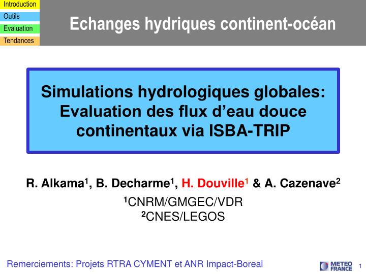
Echanges hydriques continent-océan. Simulations hydrologiques globales: Evaluation des flux d’eau douce continentaux via ISBA-TRIP. R. Alkama 1 , B. Decharme 1 , H. Douville 1 & A. Cazenave 2 1 CNRM/GMGEC/VDR 2 CNES/LEGOS. Remerciements: Projets RTRA CYMENT et ANR Impact-Boreal.

E N D
Echanges hydriques continent-océan Simulations hydrologiques globales: Evaluation des flux d’eau douce continentaux via ISBA-TRIP R. Alkama1, B. Decharme1, H. Douville1& A. Cazenave2 1CNRM/GMGEC/VDR 2CNES/LEGOS Remerciements: Projets RTRA CYMENT et ANR Impact-Boreal
From Oki and Kanae, 2006 Le cycle hydrologique global (fin du 20ème siècle)
Sea level change (1800-2100) simulations mm/yr² GIEC, 2007 Changement climatique et « runoff » continental Precip & runoff trends (1960-1994) Gedney et al. 2006
TRIP 1° by 1° river network La modélisation hydrologique ISBA-TRIP: principe Inflow Outflow
ISBA-SGH Precipitation Entekhabi and Eagleson 1989 Vegetation and soil properties Koster et al. 1992 Topography Beven and Kirby 1979 Le modèle de surface ISBA: améliorations récentesDecharme and Douville 2006
t(Qm(t)-Qo(t))² Eff = 1- t(Qo(t)-Qo)² Validation off-line sur le bassin du Rhône (débits)Decharme and Douville 2006 Perfect model Cumulative efficiency distribution of daily river discharges at 1° versus 8km over the Rhône (88 stations) standard ISBA model versus ISBA-SGH
Hybrid atmospheric forcing ISLSCP or Princeton Univ. 3-hourly, 1° Soil and vegetation parameters ISLSCP or ECOCLIMAP Fixed or monthly, 1° or 1km Soil moisture & snow climatology Runoff Evaporation TRIP ARPEGE-Climat space observations Discharge in situ observations T2m et P Validation off-line globale ISBA
Evaluation vs débits in situ (GSWP2, 1985-1996)Decharme and Douville 2007 ISBA-SGH Cumulative efficiency distribution of monthly river discharges at 80 worldwide gauging stations (runoff routed with TRIP for all LSMs)
Evaluation vs mission GRACE (2002-2006)Alkama et al. 2010a Terrestrial Water Storage = soil moisture + snow + rivers Winter Spring Summer Autumn
Comparaison vs altimétrie (1993-2003)Llovel et al. 2010 Interannual variability of the altimetry-based global mean sea level (red curve) and terrestrial water storage (expressed in equivalent sea level) –TWS-ESL from the ISBA-TRIP model (green curve) over 1993-2003. (a) global mean sea level (gmsl) from Ablain et al. (2009); (b) global mean sea level from Beckley et al. (2010). The time series are detrended and the seasonal cycle is removed.
Tendances sur les débits (1960-1995)Alkama et al. 2010b Aire de drainage retenue par Dai et al. 2009 32 % des surfaces continentales Aire de drainage retenue par Labat et al. 2004 20 % des surfaces continentales 100% des surfaces continentales
Tendances sur les débits (1960-1995)Alkama et al. 2010b Observations ISBA-TRIP Modèle - Obs
Conclusions et perspectives • La qualité des débits simulés dépend avant tout du forçage en précipitations • En mode « off-line » sur la période 1950-2006, le modèle hydrologique ISBA-TRIP se compare relativement bien (cycle annuel, variabilité interannuelle, tendance) aux données in situ (débits) et satellitaires (gravimétrie pour la variation totale de stock, visible pour la couverture neigeuse) • En mode « on-line », il a globalement un effet positif sur la climatologie du modèle ARPEGE relativement à la version antérieure du schéma ISBA (non externalisée et sans variabilité sous-maille), malgré le renforcement du biais chaud estival aux moyennes latitudes de l’Hémisphère Nord • De nouveaux développements sont en cours (représentation des zones inondées, des aquifères, du pergélisol, etc…) • Faisabilité / intérêt de simulations globales « off-line » en temps « quasi-réel », notamment pour initialiser la prévision saisonnière (flux d’eau douce vers l’océan, mais aussi manteau neigeux et humidité des sols) ??? • Assimilation de données in situ (e.g. débits) et/ou satellitaires (e.g. SMOS) ???