Download
1 / 22
230 likes | 355 Views
ICESat Standard Data Products. David Hancock /Code 972 NASA GSFC John DiMarzio/ Code 971 Raytheon ITSS. ICESat Mission.

E N D
ICESat Standard Data Products David Hancock /Code 972 NASA GSFC John DiMarzio/ Code 971 Raytheon ITSS EOS Snow and Ice Workshop- ICESat Data Products
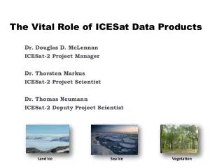
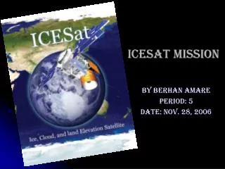
ICESat Mission The main objective of the Ice, Cloud, and land Elevation Satellite (ICESat) mission is to provide accurate, high resolution data that will contribute to our understanding of ice-sheet mass balance investigations in the polar regions. The Geoscience Laser Altimetry System (GLAS) is the sole instrument flying on the Ice, Cloud, and land Elevation Satellite (ICESat).
ICESat Standard Data Products • Seven Altimetry Products • GLA01, GLA05-06, GLA12-15 • Six Atmosphere Products • GLA02, GLA07-11 • Two Engineering Products • GLA03-04 • Product Spans are ¼, 2, and 14 Orbits
Primarily instrument corrected parameters to compute range and energies Range parameters nanoseconds relative to digitized waveform Waveforms ( 2 types – long 540 and short 200) Energy parameters GLA01 L1A Global Altimetry
GLA05 L1B Global Waveform-Based Range Corrections • Primarily the parameters from two different fit processes to the major peaks • Standard method used for Ice Sheet • Alternate method used for Land • Position, Amplitude, Noise Base, Width • Raw Elevation in ns.
Elevation parameters in distance units and geophysical data corrections Contains data for all Surface types GLA06 L1B Global Elevation Data Antarctica Track 1276
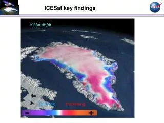
Data specifically processed to provide the best Ice Sheet elevation Subset for Data contains Antarctic and Greenland only. (14 orbits/approx. 1 day) Selection of Elevation techniques available GLA12 L2 Ice Sheet Altimetery
Data specifically processed to provide the best Sea Ice elevation Subset for Data contains only possible Sea Ice areas only. (14 orbits/approx. 1 day) Sea Ice elevation, Second Peak for Iceberg, roughness estimate GLA13 L2 Sea Ice Altimetry Sea Ice Thickness from ICESat March 12-28, 2003 50 km grid
Three Representative Return Pulse Waveforms 1 2 3 z2 z2 zc z2 15 Height Above Ground (m) crown depth z1 zc zc canopy height z1 z1 0 low canopy closure high canopy closure GLA14 L2 Land Surface Altimetry • Data specifically processed to provide multi-return detection for surface elevation and vegetation tops • Subset for Data contains only land surfaces. (14 orbits/approx. 1 day) • Up to Six “surfaces” detected, reflectivity
GLA15 Ocean Altimetry • Data specifically processed to provide best Ocean surface elevation • Subset for Data contains only ocean surfaces. (14 orbits/approx. 1 day) • Selection of Elevation techniques available, reflectivity
GLA03 L1A Engineering GLA04 L1A Laser Pointing • GLA03 • includes satellite housekeeping data used to calibrate data values for GLA01 and GLA02. • GLA04 • provides attitude data from the spacecraft star tracker, instrument star tracker, gyro, and laser reference system, and other spacecraft attitude data required to calculate precise laser pointing.
GLA02 L1A Global Atmosphere Single profile 1064/532 532/1064 Atmosphere Profile Data Rates • Primarily normalized relative backscatter to compute cloud and aerosol layers • 1064 nm measurements for 20km vertical profile at 75 meter resolution • 532 nm measurements for 40km vertical profile at 75 meter resolution
GLA07 L1B Global Backscatter • contains the calibrated, attenuated backscatter for both the 1064 nm and 532 nm channels. • Approximately 2 orbits per granule
GLA08 L2 Global PBL and Elevated Aerosol Layer Heights • The Level-2 planetary boundary layer (PBL) and elevated aerosol layer heights contains top and bottom heights of elevated aerosols below 20.5 km (4 sec sampling rate) up to five layers, and up to three layers between 20.5 km to 41 km (20 sec sampling rate).
GLA09 L2 Global Cloud Heights • Cloud layer heights determined from the 1064 nm and 532 nm channels up to 6 layers tops and bottoms. • Determined at up to four different sampling rates: 4 sec, 1 sec, 5 Hz, and 40 Hz. • (14 orbits/approx. 1 day)
GLA10 L2 Global Aerosol Vertical Structure • Contains the optical inversion results from 532 nm backscatter and extinction cross sections, separated into cloud and aerosol components. • Contains top and bottom heights of all the layers that were optically processed.
GLA11 L2 Global Thin Cloud/Aerosol Optical Depths • Contains the layer-by-layer optical depth and multiple scattering factor separated into cloud and aerosol components. • Polar stratospheric clouds are part of the aerosol category. • Contains top and bottom heights of all the layers that were optically processed
Public Data Distribution • Website • nsidc.org/data/ICESat