Download
1 / 14
140 likes | 247 Views
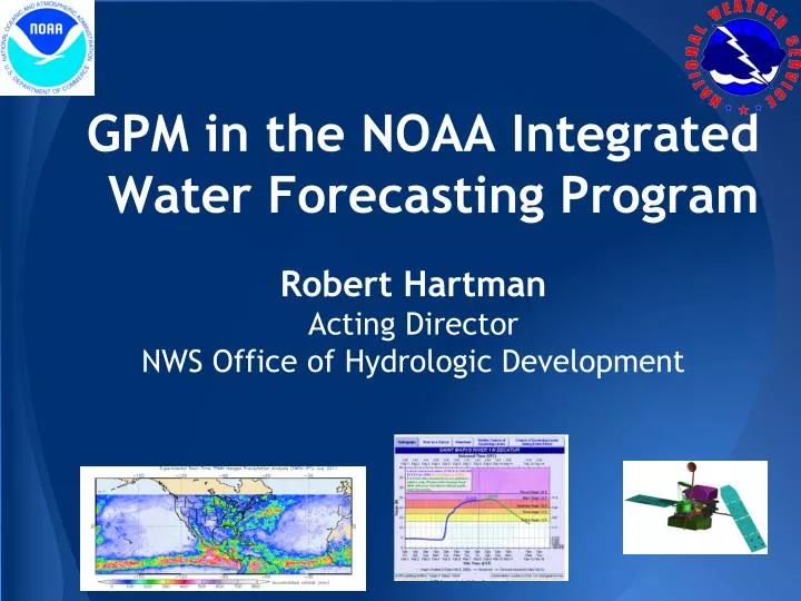
GPM in the NOAA Integrated Water Forecasting Program. Robert Hartman Acting Director NWS Office of Hydrologic Development . Overview. NOAA Integrated Water Forecasting Program Precipitation needs for operational water prediction

E N D
GPM in the NOAA Integrated Water Forecasting Program Robert Hartman Acting Director NWS Office of Hydrologic Development
Overview • NOAA Integrated Water Forecasting Program • Precipitation needs for operational waterprediction • Needs and opportunities for use of GPM-era satellite precipitation estimates • Recommendations and challenges 2
NOAA Integrated Water Forecasting Program Advanced Hydrologic Prediction Service (AHPS) Water Resource Outlook Flood Forecast and Outlook Precipitation Products Snow Observations • Integrated Water Resources Science and Services (IWRSS) • A “Summit to the Sea” framework • Align multiple agencies with complementary water-related missions;NOAA, USACE, USGS 4
Precipitation Needs for Water Forecasting Program • Precipitation estimates and forecasts drive the hydrologic forecast • Requirements for precipitation estimates: • Accurate • High-resolution • Timely (low latency) • Seamless 5
Multisensor Precipitation Estimation at NWS • Principal Sensors • Rain gauges • Ground radars (WSR-88Ds) • GOES infrared • Multisensor Fusion Products • River Forecast Centers (RFCs) use the Multisensor Preciptiation Estimator (MPE) to combine a suite of fused products • RFCs use selected products for River Forecast Operations • NCEP mosaics the RFC products to create the Stage IV national mosaic 6
Limitations of Existing Precipitation Products Radar Coverage and Quality Index Map of Hourly Gauges Large coverage gaps over the west for the cool season Lack of timely data for Northern Mexico coverage gaps in gauge data From NOAA National Severe Storms Laboratory: http://nmq.ou.edu
Use of Satellite Product RADAR Total rainfall 27-31 Aug 2008 Southwestern US Lack of radar coverage over area contributing to the Rio Grande. SATELLITE Total rainfall 27-31 Aug 2008 Southwestern US and Mexico Spatially complete coverage from CMORPH products 8
What can GPMoffer? • Direct • Fills inthe gaps in radar/gauge coverage • Identify/mitigateconspicuous radar/gauge/IR quality issues • Snow detection in cold regions • Indirect • Better precipitation forecasts from numerical weather/climateprediction models 9
GPM-related Work at OHD • OHD and NESDIS have conducted studies to identify the effects of TRMM (proxy of GPM) on: • Accuracy of a multisatellite rainfall product before and after TRMM Ingest • NESDIS Self-calibrating Multivariate Preciptation Retrieval (SCaMPR) • Hydrologic simulation accuracy using NWS hydrologic models • OHD has worked with NWS field and other NOAA line offices to devise an adaptive multisensor fusion framework that can intelligtently ingest GPM data 10
Impacts onAccuracy ofPrecipitation Product Critical Gauge Density • Two SCaMPR products: P (no TRMM) and T(with TRMM) were evluated along with interpolated gauge data • TRMM in general helps improve the accuracy of SCaMPR for winter and spring • SCaMPR products may outperform gauge data when gauge density is low TRMM helps improve CSI for winter/spring 10
Impacts on Streamflow Simulation • OHD performed hydrologic simulations for 10 Texas basins using SCaMPR products and gauge-only analysis as precipitation input Peak flow error without(P) and with (T) TRMM ingest TRMM helps reduce error in peak flow for most basins SCaMPR / GaugePeak Flow Error Ratio SCaMPR-based simulations comparable or better than gauge-based resultas for a minority of basins 11
Challenges and Next Steps • Better O2R paradigm • Does GPM algorithm development address forecast needs? • How does GPM complement the strength of our existing sensor platforms? • Recommendations • Use a test bed environment • Demonstrate/identify the utility of GPM-era QPE for a variety of water resources prediction needs • Increased synergy between NOAA and NASA in developing fusion products that meet the operaional requirements 12
Opportunities • Operations at River Forecast Centers and National Water Center to add value to precipitation products • Development of NCEP Rapid Updating Analysis system 13