Download
1 / 24
240 likes | 352 Views
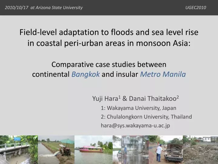
Field-level adaptation to floods and sea level rise in coastal peri-urban areas in monsoon Asia: Comparative case studies between continental Bangkok and insular Metro Manila. Yuji Hara 1 & Danai Thaitakoo 2 1: Wakayama University, Japan 2: Chulalongkorn University, Thailand

E N D
Field-level adaptation to floods and sea level rise in coastal peri-urban areas in monsoon Asia:Comparative case studies betweencontinental Bangkok and insular Metro Manila Yuji Hara1 & Danai Thaitakoo2 1: Wakayama University, Japan 2: Chulalongkorn University, Thailand hara@sys.wakayama-u.ac.jp
Asian large cities (population > 5million);Located on continental delta / insular lowlands
Purpose of this presentation • To show present case studies on landform transformation (LT) in response to flooding in continental Bangkok and insular Metro Manila • Horizontal land-use changes • LT processes • LT and floods • Field-level responses to floods (by local people and government) • Toward land-use and LT integrated planning for minimizing a flood hazard
Case study cities Continental Bangkok Insular Metro Manila Built-up area Built-up area 0 100km 0 100km
Horizontal land-use change:From rice fields to townhouses (Hara et al. 2005)
Vertical LT process:From dig & fill to introduced fill (Hara et al. 2008a)
Introduced fill from further areas (the rim of delta) • Fill volume(Hara et al. 2008a) • Production: 5.5×10⁷ m3 year−1 • Input: 5.7×10³ m3 km−2 year−1
Flood characteristics:Sheet flow and parcel-level water management (using RID data) • Floods come gradually • Water level is manageable per each parcelusing private pump with gasoline engine
Using sandbags to build temporal banks to protect water coming in, and then releasing floodwater to the canal by pumping Temporal adaptation to sheet flow flooding • Using a boat, that was traditionally utilized as a main transportation mode and still kept along the canal
10– 20 years adaptation to rising water baseline due to the loss of flood retention capacity by introduced fill • Lifting up a pathway and a road • Lifting up a floor (as their traditional house structure)
Suggestions for spatial planning • Main problem on the current planning process • No linkage between land-use plan and water management plan • Toward better planning • Zoning based on acceptable fill (water) volume that can induce field-level adaptation using inherent LT methods • Focusing not only on regulative measures but more on incentive ones (for instance bonus floor area ratio for preparing ponds)
Continental Bangkok Insular Metro Manila Built-up area Built-up area 0 100km 0 100km
Horizontal land-use change:From natural micro landform basis to LT basis (Hara et al. 2008b)
Vertical LT process: Landfilling on lower landforms (Hara et al. 2008b)
Flood characteristics: Flash flowEastern plain as “flood control pond” to protect downstream central Manila (Hara et al. 2002)
10 – 20 years adaptation: Individual landfilling up to the highest flood level in their experiences Adapting themselves to their own experiences without any consideration of neighbors and flood control scheme by the government
It has caused changes in distribution of flood-prone areas and required temporal adaptation SPOT 1987/11/18 SPOT 1997/10/26 Emerging submerged areas with poor drainage surrounded by landfill corridor (Hara et al. 2002)
New threat due to infrastructural development Tropical Storm Ondoy Flooded Areas (NAMRIA 2009)
New infrastructures accelerated flash flow hazard Newly built bridges trapped a lot of debris, and functioned as temporal dam during Ondoy ALOS PALSAR image soon after Ondoy (Modified after NAMRIA 2009)
Failure of planning: Subdivision out of lakeshore dike • It was built before the construction of lakeshore dike in 2004 (not subject to zoning code?)
Suggestions for spatial planning • Main problem on the current planning process • Land-use plan is based only on road network • Toward better planning • Landfill practice should be subject to micro landform to avoid poor drainage area surrounded by landfill corridor • Need to coordinate landfill material flows between suppliers and consumers • Link between infrastructures (including non flood protection ones) and land uses
Summary matrix Similar case studies are being carried out in other Asian low-lying cities…