Download
1 / 25
290 likes | 625 Views
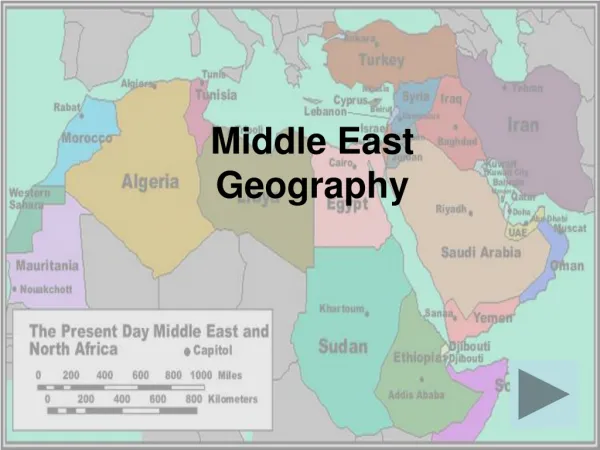
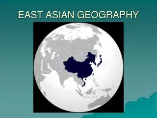
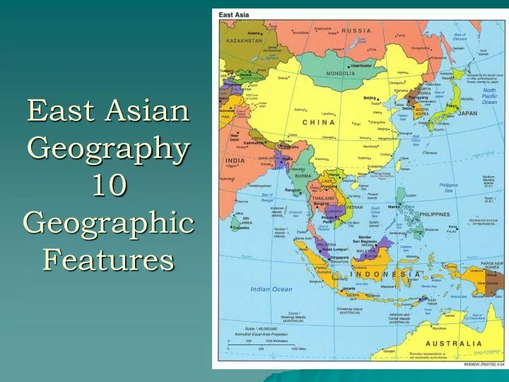
East Asian Geography 10 Geographic Features. #1. East Asia features many islands & archipelagos. Japan is an archipelago Chain of islands Over 3000 tiny islands. #2.

E N D
#1. East Asia features many islands & archipelagos Japan is an archipelago Chain of islands Over 3000 tiny islands
#2 The Ring of Fire is a narrow band of volcanoes that nearly encircles the Pacific Ocean. 75% of world’s active volcanoes are here.
#3 • China is home to 3 of the world’s largest cold deserts. • Gobi (largest desert in Asia) • Taklimakan (the sea of death) • Chang Tang (plateau of Tibet)
#4 • Three major rivers are a lifeline to Asia • Yangtze (longest) • Huang He (Yellow) • Mekong • Greatly influence the way people live in Asia
Chinese civilization began on the Yellow River • Loess – fertile topsoil spread by wind; largely agricultural society
#5. China’s civilization developed over a long period in considerable isolation, protected by physiographic barriers and by sheer distance from other cultures.
The Himalayas in the South • The TaklaMakan& Gobi deserts to West & North
#6: Mountains & Plateaus are major feature of topography • Himalayas & Tibetan Plateau • 4/5th of Japan is mountainous terrain, thus not a lot of arable land. • Korea also features many mountainous areas.
Tibetan Plateau . All told, some two billion people in more than a dozen countries—nearly a third of the world's population—depend on rivers fed by the snow and ice of the plateau region.
7. China’s enormous population is strongly concentrated in the country’s eastern regions. Western areas remain comparatively empty and unproductive.
In Japan • Most of the population lives in coastal plains and/or river valleys. • Kanto Plain very crowded • 20,000 ppl. Per sq. mile
#8: “The Land of Rice & Fish” • Rice is a staple • 90% of this crop is grown in East Asia & consumed there. • The majority of people in E. Asia eat rice 2 or 3 times a day. • North of the Yangtze River, the climate is more suited for wheat growing • The close access to water=diet of fish.
#9: Natural Resources vary greatly according to region • China: very rich in natural resources • Oil, coal, iron, etc. • Japan is limited in natural resources & is dependent on other nations
#10: Much of Southeast Asia is covered by rainforestWhat kind of effects would this have?
China remains a dominantly rural society with limited urbanization and industrialization outside of its city centers. It is one of the world’s oldest continuous civilizations