Download
1 / 66
660 likes | 768 Views
The Geography of Africa. AFRICA. Africa is a region of occurrences – from tsunamis to droughts; fires to floods and meteor impacts to epidemics and pandemics. Between 1975 and 2005, the population more than doubled from 335 to 751 million and is predicted to reach 1.1 billion by 2025.

E N D
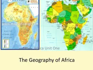
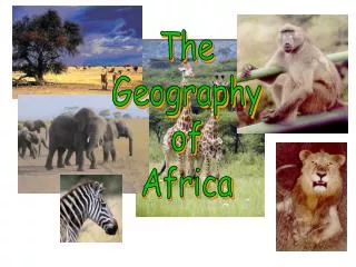
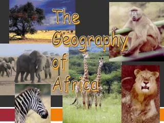
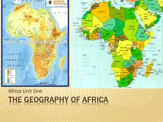
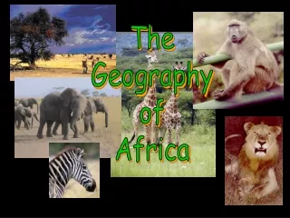
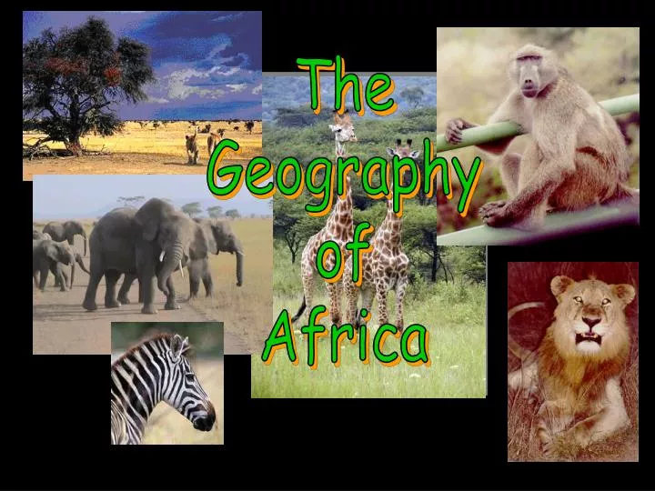
The Geography of Africa
AFRICA • Africa is a region of occurrences – from tsunamis to droughts; fires to floods and meteor impacts to epidemics and pandemics • Between 1975 and 2005, the population more than doubled from 335 to 751 million and is predicted to reach 1.1 billion by 2025 • Currently Africa’s growth rate is at 2.2 per cent a year • Total forest area of Africa is 5 683 131 km2; Africa constitutes about 17 per cent of the world's forests; Nigeria has the world’s highest deforestation rate • 300 million Africans do not have access to safe water, about 313 million have no access to sanitation and over 88 million people are malnourished • In Africa, agriculture provides livelihoods for about 60 per cent of the continent's active labour force, contributes to 17 per cent of Africa's total gross domestic product and accounts for 40 per cent of its foreign currency earnings Sources: FAO, Population Reference Bureau
The topography of Africa features a series of relatively flat plateaus and saucer-shaped basins, broken by highlands, mountain ranges, and valleys. Northern and western Africa, widely known as Low Africa, has much lower mean elevations than the south and east, often called High.
Savanna - 40%, safari!! Tropical Rainforest - 8%, Desert - 40% Mediterranean - 12%, good farm land About 85% of the land is not suited to farming Climate - determined by rainfall, latitude and elevation
Thatch House in Kenya Circular thatch houses are common in many parts of Africa. Here, the inhabitants of Amboseli, a village in Kenya, are putting the finishing touches on a new dwelling. To build these houses, thatch must be attached in layers to a frame made of wood. The floor inside is made of dried mud.
High Atlas Range, Morocco Jebel Toubkal, the tallest mountain in North Africa, rises above a rocky valley in the High Atlas range of Morocco. Although the summit is 4,165 m (13,665 ft) above sea level, it is often free of snow.
Ras Dashen In northern Ethiopia the Ethiopian Plateau rises to its highest point at Ras Dashen (4,620 m/15,157 ft). The mountain’s jagged surroundings are home to several animal species unique to Ethiopia.
Mount Kenya Mount Kenya is an extinct volcano in central Kenya. At 5,199 m (17,057 ft) tall, it is the second tallest mountain in Africa.
Margherita Peak, mountain in northeastern Democratic Republic of the Congo (DRC, formerly Zaire) and the third highest peak in East Africa at 5,109 m (16,762 ft). The tallest peak in the Ruwenzori Range, Margherita Peak forms part of the DRC's border with Uganda.
Mount Meru Extinct volcano in northeastern Tanzania, about 68 km (42 mi) west of Kilimanjaro. After Kilimanjaro, it is the second highest mountain in Tanzania at 4,565 m (14,977 ft).
The Great Rift Valley is one of the most distinctive features of African topography. Formed where Earth’s crust is being pulled apart by the action of convection currents beneath the surface, rift valleys are long, deep valleys bounded by parallel faults, or fractures, in Earth’s crust. The Great Rift Valley system begins in Syria, in the Middle East, and extends southward, down the length of the Red Sea.
Drakensberg Mountains The Drakensberg Mountains in eastern South Africa form part of the Great Escarpment, a ridge that divides the central plateau regions of southern Africa from the lowland regions on the coast. Extending from Limpopo Province south to the province of Eastern Cape, the Drakensberg range contains the highest elevations in South Africa.
Lake Tanganyika Lake Tanganyika, located in the Great Rift Valley, is the longest and second deepest freshwater lake in the world.
Lake Albert also Albert Nyanza and Lake Mobutu Sese Seko, lake, east central Africa, in western Uganda and northeastern Democratic Republic of the Congo (DRC, formerly Zaire).
Lake Turkana Lake Turkana is the largest and most northerly of all the Great Rift Valley lakes. It lies mostly in Kenya, with its northernmost tip extending into Ethiopia. The striking jade-green color of its waters is due to the presence of blue-green algae. A massive volcanic crater is situated at the southern end of the lake.
The Sahara is the world’s largest desert. It stretches from the Atlantic Ocean to the Red Sea, and from the Mediterranean Sea and Atlas Mountains southward for 2,000 km (1,000 mi)
Desert on Atlantic Coast The Namib Desert extends along the Atlantic Coast in Africa for 1,500 km (930 mi), mostly in Namibia.
Fouta Djallon Savanna While most of the Fouta Djallon region in Guinea is a rugged mountain plateau cut by deep valleys, the eastern portion is gently sloping land covered in part by savanna. The largest ethnic group of the region is the Fulani, many of whom raise cattle on the grasslands. The Fulani arrived in the region in about the 10th century, and later established a series of kingdoms throughout the area which stood until defeated by colonial powers in the late 19th and early 20th centuries.
Botswana Tableland Botswana lies on what is called tableland—a huge semiarid plateau that averages 1,100 m (3,300 ft) in elevation. It has a subtropical climate and is covered by savanna vegetation of grasslands with few trees.
Wildflowers of Namaqualand Namaqualand, in western Northern Cape province, South Africa, is usually dry and barren. However, vibrant wildflowers cover the landscape for a brief period each spring.
Okapi The okapi, a member of the giraffe family, lives a secluded life deep in the rain forests of eastern Africa. Reaching heights of more than 2 m (7 ft) at the shoulder, the okapi feeds on the leaves of low-growing tree branches.
Verreaux’s Sifaka Verreaux’s sifaka, a species of lemur, lives in the dry forests of western Madagascar where it spends most of its time in trees eating fruit and leaves. Weighing less than 4 kg (less than 9 lb), it is known for its long, stunning leaps of 10 m (34 ft) between trees. Sifakas, like other lemurs, are endangered by habitat destruction.
Cheetah The cheetah is believed to be the fastest animal on Earth, reaching speeds of more than 97 km/h (60 mph) while chasing prey. Wildebeests, gazelles, impalas, and other hoofed mammals make up much of the cheetah’s diet. Cheetahs generally stalk their prey to within 10 m (33 ft) and then burst into a sprint to close the gap. Studies indicate that approximately half of the chases initiated by the cheetah are successful
Nile River A number of different watercourses drain into Africa’s Nile River. The Blue Nile, originating in Ethiopia, joins the White Nile at Khartoum, Sudan; from this point the Nile runs northward through Sudan and Egypt and empties into the Mediterranean Sea. As shown here, the Nile provides people and materials with a means of transportation.
Victoria Falls One of the most spectacular waterfalls in the world, Victoria Falls is formed as the entire flow of the Zambezi River drops from a relatively flat plain into a narrow cataract. On the border of southern Zambia and northwestern Zimbabwe, the gorge was created when a layer of resistant rock wore away, exposing softer rock beneath.
Lake Victoria Lake Victoria in Africa is the world’s second-largest freshwater lake. These large rock formations lie on the lake’s southern shore in Tanzania.
Large artificial lakes that were created by damming major rivers. A significant fishing industry has developed around the lake.
Okavango Delta In the Okavango Delta in Botswana, water from the Okavango River flows through many channels filled with papyrus and other aquatic plants.
Africa’s Size 4 6 0 0 M I L E S 5000 MILES • Second largest continent 11,700,000 sq. mi. • 10% of the world’s population. • 2 ½ times the size of the U. S.
Mediterranean Sea Bodies Of Water Red Sea NileRiver NigerRiver L. Chad--> <--Gulf of Aden L. Albert--> Congo River L. Victoria L. Tanganyika-> Indian Ocean Atlantic Ocean Zambezi River LimpopoRiver OrangeRiver Pacific Ocean
The Congo River Basin • Covers 12% of thecontinent. • Extends over 9countries. • 2,720 miles long. • 99% of the countryof Zaire is in theCongo River basin.
The Niger River Basin • Covers 7.5% of the continent. • Extends over 10 countries. • 2,600 miles long.
Atlas Mts. Mountains & Peaks ΔMt. Kenya ΔMt. Kilimanjaro Ruwenzori Mts. Drajensburg Mts.
Libyan Desert Deserts Sahara Desert Sahel Namib Desert Kalahari Desert