Download
1 / 12
220 likes | 377 Views
Geographic Information Systems (GIS) for Epidemiology and Public Health. GIS is about geography and about thinking geographically. --- Demers, What is GIS ? (Movies). GIS definitions.

E N D
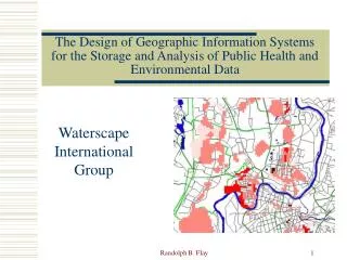
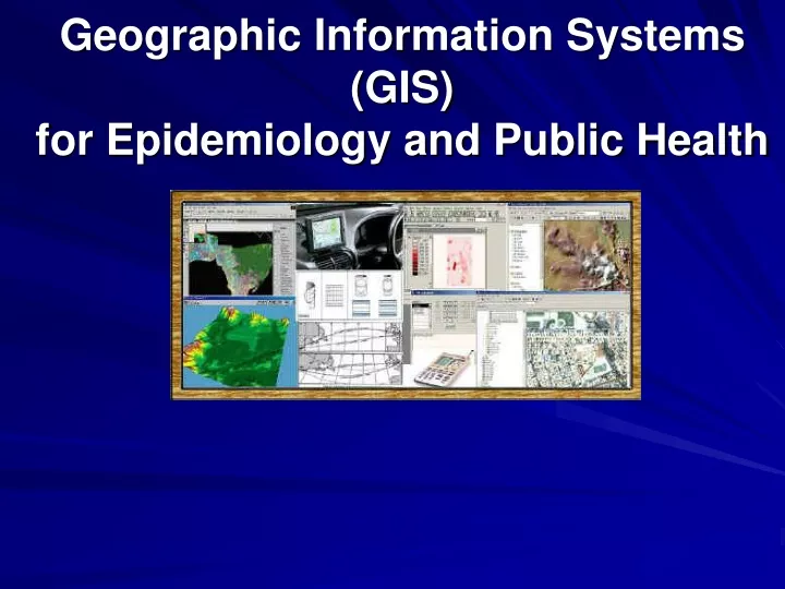
Geographic Information Systems(GIS) for Epidemiology and Public Health
GIS is about geography and about thinking geographically. --- Demers, What is GIS ? (Movies)
GIS definitions • Demers, 2000: GIS are tools that allow for the processing of spatial data into information, generally information tied explicitly to, and used to make decision about, some portion of the earth.
Medical Geography • Control of infectious disease very important • Disease control requires understanding • Geography can provide intelligence • Location can influence health John Snow's 1854 study – cholera mapping • Spatial analysis can assist in solving medical problems
Dr. John Snow’s London Street Map (1854) http://www.ph.ucla.edu/epi/snow/Snowpart2_files/frame.htm (slide 10-15)
What GIS Can Do? • Integrate many different types of data • Spatial data + Non-spatial data (statistical, texts,..) • With GIS we can easily: • Draw maps and visualize spatial distributions • Edit and alter existing data • Accurately measure distances and areas • Overlay maps of different areas • Internet GIS for public access.
Combine Geographic Locations with Attribute Data
What GIS can help Public Health? • Research Tools and Planning • Constructing mathematical models • Service planning and optimisation • Making predictions • Spatial Decision Support Systems • Infrastructure – roads, towns, services • Census – population statistics • Medical resource (hospitals, clinics, available beds) • Emergency Response Systems • Medicare records, 911 services • disease registers systems
San Diego Wildfire 2003 Http://map.sdsu.edu (GEOG 596) Internet Mapping
Application Examples • GIS currently underutilized generally • Great potential in: • Epidemiological research • Communicable disease control • Health service planning and optimization
Summary • GIS can provides spatial dimension to epidemiological research(visualization, modeling…). • GIS can be used for many public heath applications and services.(efficient allocation of health care resources, equity in accessibility to services…) • Internet GIS can provide the public health information in real-time. (evaluation, decision support systems, emergency response…)