Download
1 / 28
280 likes | 397 Views
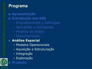
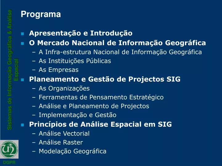
Programa. Apresentação e Introdução O Mercado Nacional de Informação Geográfica A Infra-estrutura Nacional de Informação Geográfica As Instituições Públicas As Empresas Planeamento e Gestão de Projectos SIG As Organizações Ferramentas de Pensamento Estratégico

E N D
Programa • Apresentação e Introdução • O Mercado Nacional de Informação Geográfica • A Infra-estrutura Nacional de Informação Geográfica • As Instituições Públicas • As Empresas • Planeamento e Gestão de Projectos SIG • As Organizações • Ferramentas de Pensamento Estratégico • Análise e Planeamento de Projectos • Implementação e Gestão • Princípios de Análise Espacial em SIG • Análise Vectorial • Análise Raster • Modelação Geográfica
Reflexão / Síntese Percurso(s) da realidade à teoria com os Sistemas de Informação Geográfica aplicados à gestão do território
Realidade e Teoria Representar Agir Decidir Interpretar Analisar Monitorizar Conhecer
Realidade e Teoria Representar Agir Decidir Modelos Interpretar Analisar Monitorizar Conhecer
Percursos Representar Modelos Decidir Agir Conhecer Analisar Informar Participar Monitorizar Interpretar
Representar Representar Modelos Decidir Agir Conhecer Analisar Informar Participar Monitorizar Interpretar
Representar Representar Sistemas de Cartografia Digital Sistemas de Cadastro Sistemas de Detecção Remota Sistemas de Posicionamento Global Modelos Decidir Agir Conhecer Analisar Informar Participar Monitorizar Interpretar
Analisar e Interpretar Representar Modelos Decidir Agir Conhecer Analisar Informar Participar Monitorizar Interpretar
Conhecer, Decidir e Agir Representar Modelos Decidir Agir Conhecer Analisar Informar Participar Monitorizar Interpretar
Informar Representar Modelos Decidir Agir Conhecer Analisar Informar Participar Monitorizar Interpretar
Analisar e Interpretar Representar Modelos Decidir Agir Conhecer Analisar Informar Participar Monitorizar Interpretar
Monitorizar Representar Modelos Decidir Agir Conhecer Analisar Informar Participar Monitorizar Interpretar
COS98/PDM PDM (ha) URB EQ + ÁREA EDIFICADA = EDIFICADO UBUBZ - ÁREA EDIFICADA + PROCESSOS = EM EDIFICAÇÃO Carta de Ocupação do Solo 98 UBZ INDPROP - EDIFICADO - EM EDIFICAÇÃO = EDIFICÁVEL Processos
Conclusões TEORIA PRÁTICA
Conclusões TEORIA Informação Conhecimento PRÁTICA
Conclusões TEORIA TIG Informação Conhecimento PRÁTICA