Download
1 / 9
90 likes | 183 Views
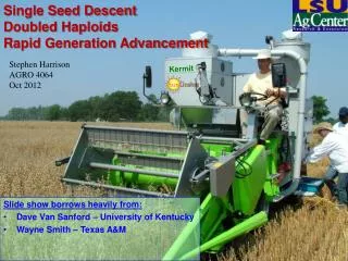
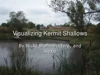
Visualizing Kermit Shallows. Carey, Jasmine, Jonathan, & Dalton. Pond Definitions and Parts. A pond, in a limnologist’s description is a shallow and quiet body of water. So shallow in fact, rooted plants grow across it. The temp. is uniform from the top to bottom and

E N D
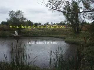
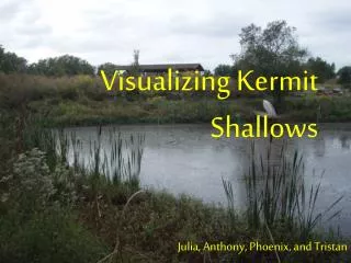
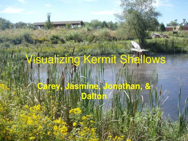
Visualizing Kermit Shallows Carey, Jasmine, Jonathan, & Dalton
Pond Definitions and Parts A pond, in a limnologist’s description is a shallow and quiet body of water. So shallow in fact, rooted plants grow across it. The temp. is uniform from the top to bottom and changes with the air temp. The littoral habitat of a pond extends from the water’s edge to where rooted plants grow. In many cases, the littoral habitat extends from one one shore to the other. Plant zones are present in a pond. The littoral zone has the richest plants of all the zones. The zone closest to the edge of the pond is the Emergent Plant Zone. It is dominated by plants that are rooted to the bottom and have stems and leaves above the surface. The masses of the floating plants in the Floating-leaf plant zone shade out light making bottom plants scarce. The inner most vegetation forms the Submersed plant zone. The plants in this zone are bushy and branched and The plants reproduce underwater. Reid, G.K. (2001). Pond Life. New York, NY: St. Martin’s Press.
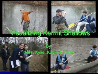
Pond Profile Data Collection 1. A transit line was put around the pond starting at the northwest corner and leveled using bubble levels. 2. Stakes were put every 5 m around the pond. 3. Flags were placed on each stake so that they could be found. 4. Starting at the northwest corner, a string with flags at every 5 m was run across the pond. The first 5 meter flag on the string was placed on the stake on the north side and brought down level with the transit string. The string was leveled on the south side of the pond using a bubble level above the corresponding stake. The string was kept tight. 5. Measurements were taken at each flag on the string using a 2.4 m pole that had been marked off in .5 dm units. Measures above dry soil were given positive values (+) and measurements below water level were given negative values (-). 6. Measures were taken for all 15 stakes on the north and south side.
Gathering More Data- Video Clip Double-click slide to watch clip
In this data only 13 stakes were used, the 14th and 15th stakes on each side were added in as 0 values as can be seen on the next slide.
Visualizing using Excel, Easy-Viz, and gnuplot Excel 2D Graphs Excel 3D Graphs Easy-Viz Graph gnuplot Graph
What do the visualization show us about our POND??? Kermit Shallows is shallow around the edges. The pond tends to be deeper towards the wider side. It is some what dish shaped in the deeper parts and forms into a triangular shape as the water gets shallower.