Download
1 / 11
110 likes | 222 Views
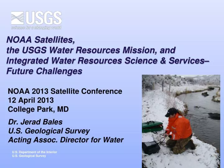
NOAA Satellites, the USGS Water Resources Mission, and Integrated Water Resources Science & Services– Future Challenges. NOAA 2013 Satellite Conference 12 April 2013 College Park, MD Dr. Jerad Bales U .S. Geological Survey Acting Assoc. Director for Water.

E N D
NOAA Satellites, the USGS Water Resources Mission, and Integrated Water Resources Science & Services– Future Challenges NOAA 2013 Satellite Conference 12 April 2013 College Park, MD Dr. Jerad Bales U.S. Geological Survey Acting Assoc. Director for Water
Water-Cycle Research • Observing: Data and data interpretation • Understanding: Physical processes • Forecasting: Add value to understanding • Communicating: Ultimate goal
The Answers Require. . . • In situ data • Trend detection • Process understanding • Model and sensor validation • New sensors and networks • Remotely-sensed information • Ancillary data • Community modeling approaches • Data interoperability at different spatial and temporal scales • Data assimilation schemes for forecasts
Land Atmosphere Coupling 16-station, 5-year moving average July precipitation for area shown Percent difference in mean July precipitation, 1900 – 1950 vs. 1951 - 2000 Kustu et al., WRR, 2011
Evapotranspiration Anderson et al., Remote Sensing Envr., 2012
Landsat Data Continuity Mission More image data – • 40 year record is extended to 45-50 years, or more • 60% more coverage – 400 scenes/day vs. 250 scenes/day with Landsat 7 • 100% of data goes to the US archive each day vs. ~40% with Landsat 7 Better image data – • 5x improvement in signal to noise ratios • 12 bit quantization (256 vs 4096) • Improved cartographic accuracy due to advanced spacecraft geo-location
Model Performance Simulated (red) and observed (black) annual mean discharges Alkama et al., 2011, J. Climate, 24
Challenging Times for Earth Science • A continuing challenge to long-term Earth observations is the prejudice against science that is not directly aimed at hypothesis testing…We cannot afford such a rigid view of the scientific enterprise. • The only way to figure out what is happening to our planet is to measure it, and this means tracking changes decade after decade and poring over the records. Science, 2008, p. 1771-1772, Ralph F. Keeling
Thank you Photo credit: Steve Norbeck, April 21, 1997, Red River of the North at Grand Forks, ND