Download
1 / 31
310 likes | 468 Views
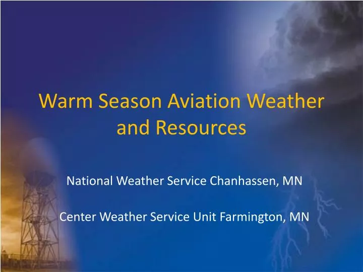
Warm Season Aviation Weather and Resources. National Weather Service Chanhassen, MN Center Weather Service Unit Farmington, MN. Outline. National Weather Service background TAF information Radar Resources you can use. Weather Forecast Offices (WFO).

E N D
Warm Season Aviation Weather and Resources National Weather Service Chanhassen, MN Center Weather Service Unit Farmington, MN
Outline • National Weather Service background • TAF information • Radar • Resources you can use
National Weather Service WFOChanhassen, MN • Located about 25 miles west of Minneapolis/St. Paul International Airport • 25 full-time staff members • At least 2-3 per shift
WFO Aviation Weather Services • TAFs • Aviation Forecast Discussion • Airport Weather Warnings (KMSP) • Ballooning Forecasts • Soaring Forecasts
Center Weather Service UnitFarmington, MN Located within the City of Farmington, MN about 20 miles S of MSP airport Staffed by 4 NWS meteorologists from 5:00 am – 8:30 pm, 7 days a week.
CWSU Aviation Weather Services • Provide Professional Meteorological Services to FAA Air Traffic System Accomplished with: -Center Weather Advisories, CWA (immediate hazards to aircraft) -Meteorological Impact Statements MIS (Planning Product for air traffic system) -Collaborative Convective Forecast Product, CCFP (Coordinated 6 hour Thunderstorm forecast) -In-person and telephone briefings
A Little Bit About Thunderstorms • All thunderstorms have updrafts and downdrafts. Any thunderstorm can produce downbursts, severe turbulence, severe icing, heavy rain, and deadly lightning • Updraft: part of the storm where air rises (usually on the west or southwest side of the storm) • Downdraft: part of the storm where air sinks
overshooting top Updraft rain-free base
Downdraft shelf cloud rain core
TAFs • Forecast for a specific point (w/in 5 SM of center of the airfield) • No PROB30 groups used in the first 9 hours • Forecasters express uncertainty or variability of conditions (especially TS) by using: - VC - TEMPO - CB (BKN030CB)
TAFs Indicates –TSRA may be developing SHRA/TSRA between 5 and 10 SM from the airfield TAF KMSP 011740Z 011818 15012KT P6SM SCT040CB FM2100 16012KT P6SM VCSH BKN040CB TEMPO 2224 30024G50KT 1SM TSRA BKN030CB OVC050 FM0000 30010KT P6SM –SHRA BKN040CB FM0200 30010KT P6SM SCT040 50% chance of occurrence 50% of the time
TAF Tips • Watch trends/changes with each issuance • Watch for amendments • Read the Aviation Forecast Discussion
TAF Tactical Decision Aidhttp://www.srh.noaa.gov/zhu/main/TDA.php?sid=msp&timeoutput=z Enter TAF Identifier
Radar: Warm Season • What are you seeing? • What can you expect? • Where can you find it?
Radar…What can you expect? • Greens - light precipitation - minimal visibility restriction - weak updrafts • Yellows - moderate precipitation - visibility of a few miles - stronger updrafts/downdrafts possible…turbulence - icing possible or nearby
Radar…What can you expect? • Reds/Purples - heavy precipitation…hail? - low visibility…1SM or less possible - Strong updrafts/downdrafts…turbulence - gusty winds - icing STAY CLEAR!!!
http://adds.aviationweather.gov/radar/ Click on the map to see nearest radar image
http://adds.aviationweather.gov/radar/ Click an arrow to view adjacent radars Click to loop images
Prog Charts • Useful to see the weather pattern up to 48 hours out • A good first look for planning
Aviation Forecast Discussion • Issued by most local offices that issue TAFs • Explains the reasoning behind the TAF • May also indicate confidence in the forecast and potential deviations that may occur • Can also help provide info for conditions between the TAF sites