Download
1 / 25
440 likes | 768 Views
GIS and BIM Integration: Business Level Framework. Guduru Raghunath Babu Vice President Geospatial Technologies Surbana International Consultants Pte Ltd Singapore. Background. Why Integration. Business Model. Future Trends. Background. Usage of GIS is still in growing state.

E N D
GIS and BIM Integration: Business Level Framework Guduru Raghunath Babu Vice President Geospatial Technologies Surbana International Consultants Pte Ltd Singapore
Background Why Integration Business Model Future Trends
Background • Usage of GIS is still in growing state. • Organisations are trying to conceptualise BIM and find ways to use this technology • Coding in every details of a building ( any type) + analysis is BIM. • It needs very detailed attribute information in terms of design specifications, standards and rules well before the development of the asset.
Objectives Part one • To understand the need to integrate GIS and BIM. • What are key factors that needs to be considered. • A business level Framework. Part two • To discuss the future trends of Geospatial technologies that impact the Socioeconomics.
Perceived value • GIS and BIM are seen as technical tools for improve designs. • A team of technical consultants will do the ‘drawings’ , ‘maps’ and plans. • Some analysis is possible and times it saves time. • NOT SEEN as game changers. • NOT SEEN as tools for integrated work environment • NOT SEEN as systems that would brings in unified standards.
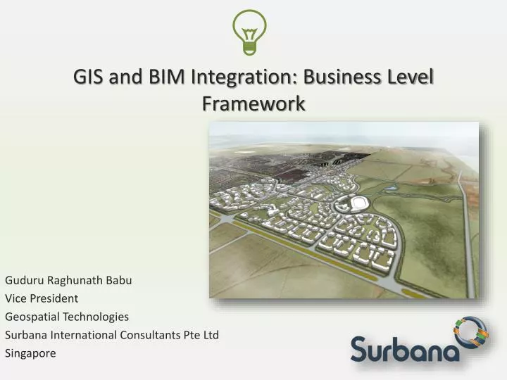
Why to Integrate • To understand the need for integration lets run through a example. Case: A fast developing city selected to be host of a global sport event in 2022, geared up to spend US$75b in 12 years time. As part of the preparation host city wants to develop some part of city and create a world class living, business and entertainment district.
Full cycle sustainable development Scope of the project is to deliver design & develop a green field site of about 80 sq.km Urban design & Architecture Detailed Engineering Construction Maintenance
Key points of non coordinations • At urban planning stage, site plans are created with very less emphasis on ground level accuracy. • At Detailed engineering level, there will be need to precise survey of the site, where the plans created in the previous stage are no more useful. • At the construction stage inputs from earlier stages are not carried in, due to lack of unified coordination. • In most cases, spatial data is transferred as files ( shape, dwg etc) to the next level.
Reasons • Isolated business goals and targets. • Lack of understanding of others businesses. • Little understanding of the coordination perspective of technologies ( using technology as coordination tool) • When to do what ( when to bring in technology)
Result - Silos model Urban Planning GIS Infrastructure GIS Centers Existing Data Architecture Agencies GIS Landscape BIM Survey Dept Survey Engineering Survey Site Survey Project Monitoring/ IT System Business data
Business Model for Integration • Technologists and business leaders are forced to change and bring in better methods to survive in the business and be competitive. • Michael E porters five competitive forces theory simplifies the reasons for organisations to be nimble.
Stake holders & roles • Technology and domain experts should work together to evolve a solution. • Design standards and data standards needs to be in place. • A seamless data models ( simple to complex) needs to be developed. Integrated Business centric solution Leaders Domain Experts Technologists
Integrated model Urban Planning GIS Infrastructure GIS centers Existing Data Architecture Agencies GIS Landscape BIM Survey Dept Survey Engineering Site Survey Business data Project Monitoring/ IT System
Key Technology changes • Real time design and modeling – 3D GIS & BIM • Unified data models - CityGML • Intelligent data collection – scanners, sensors • Extensive knowledge and analytics - GioBI
Real time design and modeling • Design activity will become more interactive, developers will get to know the cost, sustainability and project schedule ( with 95% accuracy) before the project starts. They would exactly the following. • Capital Investment • Regulatory adherence • Project time line • Environmental sustainability • Design • Contractors • Logistics • Material
Unified data models - cityGML • CityGML plays a key role in making GIS & BIM to work together. • Initiative of OGC to give a semantic city model ( since 2005) is the first step to integrate 3D GIS models into upstream activities. • BIM follows IFC standards which will also handle schedule, cost estimates, along with walls, roofs, floors, doors and other objects of building inventory.
How to complement • GIS bring in strong spatial analysis of location and surrounding. • GIS forms the base of the next level. • BIM is good for Specific construction site analysis ( LOD 4 ), design, sharing and project management.
Intelligent data collection- sensors • Geo enabled Sensors play a vital roles in developing and managing smart cities. • KPIs like, traffic, vehicular pollution, industrial pollution, energy consumption and resulting carbon foot prints are monitored using various types of sensors.
Geo Business Alalytics - GeoBI • Display, query and analysis of large data is always a challenge for GIS users. • GeoBI would help to query analyze huge volumes of data in very short time. • GeoBI can also seamlessly work through number of sources and provide.
Conclusion • Geospatial shall a very vital role in future ‘smart city’ initiatives . • If Sustainability is the way forward for future cities. There is NO way forward with Geospatial platforms in place • Integration, ability to work with GIS & BIM ambidextrously will yield great results.
“Knowing where things are, and why, is essential to rational decision making.” – Jack Dangermond Thank you……