Download
1 / 29
290 likes | 394 Views
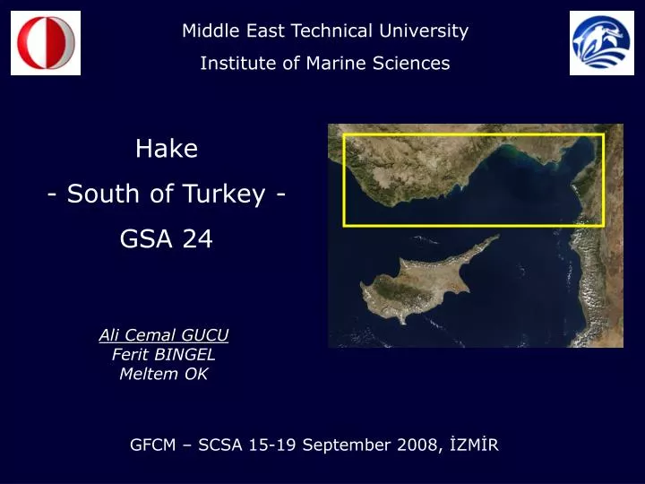
Middle East Technical University Institute of Marine Sciences. Hake - South of Turkey - GSA 24. Ali Cemal GUCU Ferit BINGEL Meltem OK. GFCM – SCSA 15-19 September 2008, İZMİR. Middle East Technical University Institute of Marine Sciences. www.ims.metu.edu.tr. X. R/V BILIM

E N D
Middle East Technical University Institute of Marine Sciences Hake - South of Turkey - GSA 24 Ali Cemal GUCU Ferit BINGEL Meltem OK GFCM – SCSA 15-19 September 2008, İZMİR
Middle East Technical University Institute of Marine Sciences www.ims.metu.edu.tr X
R/V BILIM 300 GT, Steel hull, Length: 42 m, Beam: 9.47 m, Tonnage: 433 gross, Speed: 11.5 knots max, 9.5 knots cruising LAMAS Wooden hull trawler, 35 Gross tons; 12 knots max speed; length: 17 m; ERDEMLİ Wooden hull sail boat, 30 Gross tons; 10 knots max speed; length: 17 m;
Purse seiners Trawlers Evolution of the industrial fishing fleet (DIE, 2004)
Hake landings – South of Turkey State Statistical Institute, Fisheries statistics
Climate Change Summer sea surface temperatures
Water Masses 1 - Levantine Surface Water - LSW In the Levantine Basin LSW is the overtopping warmer and more saline surface layer, extending down to 40 m; occupying most of the surface layer of the Eastern Mediterranean Sea during the warm part of the year. It is the product of intense evaporation, with the salinity reaching maximum values of around 39.5 by the end of the summer, especially in the northwest Levantine and southeast Aegean Seas around Rhodos 2 - Atlantic water - AW The existence of AW is due to the influx of the Atlantic water through the Strait of Gibraltar 3 - Levantine Intermediate water - LIW The LIW is formed in the Levant Basin (off the Antalya) occupying the layer between 300 to 500 meters; it is warm and very saline; and affects the oceanography of the entire Mediterranean 4 - North Atlantic Deep water - NADW Deep Water—a deep water mass that spreads at about 200 meters below the Levantine Intermediate water that exits from the Gibraltar straits; is cooler and less salty than LIW, but it is warmer and saltier than the surface AW (and Modified Atlantic Water)
Competition by Lessepsian immigrants – Saurida undosquamis -
VI Seasonal occurrence at the subregions (1980-1982) III VII IV V II I
Ligas et al. Biol. Mar. Medit., 10(2):853-855 18.8 cm I-Goksu 18.8 cm II-Tirtar 18.8 cm III-Seyhan
n = 5821 min = 7 cm max = 43 cm http://www.faoadriamed.org/html/Species/MerlucciusMerluccius.html
Goksu – 1980/82 L∞ = 65.7; K= 0.28; Z = 3.27 (2.77 – 3.77) Tirtar – 1980/82 L∞ = 65.8; K = 0.28; Z = 3.45 (3.05 – 3.84)
Fall – 1983 – Merluccius merluccius Fall – 1983 – Saurida undosquamis
Fishing pressure (Number of boat at sight) 1980-1984
Fall 1983 - CPUE Fall 1983 – mean length
Spring – 1984 – Merluccius merluccius Spring – 1984 – Saurida undosquamis
Spring 1984 - CPUE Spring 1984 – mean length
Fall – 1984 – Merluccius merluccius Fall – 1984 – Saurida undosquamis
Fall 1984 - CPUE Fall 1984 – mean length