1 / 44

METODOLOGÍA

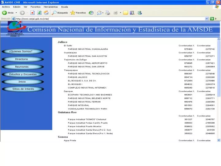
METODOLOGÍA. Conversión de Coordenadas UTM (Universal Transversa de Mercator) a CCL (Cónica Conforme de Lambert y a obtención de las Coordenadas Geográficas, utilizando el Programa Traninv www.inegi.gob.mx.

trilby
Download Presentation

METODOLOGÍA

An Image/Link below is provided (as is) to download presentation Download Policy: Content on the Website is provided to you AS IS for your information and personal use and may not be sold / licensed / shared on other websites without getting consent from its author. Content is provided to you AS IS for your information and personal use only. Download presentation by click this link. While downloading, if for some reason you are not able to download a presentation, the publisher may have deleted the file from their server. During download, if you can't get a presentation, the file might be deleted by the publisher.

E N D

Presentation Transcript


  1. METODOLOGÍA

  2. Conversión de Coordenadas UTM (Universal Transversa de Mercator) a CCL (Cónica Conforme de Lambert y a obtención de las Coordenadas Geográficas, utilizando el Programa Traninv • www.inegi.gob.mx

  3. 2. Utilizacion de cualquier SIG para crear la capa puntual de la localización exacta de los parques industriales Ej. Arc View

  4. Punto por punto

  5. A través de una base de datos u hoja Excell

  6. Agregar la capa

  7. Editar susatributos

  8. 3.Crear al archivo .Kml en Google localizando los parques industriales a través de sus coordenadas geográficas

More Related