Download
1 / 12
160 likes | 365 Views
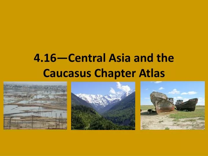
4.16—Central Asia and the Caucasus Chapter Atlas. Vocabulary. Landlocked—cut off from direct contact with any ocean Steppe—mostly flat grasslands Temperate—more mild; less extreme. Central Asia and the Caucasus.

E N D
Vocabulary • Landlocked—cut off from direct contact with any ocean • Steppe—mostly flat grasslands • Temperate—more mild; less extreme
Central Asia and the Caucasus • This week we’re actually talking about two regions—not just one. We’re learning about them together because they share many things in common, like physical geography and culture. • Flip to the “Take Notes” side of your guided notes. We’re going to label our map of the region together.
Central Asia and the Caucasus • Central Asia is a landlocked region, cut off from any direct contact with an ocean. • What problems do you think this poses for Central Asia? • Most of central Asia is made up of steppe and desert—the region is mostly flat and arid, though the eastern edge of the region is bordered by mountains. • The Caucasus, while having access to the ocean, is mostly a mountainous region, which is why its named after the Caucasus mountains. These mountains, along with the Urals, form the boundary between Europe and Asia. While mountainous, being close to the ocean makes the climate of the Caucasus much more temperate than Central Asia.
Vocabulary • Irrigate—supply water to crops • Overgrazing—so much grazing that plants are killed • Riot—a noisy, violent public gathering
Land Use and Natural Resources in Central Asia and the Caucasus • Because Central Asia is so arid, water is a huge concern for the people of the area. • People irrigatecrops, like Cotton, by diverting water from the Amu Dar’ya and SyrDar’ya rivers. • Diverting water from these rivers over the past 40-50 years has caused one of the greatest environmental disasters in history, however: the disappearance of the Aral Sea. • Video!
Land Use and Natural Resources in Central Asia and the Caucasus • Because the region is so arid, farmers must rotate the fields they use to feed their animals in order to protect against overgrazing, as killing all the plants in an area would only worsen problems caused by the lack of water in the area, like desertification. • The region is rich in minerals and petroleum—in fact, oil is how most of these countries make their money. • The lack of water, however, is a problem that Central Asia can’t ignore. Many countries share the same sources of water, and riots have broken out in recent years when people of one country think another country is unfairly using the same water source.
Land Use and Natural Resources in Central Asia and the Caucasus
Assignment! Complete the “Map Skills” questions on pages 549 (1 & 2), 551 (1), and 553 (1 & 2)