Download
1 / 32
320 likes | 323 Views
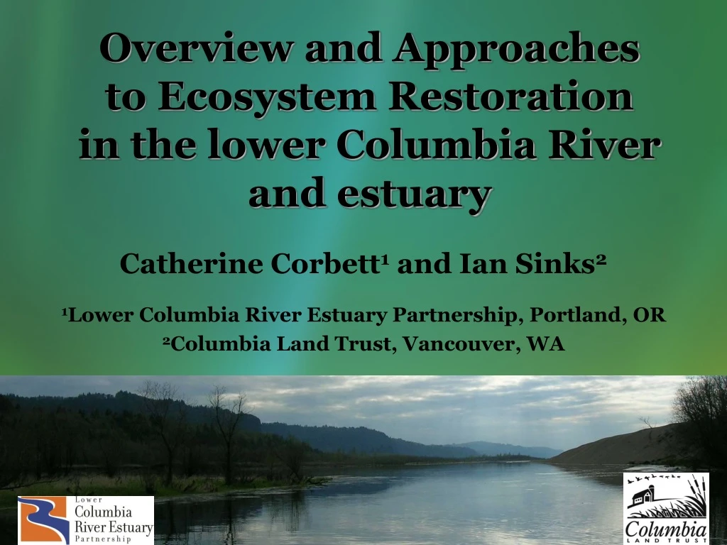
Overview and Approaches to Ecosystem Restoration in the lower Columbia River and estuary. Catherine Corbett 1 and Ian Sinks 2 1 Lower Columbia River Estuary Partnership, Portland, OR 2 Columbia Land Trust, Vancouver, WA. Habitat Loss.

E N D
Overview and Approaches to Ecosystem Restoration in the lower Columbia River and estuary Catherine Corbett1 and Ian Sinks2 1Lower Columbia River Estuary Partnership, Portland, OR 2Columbia Land Trust, Vancouver, WA
Habitat Loss • Significant declines in emergent marsh and tidal swamp habitats • Off-channel habitats cut off • Reduction in flow, access to habitats • Decreases in habitat complexity • Changes in habitat forming processes • Resulting in rearing, spawning, and refuge habitat loss for ESA listed species • Restoration of these habitats should help improve these species’ abundance and sustainability • To the extent possible, we need to restore historic conditions on the ecosystem scale to achieve these goals
RestorationGoals • 16,000 acres to be restored by 2010 • Updated to 19,000 acres by 2014 • From LCREP Management Plan and EPA Strategic Plan • Includes 13,000 acres of wetlands • 3,000 acres of tidal wetlands along lower 46 miles Culvert Removal, Young Creek
Over 160 restoration projects in lower river • LCREP—over 3,236 acres, 57.4 miles of stream • 13,690 acres by major partners • Reconnected > 518 acres of historic floodplain with dike breaches, tidegate removal
Restoration Projects • Most projects have occurred in the floodplain and tributaries Passage Improvements Floodplain Reconnections Habitat Enhancement
Funding Partners • NPCC/BPA: • ca. $4,000,000 (2003-2007) • ca. $6,000,000 (2008-2010) • Pile Dike Program: ca.$3,000,000 (2008-2010) • NOAA– Community Based Restoration: • ca. $666,250 (2004-2007) • ca. $350,000 (2008-2010) • NOAA – Marine Debris Removal: • ca. $100,000 (2008) • EPA – Targeted Watershed: • ca. $700,000 (2003-2005) • Corps of Engineers - Section 536: • ca. $2,000,000 since 2002 • e.g., Crims Island, Julia Butler Hansen Wildlife Refuge, Sandy River Delta, Vancouver Water Resources Center, etc. Implementation Partners Estuary Partnership, Local Governments, Conservation Organizations (e.g., CLT), Watershed Councils, CREST, WA Fish Recovery Board, OWEB
Inter-annual variability in rate & types of projects
Opportunity-driven restoration • Bottoms-up approach, reactive to RFP • Favors projects after concept is already developed, usually meeting a local need • Favors sponsors with capacity to manage projects • Favors project that can leverage funding from multiple sources (e.g., BPA, LCRFRB, OWEB) • has helped promote tributary/floodplain focus • Project significance often assessed on local level, but less clear on landscape scale • To date, restoration efforts have been more fragmented than ecosystem-based • Connected to upstream restoration projects? • Focus on protecting entire life cycle? • Tie to water quality and food web? • Incorporate toxic contaminant sources and pathways?
Program Improvements • Developing science and understanding of the complex system • Experience leads to more informed project designs and decisions • Improved monitoring efforts resulting in better decisions/designs • Can lead to more strategic approach focusing on ecosystem scale restoration • Requires bi-state, central coordinating entity
Tools to inform Restoration • Classification—inc. Bathymetry, landcover • Restoration Prioritization • Shoreline Condition Inventory • Ecosystem Status Monitoring • Action Effectiveness Monitoring • Reference Sites • Cumulative Effects • Meta-analysis • Data Management • Adaptive Management
CRE Ecosystem Classification • Applications: • Prioritizing habitats for protection and restoration • Using landscape metrics • Number of patches • Types of patches • Edge density • Fragstats • McGarigal, K., S. A. Cushman, M. C. Neel, and E. Ene. 2002. Available from UMASS From Burke et al. 2005 presentation @ ERF
Habitat Restoration Prioritization Strategy • Two-tiered - Scales from system-wide to project specific • Tier 1 uses disturbance model (stressors) • provides method for comparing site function and structure at larger scales • Focuses on existing data • refine by updating/ adding new data *PNNL and Estuary Partnership • Tier 2 provides scientific method of comparing specific projects using change in function and likelihood of success
Digital Shoreline Condition Inventory Digitized video of shoreline 605 miles shoreline surveyed: Jul 2005 – Oct 2006 Modified Shoreline: 277 miles Natural Shoreline: 250 miles
Ecosystem condition status and trends Ecosystem Monitoring Project Assess condition of indicators of ecosystem condition & changes over time Estuary Partnership, PNNL, NOAA Fisheries, USGS, UW Action Effectiveness Research Action Effectiveness Monitoring Assess effectiveness of individual restoration projects Estuary Partnership, CREST, NOAA Fisheries, CLT, Scappoose Bay Watershed Council, others Reference Sites Characterize conditions of various habitats to use as “targets” for restoration actions Estuary Partnership, PNNL, CREST Cumulative Effects of Restoration Assess effects of restoration on ecosystem-wide basis USACE, PNNL, NOAA Fisheries, CLT, CREST and others Critical Uncertainties Research Types of Monitoring/Research
Ecosystem Monitoring Project • Estuary Partnership , NOAA, USGS, PNNL—funded by BPA • Coordinated Habitat, Fish, and Prey Monitoring: • Vegetation monitoring (% cover along transects, species list, elevation) • Water quality (data loggers) and sediment (grain size along transects) • Fish sampling (species richness, abundance, CPUE, stock id, length, weight, stomach contents, otoliths for growth rates, marked/unmarked) • Fish prey (taxonomy, abundance, biomass, terrestrial versus aquatic origin)
Action Effectiveness Monitoring (AEM) • Research to determine effects of an action or suite of actions on fish performance and/or habitat conditions • Assess ecosystem benefits and uncertainties affecting restoration success • Support adaptive management of restoration by regional partners
Coordinated Regional Effort AEM for individual restoration projects • NOAA Fisheries (multiple sites) • CREST, Columbia Land Trust , Scappoose Bay Watershed Council, Ash Creek Forest Management, Parametrix • Coordinated by the Estuary Partnership Cumulative Effects Study • Measuring hydrology, channel morphology, vegetation, fish presence and community structure, and flux of nutrients and organic matter • Developing monitoring protocols (Roegner et al. 2008) • Reference Site Study • Measuring hydrology, channel morphology, vegetation, elevation profiles, and sediment accretion • Coordination to ensure: • Data are comparable across sites and time for similar types of actions and habitats • Results are scalable
Sitka Spruce Swamp Reference Sites Study • Goal - use standard monitoring protocols to assess structure of suite of tidal freshwater wetland habitats • use these as an indicator of function and condition • Provide a template of patterns and development rates that can be expected over time at restored sites • Provide an endpoint of potential structure & function of restoration actions • ~41 sites – > 4 sites in each of 8 reaches of estuary • 3 major habitat types—emergent marsh, Sitka spruce swamp, and riparian forested wetland • Cross-over with Ecosystem Monitoring Project
Meta Analysis Results Summary-Are the response variables trending in the desired direction? *Programmatic Report Card
Restoration Site Effectiveness Data Monitoring Sites Reference Sites Restored Sites Performance (Report Cards) Lesson Learned (Meta Analysis) Program Report Card Stakeholders Report New Science Cumulative Effects Research Project RFP Project Proposals Proposed Project Prioritization Analysis Restoration Strategy New Projects
Restoration Project Implementation Integration of the experience of implementers within the estuary, including CLT, CREST, SBWC, USFWS, LCRWC, PC Trask, USFWS, DU and others.
Restoration Project Types Focus on restoring processes and structure that leads to quality habitat and functional benefits • Hydrology • Depth/Sediment Dynamics • Access to Habitat • Complexity/Diversity • Habitat Type • Habitat Impacts within the Estuary: • Significant declines in emergent marsh and tidal swamp habitats • Off-channel habitats cut off • Reduction in flow, access to habitats • Decreases in habitat complexity • Resulting in rearing, spawning, and refuge habitat loss for ESA listed species • Restoration of these habitats should help improve these species’ abundance and sustainability Thom, Wellman (1996)
Restoration of Controlling Processes:Hydrology • Opportunities within historic floodplain • Requires available land (Acquisition) • Land use and community concerns • Technical challenges • Can be costly
Restoration of Controlling Processes: Bathymetry/Hydrology • Creative approached being investigated • Land base is available • Technical challenges • Costly
Restoration of Habitat Access • Partial Reconnection options exist • A compromise between interests • Uncertain benefits – site specific • Offers flexibility and opportunity • Access to Habitat best gained through hydrologic restoration
Restoration of Habitat Structure • Requires willing landowner • Localized, scalable projects • Variety of approaches
Inter-annual variability in rate & types of projects
Issues Faced by Practitioners: Physical and Ecological Constraints • Floodplain Fragmentation • Water Quality • Channel Aggradation • Channel connectivity • Hydromodifications • Invasive Species • Infrastructure
Issues Faced by Practitioners: Practical Concerns • Securing Land • Project Development • Competing Goals • Competing Interests • Funding • Design • Outreach and community support • Permitting • Construction/Implementation • Monitoring and Maintenance
Practical Options for Success • Think long term • Integrate strategic planning and prioritization • Approach projects in phases • Be willing to invest in Development with the understanding that not all project come to fruition • Build flexibility into funding structure • Support technical needs • Community outreach on a regional scale • Community outreach on a local, project-specific scale • Invest in long-term operation and maintenance for restoration projects
Contacts for More Information: Catherine Corbett (503) 226-1565 ext 240, corbett@lcrep.org Ian Sinks (360) 696-0131, isinks@columbialandtrust.org AND: Blaine D. Ebberts (503) 417-7567, blaine.d.ebberts@usace.army.mil Micah Russell (503) 325-0345, mrussell@columbiaestuary.org