Download
1 / 15
170 likes | 281 Views
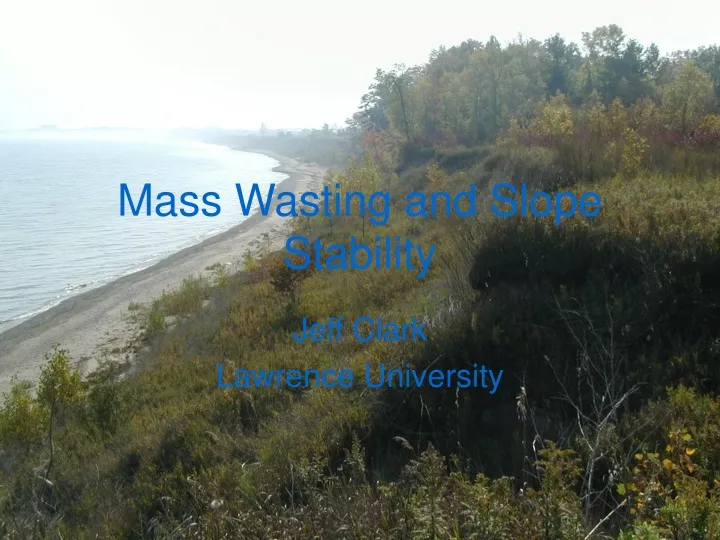
Mass Wasting and Slope Stability. Jeff Clark Lawrence University. Course Details. Physics of the Earth: Surficial Environments Physical and chemical processes that shape Earth’s surface Focus on a few in depth Lecture and lab coupled Moving to integrate “field technology”

E N D
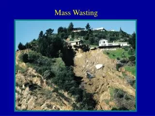
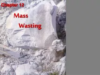
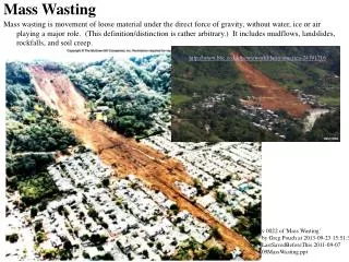
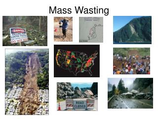
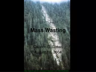
Mass Wasting and Slope Stability Jeff Clark Lawrence University
Course Details • Physics of the Earth: Surficial Environments • Physical and chemical processes that shape Earth’s surface • Focus on a few in depth • Lecture and lab coupled • Moving to integrate “field technology” • Required 300 level course (prereqs) • ~ 9 2/3 weeks (8-9 3-hr* labs) • 6-10 students
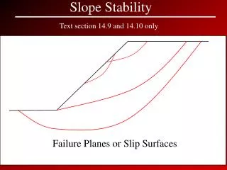
Lab Context • Third and fourth labs of term • depth • Follows basic mapping and soils labs • Lectures on mechanical weathering, slope stability, and mass wasting concurrent. • All labs are group labs • First “formal” lab write up
Goals of Lab • Reinforce and build upon concepts/skills • Soils from previous labs and lectures • Mass wasting and slope stability • Strat columns • New field and lab techniques • In situ strength estimates • Morphometric indices • Aerial rephotography • Sediment size analysis – fine fraction
Goals of Lab • Scientific Habits of Mind • Sound observations to support inferences • Synthesis of multiple observations/data sets • Effective communication • Written report with tables, figures, methods, results, discussion, etc. • Other labs have oral or poster style communication forms
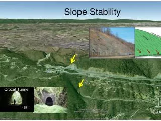
Lab Activities • Create stratigraphic column • Measurements, sampling, and observations • Measure slide morphometry • Use survey skills and identify slide features • Map present shoreline and cliff • Relate to historic shoreline position
Top 5m of strat column • Describe color, texture • Measure strength • Sample From GeoTest
Mophometric Index D/L Crozier, 1973; reprinted in Ritter, Kotchel and Miller, 2002
Mophometric Index D/L Crozier, 1973; reprinted in Ritter, Kotchel and Miller, 2002
Second Week • Determine rates of retreat – GIS • Hydrometer analysis • Correlate with strength • Moisture content? • Revisit site? • Compile report
Why does this lab “work” • Multiple clear “textbook” possibilities for failure mechanism • Wave-cut toe, profoundly weak layer, pore water, historic changes in lake level • Several Possible interpretations • Requires synthesis of different types of observations/measurements
Problems • Reports – students need guidance on structure and content • Use background reading article as model? • Data sharing is problematic • Try electronic field forms/notebooks • Students tend to wait until the second week to work on project • Build in credit bearing check points • Too ambitious even for groups • May remove GPS mapping in future