Download
1 / 21
210 likes | 414 Views
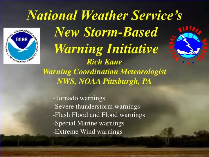
National Weather Service’s New Storm-Based Warning Initiative Rich Kane Warning Coordination Meteorologist NWS, NOAA Pittsburgh, PA. -Tornado warnings -Severe thunderstorm warnings -Flash Flood and Flood warnings -Special Marine warnings -Extreme Wind warnings. County Warning Area

E N D
National Weather Service’s New Storm-Based Warning Initiative Rich Kane Warning Coordination Meteorologist NWS, NOAA Pittsburgh, PA -Tornado warnings -Severe thunderstorm warnings -Flash Flood and Flood warnings -Special Marine warnings -Extreme Wind warnings
County Warning Area NWS Pittsburgh
DEFINITIONS WATCH Conditions are favorable for the weather event in/near the watch area . WARNING The weather event is imminent or occurring in the warned area. SEVERE THUNDERSTORM A storm which produces hail to ¾ of an inch or greater and/or Wind gusts to 58 mph or greater (NOTE: does not include lightning) FLASH FLOOD A flood caused by heavy rain in a short period of time, generally less than 6 hours.
Tornado -A violently rotating column of air extending from the base of a thunderstorm and in contact with the ground Funnel Cloud -A rotating, funnel-shaped cloud extending from a thunderstorm base Downburst - A strong downdraft with an outrush of damaging wind on or near the ground Extreme Wind Warning –Imminent or occurring sustained winds 100 kts (115 MPH) or greater (tropical systems)
Radar Image 08/09/07
Why Storm-Based Warnings? Previous method -4 separate counties warned -Nearly 2400 mi2 -Almost 310,000 people As of October 1, 2007 -more specific -significantly less people and area warned -about 70% less area
Radar Image 08/09/07
What’s new with a Storm-Based Warning -Area hatched is described by the encoded polygon -Direction of Motion added
Benefits of Storm-based Warnings – getting ready for the digital world and advanced dissemination technology -Looking toward the future…Digital Emergency Alert System (DEAS) DEAS will employ “datacasting”. This will allow public video streams, photographs, large files to be distributed to thousands of locations simultaneously -Public can receive warning information on a variety of digital devices …computers …phones …PDAs …TV …Satellite Radio
Will there be challenges? Absolutely! -Media, EMA, other agencies, and the general public (our partners and customers) are in a county-based world -NOAA Weather Radio (NWR), e-mail, alerting systems, pagers -Multiple warnings in the same county - confusing -Mobile users – confusing -Verification – a large challenge! -Media (TV) > Warning “bug” graphics are county based > TV radar displays beginning to overlay warning polygons
Tornado Warning Severe Thunderstorm Warnings
Tornado Warnings Flash Flood Warnings
NOAA All Hazards Support NWS Meteorological Support (wind, temperature, precipitation, etc.) NWS Dispersion Models (HYSPLIT) (nuclear incident, terrorism, hazardous materials event, etc) Radar Satellite Radiosonde Model Forecasts
NOAA HYSPLIT Model Beaver Valley Concentration 1 hr 1200Z – 1800Z 14 Sep 2008 1 4 2 5 3 6
NOAA HYSPLIT Model Beaver Valley Deposition 1 hr 1200Z – 1800Z 14 Sep 2008 1 4 2 5 3 6
N OAA HYSPLIT Trajectory output