Download
1 / 9
90 likes | 221 Views
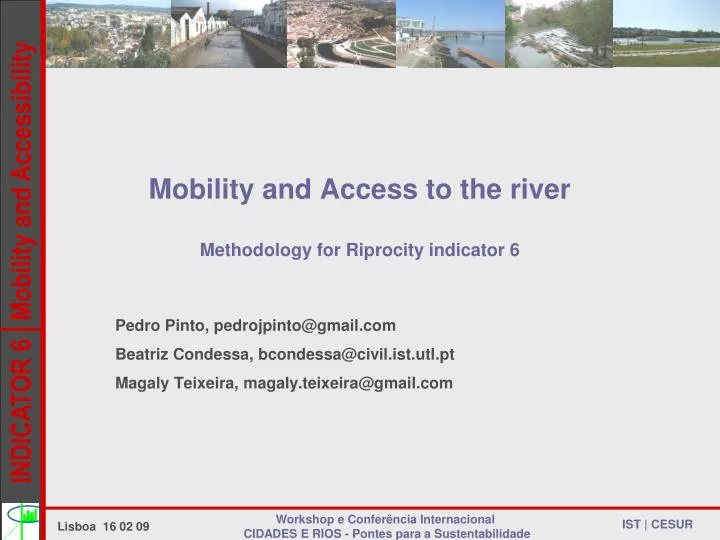
Mobility and Access to the river Methodology for Riprocity indicator 6. Pedro Pinto, pedrojpinto@gmail.com Beatriz Condessa, bcondessa@civil.ist.utl.pt Magaly Teixeira, magaly.teixeira@gmail.com. How to describe and evaluate the social/urban dimension in the city/river relation?

E N D
Mobility and Access to the riverMethodology for Riprocity indicator 6 Pedro Pinto, pedrojpinto@gmail.com Beatriz Condessa, bcondessa@civil.ist.utl.pt Magaly Teixeira, magaly.teixeira@gmail.com Workshop e Conferência Internacional CIDADES E RIOS - Pontes para a Sustentabilidade
How to describe and evaluate the social/urban dimension in the city/river relation? Reviewing previous work done on both the RiProCity and Urbem projects, a set of measurement units were defined, based roughly on the European Common Indicators • Main criteria for selecting indicators and measurements: • should be relevant to the description of the city-river system and its interactions • should be applicable to all cities with rivers Workshop e Conferência Internacional CIDADES E RIOS - Pontes para a Sustentabilidade
INDICATOR NUMBER 6: MOBILITY AND ACCESS TO THE RIVER A set of measurement units were defined, evaluating the city’s performance in: • Spanning the river, so as to minimize the barrier effect it can impose on the city’s mobility patterns (linear density of bridges that allow pedestrian crossing) • Providing sustainable accessibility to the riverfront (existence of public transport system stops within walking distance of the riverfront) Workshop e Conferência Internacional CIDADES E RIOS - Pontes para a Sustentabilidade Lisboa 16 02 09
INDICATOR NUMBER 6: MOBILITY AND ACCESS TO THE RIVER Questions Does the city have enough pedestrian crossings of the river to allow an adequate integration between city and river? Is the riverfront accessible? Headline Indicator: Ease of river crossing and Access to the riverfront Measurement: M1) Ease of pedestrian river crossing M2) Accessibility to the river corridor using public transport Workshop e Conferência Internacional CIDADES E RIOS - Pontes para a Sustentabilidade Lisboa 16 02 09
INDICATOR NUMBER 6: MOBILITY AND ACCESS TO THE RIVER • Ease of pedestrian river crossing Length Average Width Number of pedestrian crossings Footbridges X Bridges with pedestrian crossing - shared M1 = Bridges without pedestrian crossing Workshop e Conferência Internacional CIDADES E RIOS - Pontes para a Sustentabilidade
INDICATOR NUMBER 6: MOBILITY AND ACCESS TO THE RIVER • Ease of pedestrian river crossing Leiria: Number of pedestrian crossings: 7 before Polis / 12 after Number of shared crossings: 5 Before Polis / 6 after Length of urban reach: 4231m Average Width: 14,95m M2 = 0,043 (before Polis) M2 = 0,064 (after Polis) Workshop e Conferência Internacional CIDADES E RIOS - Pontes para a Sustentabilidade
INDICATOR NUMBER 6: MOBILITY AND ACCESS TO THE RIVER ii) Accessibility to the river corridor using public transport 300 m River Corridor Number of stops within walking distance 300 m M2 = 300 m Length Workshop e Conferência Internacional CIDADES E RIOS - Pontes para a Sustentabilidade
INDICATOR NUMBER 6: MOBILITY AND ACCESS TO THE RIVER ii) Accessibility to the river corridor using public transport Leiria: Number of stops on Mobilis lines: 17 on Mobilis 1 + 17 on Mobilis 2 = 34 stops within walking distance Length of urban reach: 4.2 Km M2 = 8,1 stops/Km Workshop e Conferência Internacional CIDADES E RIOS - Pontes para a Sustentabilidade
INDICATOR NUMBER 6: MOBILITY AND ACCESS TO THE RIVER • Questions to address/Future Developments • Ease of pedestrian river crossing • calculation of theriver crossings could be substituted by the length of each bridge span over the river length, instead of taking into account the average width of the river ? • ii)Accessibility to the river corridor using public transport • single walking distance or if different walking distances should be considered for different modes of transport? • Would the it work better as a ratio between the total area within walking distance of a stop that fell within the river corridor and the latter’s total area ? Workshop e Conferência Internacional CIDADES E RIOS - Pontes para a Sustentabilidade