Download
1 / 54
540 likes | 671 Views
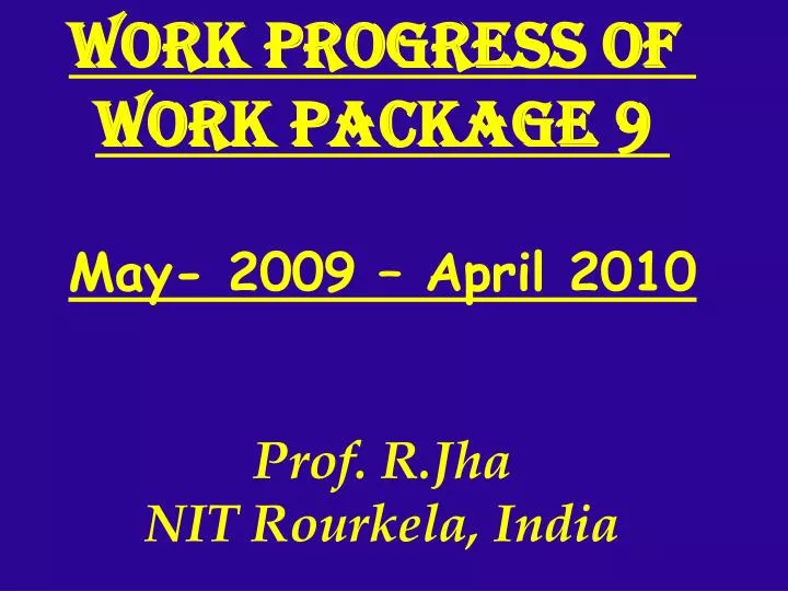
Work progress of Work Package 9 May- 2009 – April 2010 Prof. R.Jha NIT Rourkela, India. defined pilot areas in India Betwa sub-basin (Ganga) Punpun sub-basin (Ganga) Tel sub-basin (Mahanadi) Chambal basin (Ganga)* Ken Basin (Ganga)*. DATA COLLECTION AND ANALYSIS. DROUGHT MAP OF INDIA

E N D
Work progress of Work Package 9 May- 2009 – April 2010 Prof. R.Jha NIT Rourkela, India
defined pilot areas in India • Betwa sub-basin (Ganga) • Punpun sub-basin (Ganga) • Tel sub-basin (Mahanadi) • Chambal basin (Ganga)* • Ken Basin (Ganga)*
DATA COLLECTION AND ANALYSIS DROUGHT MAP OF INDIA SHAPE FILE (*.shp) OF ALL THE BASIN 100YRS DAILY RAINFALL DATA OF BETWA BASIN, TEL AND CHAMBAL BASINS COLLECTED AND BEING ANALYSED LAND USE, DEM, TOPOGRAPHIC MAP OF BETWA AND CHAMBAL BASIN
SOIL MAP OF INDIA • FLOW DATA FOR THE YEAR 2000 & 2009 • SOIL MOISTURE MAP OF INDIA • 10 YRS DAILY RAINFALL DATA OF STUDY AREA IN GANGA BASIN IS BEING PROCIRED • HYDROLOGICAL METHODS USED • PROPOSED STUDY
Case studies Input data collection & GIS analysis