Download
1 / 21
210 likes | 353 Views
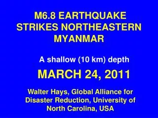
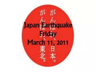
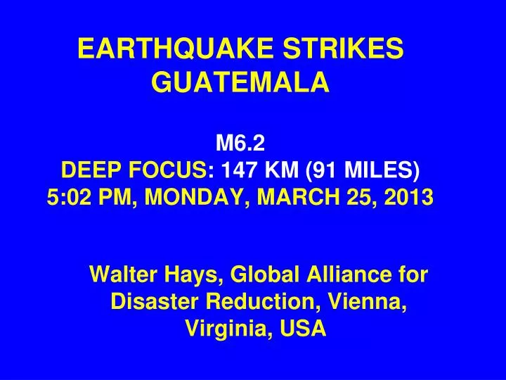
EARTHQUAKE STRIKES GUATEMALA M6.2 DEEP FOCUS : 147 KM (91 MILES) 5:02 PM, MONDAY, MARCH 25, 2013. Walter Hays, Global Alliance for Disaster Reduction, Vienna, Virginia, USA . GUATEMALA EARTHQUAKE: MARCH 25, 2013. LOOKING AT THE SEISMOGRAM. PEOPLE OUTSIDE THEIR BUILDINGS.

E N D
EARTHQUAKE STRIKES GUATEMALAM6.2DEEP FOCUS: 147 KM (91 MILES)5:02 PM, MONDAY, MARCH 25, 2013 Walter Hays, Global Alliance for Disaster Reduction, Vienna, Virginia, USA
THE DEEP FOCAL DEPTH (147 KM) LESSENED THE DAMAGE • Residents were alarmed by the ground shaking, , , , But • Unlike the November 7, 2012 quake and the Feb. 4, 1976 quake, only light damage this time, and no deaths reported yet
N 7.4 EARTHQUAKE STRIKES SAN MARCOS STATEGUATEMALA10:35 AM LOCAL TIMEWEDNESDAY, NOVEMBER 7, 2012
LOCATION • The quake, centered about 15 miles from the coastal city of Champerico occurred at a depth of 45 km (26 miles), and was felt throughout Central America and as far north as Mexico City.
REGIONAL SEISMICITY AND PLATE TECTONICS A TSUNAMI WARNING WAS CONSIDERED AND WITHDRAWN
ZONE OF NORTH AMERICAN, COCOS, AND CARIBBEAN PLATE INTERACTION
INITIAL REPORTS • At least 52 dead (with more likely), several hundred injured, and 125,000 without power.
THE FEBRUARY 4, 1976 GUATEMALA EARTHQUAKE DISASTERM7.6Shallow Depth 23,000 DEAD