Download
1 / 11
110 likes | 113 Views
This handbook provides recommendations on the siting of sensitive land uses, such as residences and schools, with a focus on protecting vulnerable populations, considering air quality issues, and promoting consultation between land use and air agencies.

E N D
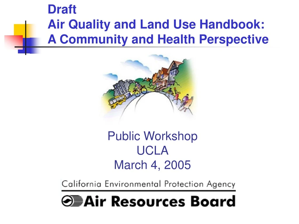
DraftAir Quality and Land Use Handbook: A Community and Health Perspective Public Workshop UCLA March 4, 2005
Presentation Outline • Background • Key Elements • Siting of Sensitive Land Uses • Recommendations
Background • ARB Policies and Actions for EJ (2001) • Identify cumulative air pollution impacts associated with land use planning and siting • Work with local agencies on ways to reduce impacts • Meetings with Stakeholders on draft Handbook (2002-2004) • Study Session (2004) • New draft (February 2005) • Draws on Stakeholders and Study Session comments
Key Elements • Offer recommendations on siting of residences, schools, and other “sensitive” land uses • Provide information on air quality issues related to land use • Promote consideration of localized air impacts in land use processes • Encourage land use agencies to consult air agencies
Siting of “Sensitive” Land Uses • Protect children, elderly, and those vulnerable due to illness • Provide available health and distance-related information to land use agencies • Focus on siting new sensitive land uses • Distance recommendations made where possible
Recommendations • Specific Separation Recommendations • High traffic freeways and roads • Distribution centers • Rail yards • Chrome plating facilities • Dry cleaners • Large gas stations • General Recommendations • Ports • Refineries • Sources of dust problems and odor complaints
Considerations for Selecting Categories • Diesel particulate emissions a priority • Toxicity of emissions • Available health risk information • Other factors • large emission sources • multiple pollutants • odors
Cancer Risk(Excess Cancer Risk Per Million Population) • California urban regional air pollution cancer risk ranges from approximately 500 to 1000 • Diesel contributes 70% of known air pollution cancer risk • Handbook considers added risk near freeways and facilities • Risk drops rapidly with distance and approaches background levels • Upper-end of range represents highest risk scenario closest to source
Available Risk Information*(Excess Cancer Risk Per Million Population) • Freeways: 300 - 1700 • Rail Yards: up to 500 • Chrome Platers: 10 to 100 • Dry Cleaners: 15 to 150 • Gas Stations: less than 10 to 120 • Distribution Centers: up to 500** *Range reflects combination of risk and distance **Analysis based on refrigerator trucks
Other Factors Considered • Ports • Risk assessments underway • Major source of diesel emissions • Other goods movement facilities with large diesel emissions such as rail yards have high risk • Refineries • Large air pollution source • Risk assessment indicates low cancer risk, but limited data on non-cancer effects • Non-routine emissions and odors