Download
1 / 16
160 likes | 177 Views
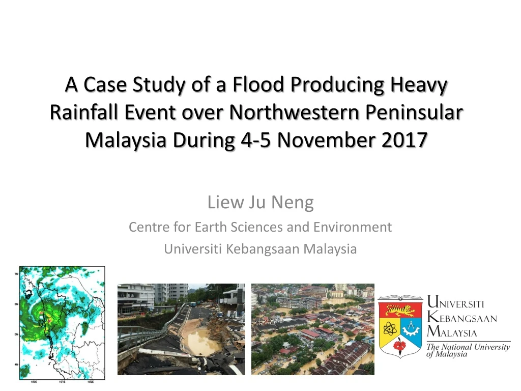
A Case Study of a Flood Producing Heavy Rainfall Event over Northwestern Peninsular Malaysia During 4-5 November 2017. Liew Ju Neng Centre for Earth Sciences and Environment Universiti Kebangsaan Malaysia. Introduction. Timing: 4-5 Nov 2017 Evacuated >10000 people Death toll: 7 death

E N D
A Case Study of a Flood Producing Heavy Rainfall Event over Northwestern Peninsular Malaysia During 4-5 November 2017 Liew Ju Neng Centre for Earth Sciences and Environment UniversitiKebangsaan Malaysia
Introduction Timing: 4-5 Nov 2017 Evacuated >10000 people Death toll: 7 death Cost of damage >RM 300mil
The daily rainfall map. 4th Nov 2017 5th Nov 2017 • 4th – Consistently larger rainfall over the northern part. • Station BanganBuaya (south) recorded largest rainfall. • This large value at BanganBuaya extended to 5thNov 2017
The stations recorded rainfall • First look at the hourly rainfall of all the stations. • The rainfall episode lasted about a day from the noon of 4th to morning 5th November 2017. • The episode has 2 distinctive rainfall peaks, one at the night o 4th and the other during the morning of 5th. • The largest recorded hourly rainfall > 100mm at Bagan Buaya. • During the episode, most of the stations has recorded hourly rain rate of 20-30 mm/hr.
Comparing Satellite Data to Station records • Satellite product is in grids and the values are representation of the grid averaged. Comparing the gridded product and the station scale record is difficult. • However, generally the satellite data under-estimated the rainfall amount. Generally it gives only 30-40% of those recorded at the stations (>200mm on 4th November 2017). • Nevertheless, the spatial variations suggested that the rainfall is larger over the northern region.
How was the weather forecast performs during the event 4th Nov Daily Rainfall as Forecasted by GFS initialized at 00 UTC 3 November 2017 5th Nov Daily Rainfall as Forecasted by GFS initialized at 00 UTC 3 November 2017 • GFS forecast initialized on the 00 UTC 3 November was examined. • Given the coarse resolution the GFS was not able to forecast the location of the heavy rainfall correctly. • However, it did forecasted the occurrence of heavy rainfall over the region despite much lower intensity compare to the station records. • For 4th and 5th November daily rainfall, the centre of forecasted rainfall appeared slightly northward and southward respectively.
Synoptic winds overview (850 hPa) 00 UTC 2 Nov 2017 00 UTC 3 Nov 2017 Typhoon Damrey • The propagation of the low pressure system from Southern China Sea and the associated convergence fuel the moisture into the system. • Interaction with the remnant of Typhoon Damrey on 4th Nov intensify the vorticity and the system remain quasi-stationery. 00 UTC 4 Nov 2017 00 UTC 5 Nov 2017
Figure above shows general comparison between station rainfall, satellite products as well as the GFS forecast over the Penang areas. • Generally both satellite and GFS forecast underestimate the station records, despite they consistently picked up the double peaks characteristics of the heavy rainfall episode.
Remarks • The heavy rainfall episode is associated to a westward propagating low pressure cyclonic circulation. • Both the satellite and GFS forecast produced much lower rainfall intensity compared to the stations record. • This suggests that the synoptic condition may only partially explained the rainfall system. The very heavy intensity could be locally produced. This needs to be verified with numerical experiments. • Forecasting heavy rainfall event, particularly the rainfall intensity is known to be of great challenge. • In this case, the forecast correctly calls for the occurrence of heavy rainfall event, but it fails in pin-point the right location and intensity. • In fact, in most cases, the forecast would generally be more skillful in predicting the occurrence but have difficulties in the location and the intensity. • Disaster preparation should take this characteristics in to consideration for better planning. • Numerical experiments may provide further insight to the rainfall process.
Numerical Experiment (current status) D1 D2 D3 D4 Nested Domain for D1 – 27km, D2 – 9km, D3 – 3km, D4 – 1km
WRF Configuration • Initial and Boundary Conditions: ERA INTERIM • Physics for Domain 3 & 4 • Cumulus Option – No Cumulus Parameterization • Microphysics Option – WRF Single-Moment (WSM) 3-class simple ice scheme • Surface Layer Option - Monin-Obukhov Similarity scheme • Land Surface Option - Thermal Diffusion scheme • Shortwave Radiation Option - Dudhia scheme • Longwave Radiation Option – RRTM scheme: Rapid Radiative Transfer Model. • Boundary Layer Option – YSU Scheme
12 hour rainfall for Domain 3 4NOV2017_8am – 4NOV2017_8pm 4NOV2017_8pm – 5NOV2017_8am 5NOV2017_8am – 4NOV2017_8pm
12 hour rainfall for Domain 4 4NOV2017_8am – 4NOV2017_8pm 4NOV2017_8pm – 5NOV2017_8am 5NOV2017_8am – 4NOV2017_8pm
Remarks • Still experimenting for the best model configuration. • Questions of interest which require further analysis: • How is the quality of the simulations affected by model resolutions and moisture schemes? • How is the local topography influence the rainfall intensity? • Where does the system obtain its moisture from? • How does the Typhoon Damrey affected the events?