Download
1 / 23
230 likes | 430 Views
Emergency Management (EM) and Geographic Information Systems (GIS). Sophi Beym, Dine Emergency Manager, Bishop Paiute Tribe State Hazard Mitigation Officer, New Mexico. Four phases of Emergency Management. Visualize Vulnerablity. Facts

E N D
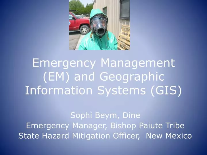
Emergency Management (EM) and Geographic Information Systems (GIS) Sophi Beym, Dine Emergency Manager, Bishop Paiute Tribe State Hazard Mitigation Officer, New Mexico
Visualize Vulnerablity • Facts • All hazards have an associated set of impact-causing conditions • Impact-causing conditions cause an unacceptable threat to life and property • Not all threats to life and property are termed unacceptable because people must accept some risk for living where they do
Bishop Paiute Tribe is one of five Tribes in the Inyo County, California.
Create awareness of risk Examples of GIS in EM • Dam Inundation Analysis • Chemical Risk Analysis • Gas Station • Residential propane • Simple evacuation routes • Tribal building fire drills • Analysis of soil sampling to detect possible contaminants
Maps for First Responders • Maps can show locations • Special Needs • Elders • Families with small children • Other tools related to this • Reverse 911 system • Rural Addressing
Location • Resources • Equipment, people, vendors • Shelter locations • Mapping allows a community to establish Short term / Long-term locations AWAY from known hazards • Evacuation routes • Mapping allows a community to develop routes AWAY from known hazards BEFORE an incident
Conclusion • Geographic Information Systems (GIS) has become user friendly • Used with EM concepts it can support life and property safety • ArcMap is available to Tribes free of charge • Training is available to Tribes without charge • Programs at Tribal colleges promote and teach GIS
Resources • FEMA HAZUS software • http://www.fema.gov/plan/prevent/hazus/ • Emergency Management Institute classes • http://www.fema.gov/plan/prevent/hazus/hz_training.shtm
Resources • Geographical Informational Services • Due to the Bureau of Indian Affairs´ annual payment to ESRI, BIA and federally recognized tribal offices can obtain specific ESRI products through the National Geospatial Resource Center (NGRC) at no additional cost. The NGRC administers the configuration, distribution, and support of the ESRI products related to the Agreement. BIA and tribal offices can submit an application to become BIA "customers" of the Agreement. • Help Desk Phone: 877-293-9494ESRI Licensing, Byron Yepa: 505-563-5353Nat'l Indian Programs Training Center: 505-563-5400Nat'l Indian Programs Training Center Fax: 505-563-5419Peggy Napoleon: 888-377-4575, extension 1-1993 • ESRI Federal Customer Service Rep. E-mail: mpenn@esri.com Fax: 909-307-3083 • LINKI: http://www.esri.com/industries/federal/bia/
Acknowledgements • Bishop Paiute Tribe, Bishop, CA • New Mexico Department of Homeland Security and Emergency Management (NM DHSEM) • Bonnie Gallahan, USGS/FGDC • Brad Heegel, Augustana College, SD • Robert Holden, NCAI
Dedication This presentation is dedicated to my Father, Larry Begay Strongest, bravest, wisest Warrior I know…
Contact Information Sophi Beym • New Mexico State Hazard Mitigation Officer • SophiaA.Beym@state.nm.us • Sophi.Beym@gmail.com • 505.476.9607