Download
1 / 18
180 likes | 271 Views
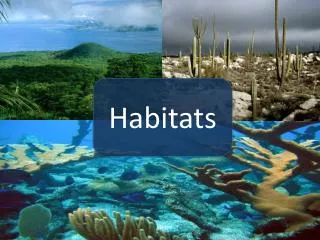
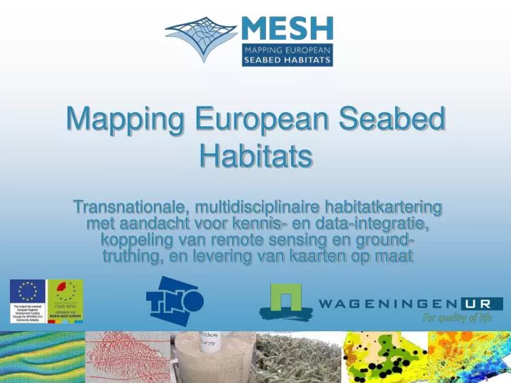
Mapping European Seabed Habitats. Transnationale, multidisciplinaire habitatkartering met aandacht voor kennis- en data-integratie, koppeling van remote sensing en ground-truthing, en levering van kaarten op maat. MESH partners. MESH is een internationaal marien karteerprogramma.

E N D
Mapping European Seabed Habitats Transnationale, multidisciplinaire habitatkartering met aandacht voor kennis- en data-integratie, koppeling van remote sensing en ground-truthing, en levering van kaarten op maat
MESH is een internationaal marien karteerprogramma. Het doel van MESH is de vervaardiging van zeebodemhabitatkaarten voor noordwest Europa en de ontwikkeling van internationale standaards en protocollen voor zeebodemkarteerstudies. Beoogde eindproducten zijn een WebGIS, richtlijnen voor mariene habitatkartering en case histories. Wat is MESH?
www.searchmesh.net Quick Link ‘Mapping website’ Actie 1: Habitatkaarten genereren in GIS
Habitats, modellen, fysische parameters, beelden Actie 1: Habitatkaarten genereren in GIS
Van één product op papier naar digitale flexibiliteit Actie 1: Habitatkaarten genereren in GIS van oud naar nieuw
Review van state-of-the-art: remote sensing en ground-truthing Actie 2: Standaards en protocollen ontwikkelen
Database van signaturen Actie 2: Standaards en protocollen ontwikkelen
D50-sand D90 D10 Actie 2: Standaards en protocollen ontwikkelen kaarten op maat
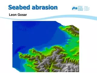
Bodemdynamiek is onzekerheidsfactor Total migration PR6NE 1991-2002 340 crests troughs 300 260 dx [m] 220 180 140 100 60 0 10 20 30 40 50 60 Point number (SW to NO) Actie 2: Standaards en protocollen ontwikkelen betrouwbaarheid
Kwantificeren specifiek voor habitat-eindgebruiker Actie 2: Standaards en protocollen ontwikkelen betrouwbaarheid
54 55 59 57 Actie 3: Standaards en protocollen testen crest swale
Weinig biologische data Veel fysische data hulp bij interpoleren als relaties tussen biotiek en abiotiek worden gekwantificeerd Actie 4: Voorspellend modelleren
Vertalen naar EUNIS code Gebiedsdekkende kaart niet informatief voor Nederland Actie 4: Voorspellend modelleren
www.hornsrev.dk Actie 5: Toepasbaarheid van habitatkaarten demonstreren
Nationale workshops en final conference (Dublin) Actie 6: Resultaten communiceren
Mark van Koningsveld en Mindert de Vries (WL | Delft Hydraulics) Vera Van Lancker (Universiteit Gent) Delft Cluster (Project ‘Duurzame ontwikkeling Noordzee en kust’) Ada van Schaik, Roel Savert en Mariëtte Jongen Dank aan