Download
1 / 50
540 likes | 799 Views
Weather and Climate. GEOG 1112- Lecture 6. Chapter 3: Introduction to the Atmosphere. McKnight’s Physical Geography : A Landscape Appreciation, Tenth Edition, Hess. Image courtesy of cimss.ssec.wisc.edu. Introduction to the Atmosphere. Size of Earth’s Atmosphere

E N D
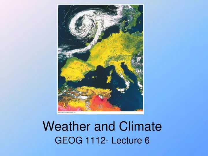
Weather and Climate GEOG 1112- Lecture 6
Chapter 3: Introduction to the Atmosphere McKnight’s Physical Geography: A Landscape Appreciation, Tenth Edition, Hess Image courtesy of cimss.ssec.wisc.edu
Introduction to the Atmosphere • Size of Earth’s Atmosphere • Composition of the Atmosphere • Vertical Structure of the Atmosphere • Human-Induced Atmospheric Change • Depletion of the Ozone Layer • Weather and Climate
Weather and Climate • Weather—short-term atmospheric conditions for a specific area • Meteorology • Climate—aggregate long-term weather conditions • Climatology • Weather versus climate • Distinction between continental and maritime climates • Seattle, WA, and Fargo, ND, have vastly different climates • Maritime climates typically much more humid
Controls of Weather and Climate • Latitude • Land and Water Distribution • Ocean Currents • Altitude • Landform Barriers • Human Activities • Natural Events
Controls of Weather and Climate • Latitude
Land and Water Distribution • Maritime temperatures: • Coastal regions have smaller daily and annual temperature ranges • Continental temperatures: • Inland regions have greater daily and annual temperature ranges
Weather and Climate • General circulation of the atmosphere • Semipermanent wind pattern on Earth • General circulation of the oceans • Oceanic broad-scale semi-permanent motions Figure 3-17
Controls of Weather and Climate • Ocean Currents • Warm & cold currents
Controls of Weather and Climate • Altitude • Environmental lapse rate • Pressure drop
Vertical Distribution of Temperature • Normal (Environmental) Lapse Rate • 6.5° C / 1000 m • 3.6° F / 1000’
Surface and Air Temperature • High-Mountain Environments • Reduced air pressurereduced oxygen to lungs • Fewer air moleculessun’s rays stronger • Less CO2 and water vaporreduced greenhouse effect
Surface and Air Temperature Temperature Inversion: reversal of normal temperature pattern so that air temperature increases with altitude
Inversions and Smog • Temperature inversion: reverse of the normal pattern of vertical distribution of air temperature; in the case of inversion, temperature increases rather than decreases with increasing altitude
Weather and Climate • Topographic barriers • Can drastically alter climate due to orographic change in wind patterns Figure 3-20
Controls of Weather and Climate • Landform Barriers • Blocks air movement • Orographic Effect
Weather and Climate • Storms • Control weather and climate through atmospheric modification • Some storms prominent enough to affect climate Figure 3-21
Weather and Climate • Coriolis Effect (Coriolis Force) • Rotation of Earth modifies path of forward motion over great distances • Discovered by GaspardCoriolis • Causes a rightward turn to motion in the Northern Hemisphere • Causes a leftward turn in the Southern Hemisphere • Deflection greatest at the poles; zero at the equator • Proportional to the speed of the object • Has no influence on speed
Weather and Climate Figure 3-22
Controls of Weather and Climate • Human Activities • Urban Heat Island • Fossil fuels • Deforestation • Drainage • Water impoundments • Weather modification
Surface and Air Temperature The Urban Heat Island City centers tend to be several degrees warmer than surrounding suburbs and countryside. Urban Heat Island: area at the center of a city that has a higher temperature than surrounding regions
Controls of Weather and Climate • Natural Events • Volcano eruptions • Dust storms • Forest fire • Asteroid strike
LAMPPOST • Latitude and Seasonality • Altitude • Maritime Influence & Continentality • Pressure Systems • Prevailing Winds • Ocean Currents • Storms • Topography Fahrer, Chuck, and Dan Harris. 2004. LAMPPOST: A Mnemonic Device for Teaching Climate Variables. Journal of Geography 103(2):86-90.
World Patterns of Air Temperature Factors Controlling Air Temperature Patterns Three main factors explaining world isotherm patterns: 1. Latitude affects annual insolation, temperatures, and seasonal temperature variation 2. Maritime-continental contrast 3. Elevation
World Patterns of Air Temperature Air temperature maps use isotherms to show centers of high and low temperatures, and temperature gradients Isotherm: line on a map drawn through all points with the same temperature Temperature gradient: rate of temperature change along a selected line or direction
World Patterns of Air Temperature World Air Temperature Patterns for January and July • Patterns to note: • Large land masses in Arctic and subarctic zones are extremely cold in winter—colder than adjacent oceans • Ice and snow reflect insolation • Temperatures decrease from equator to poles • Areas of permanent ice and snow are always intensely cold • High elevation • Snow and ice reflect insolation
World Patterns of Air Temperature World Air Temperature Patterns for January and July • Patterns to note: • Highlands are colder than surrounding lowlands • Temperatures in equatorial regions change little from season to season • Isotherms make large shifts poleward over continents in summer, while isotherms over oceans shift less • Continents heat/cool faster than oceans
Isotherm: line drawn on a map to connect all points with the same temperature January Temperature Distribution
Which of the following is NOT a control on weather and climate? • Latitude • Longitude • Land and Water Distribution • Ocean Currents • Altitude • Landform Barriers • Human Activities • Natural Events
1) The main surface currents in the major ocean basins assist in the heat transfer around the world by moving warm water from the NorthernHemisphere to the Southern Hemisphere. cool water from the poles to the tropics. warm water from the poles to the tropics. cool water from the tropics to the poles. warm water from the Southern Hemisphere to the Northern Hemisphere. Figure 3-18
The main surface currents in the major ocean basins assist in the heat transfer around the world by moving • warm water from the NorthernHemisphere to the Southern Hemisphere. • cool water from the poles to the tropics. • warm water from the poles to the tropics. • cool water from the tropics to the poles. • warm water from the Southern Hemisphere to the Northern Hemisphere.
1) The main surface currents in the major ocean basins assist in the heat transfer around the world by moving warm water from the Northern Hemisphere to the Southern Hemisphere. cool water from the poles to the tropics. warm water from the poles to the tropics. cool water from the tropics to the poles. warm water from the Southern Hemisphere to the Northern Hemisphere. Figure 3-18 Explanation: Northerly ocean currents from the poles to the tropics transport cooler water from higher latitudes to lower latitudes.
2) An example of climate (versus weather) for a given area is the air temperature reached 78°F today. rain showers are predicted for next Saturday. the record high temperature is 122°F. the average rainfall in April is 15 inches. thunderstorms occurred last Mother’s day.
An example of climate (versus weather) for a given area is • the air temperature reached 78°F today. • rain showers are predicted for next Saturday. • the record high temperature is 122°F. • the average rainfall in April is 15 inches. • thunderstorms occurred last Mother’s day.
2) An example of climate (versus weather) for a given area is the air temperature reached 78°F today. rain showers are predicted for next Saturday. the record high temperature is 122°F. the average rainfall in April is 15 inches. thunderstorms occurred last Mother’s day. Explanation: Climate describes weather conditions over a long period. So, an average weather condition over a span of many months would be a climate condition
10) Los Angeles, California and Dallas, Texas have vastly different climates, despite existing at the same latitude. What causes the climate difference? Proximity to a desert Sun is more directly overhead in Dallas Los Angeles is near mountains Dallas is in the Plains Dallas is continental; Los Angeles is maritime.
What percentage of your current points would you like to wager on the next question? • 0% 25% 50% 75% 100%
Los Angeles, California and Dallas, Texas have vastly different climates, despite existing at the same latitude. What causes the climate difference? • Proximity to a desert • Sun is more directly overhead in Dallas • Los Angeles is near mountains • Dallas is in the Plains • Dallas is continental; Los Angeles is maritime.
10) Los Angeles, California and Dallas, Texas have vastly different climates, despite existing at the same latitude. What causes the climate difference? Proximity to a desert Sun is more directly overhead in Dallas Los Angeles is near mountains Dallas is in the Plains Dallas is continental; Los Angeles is maritime. Explanation: LA’s proximity to water allows for a less variable climate in terms of temperature. In general, maritime regions have a less volatile climate than continental regions.