Download
1 / 22
220 likes | 325 Views
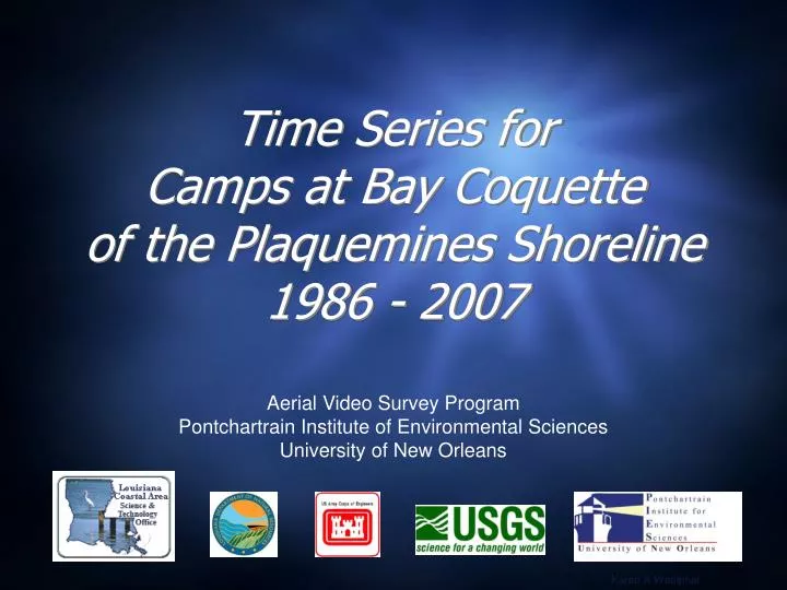
Time Series for Camps at Bay Coquette of the Plaquemines Shoreline 1986 - 2007. Aerial Video Survey Program Pontchartrain Institute of Environmental Sciences University of New Orleans. Karen A Westphal.

E N D
Time Series forCamps at Bay Coquetteof the Plaquemines Shoreline1986 - 2007 Aerial Video Survey Program Pontchartrain Institute of Environmental Sciences University of New Orleans Karen A Westphal
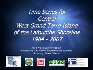
The Aerial Video Survey Program has been acquiring photography and video of the northern Gulf of Mexico shoreline since 1984. Oblique aerial photography does not produce exact matches due to variations in altitude, camera angle and distance from the shore (and different photographers). Photos that matched well were scaled and aligned to illustrate the landscape changes that have taken place between time periods. Occasionally a pointer or symbol was added to assist with the visual comparison.
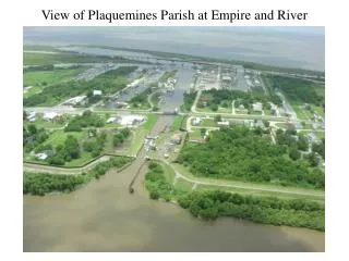
Location of Bay Coquette, Louisiana The camps at Bay Coquette are in BICM region “Modern Delta” and BICM segment 48 “Scofield”
1986 • 29º13’56” / 89º31’22” - view to north July 23, 1986
1988 pre-Hurricane Gilbert 29º13’56” / 89º31’22” - view to north July 14, 1988
1988 post-Hurricane Gilbert • 29º13’56” / 89º31’22” - view to north October 12, 1988
1990 • 29º13’56” / 89º31’22” - view to north June 25, 1990
1992 pre-Hurricane Andrew • 29º13’56” / 89º31’22” - view to north July 9, 1992
1992 post-Hurricane Andrew • 29º13’56” / 89º31’22” - view to north August 30, 1992
1993 • 29º13’56” / 89º31’22” - view to north June 16, 1993
1994 • 29º13’56” / 89º31’22” - view to north July 26, 1994
1996 • 29º13’56” / 89º31’22” - view to north July 17, 1996
1999 • 29º13’56” / 89º31’22” - view to north August 27, 1999
2001 • 29º13’56” / 89º31’22” - view to north June 14, 2001
2002 post-Hurricane Lili • 29º13’56” / 89º31’22” - view to north October 5, 2002
2004 pre-Hurricane Ivan • 29º13’56” / 89º31’22” - view to north September 13, 2004
2004 post-Hurricane Ivan • 29º13’56” / 89º31’22” - view to north September 18, 2004
2005 post-Hurricane Katrina/Rita • 29º13’56” / 89º31’22” - view to north September 30, 2005
2007 - February • 29º13’56” / 89º31’22” - view to north February 26, 2007
2007 - April • 29º13’56” / 89º31’22” - view to north(~43º) April 30, 2007
21 Years • 1986 • 2007
Relevant Coastal Restoration Projects • None listed http://dnr.louisiana.gov/crm/coastres/projectlist.asp