Download
1 / 4
40 likes | 140 Views
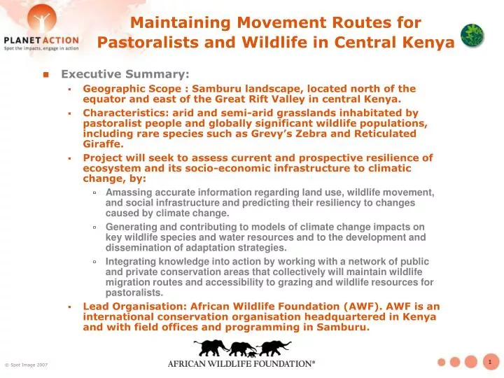
Maintaining Movement Routes for Pastoralists and Wildlife in Central Kenya. Executive Summary: Geographic Scope : Samburu landscape, located north of the equator and east of the Great Rift Valley in central Kenya.

E N D
Maintaining Movement Routes for Pastoralists and Wildlife in Central Kenya • Executive Summary: • Geographic Scope : Samburu landscape, located north of the equator and east of the Great Rift Valley in central Kenya. • Characteristics: arid and semi-arid grasslands inhabitated by pastoralist people and globally significant wildlife populations, including rare species such as Grevy’s Zebra and Reticulated Giraffe. • Project will seek to assess current and prospective resilience of ecosystem and its socio-economic infrastructure to climatic change, by: • Amassing accurate information regarding land use, wildlife movement, and social infrastructure and predicting their resiliency to changes caused by climate change. • Generating and contributing to models of climate change impacts on key wildlife species and water resources and to the development and dissemination of adaptation strategies. • Integrating knowledge into action by working with a network of public and private conservation areas that collectively will maintain wildlife migration routes and accessibility to grazing and wildlife resources for pastoralists. • Lead Organisation: African Wildlife Foundation (AWF). AWF is an international conservation organisation headquartered in Kenya and with field offices and programming in Samburu.
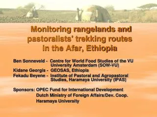
Maintaining Movement Routes for Pastoralists and Wildlife in Central Kenya • Context Semi-arid/arid lands shared by thousands of pastoralists residents & bountiful wildlife populations, but… little is known of the current and prospective resilience of the ecosystem and its socio-economic infrastructure to climatic changes. • Mission AWF’s mission is to ensure that the wildlife & wild lands of Africa will endure forever. • Partners • Samburu & Laikipia County Councils • Kenya Wildlife Service • Local communities, organised as group ranches • Other conservation actors Aerial view of bomas in Samburu Credit : P. Thomson
Maintaining Movement Routes for Pastoralists and Wildlife in Central Kenya • Project Objectives • Map current distribution of land cover and land use, settlements, and other socio-economic infrastructure. • Generate suitability models for target wildlife species and pastoralist grazing areas. • Elaborate linkages between the results of the spatial analysis and existing and potential impacts of climate change. • Design and lead field-based interventions to implement priority adaptation measures. • Use data collected and models generated as baseline information from which AWF can monitor future land use and climatic changes and the impact of AWF-led mitigation and adaptation interventions.
Maintaining Movement Routes for Pastoralists and Wildlife in Central Kenya • Planned local actions include: • Sharing of derived products via AWF GIS’s conserveonline data portal. • Consultation with community groups and local government stakeholders in the development and execution of natural resource and land use plans which take into account information and learning derived from maps and analysis. • Development of actions and indicators to address the impact of proposed actions in natural resource and land use plans as far the climatic change may be concerned. Before and after photos of efforts to re-seed grasslands to halt erosion over a two year period.