Download
1 / 8
90 likes | 178 Views
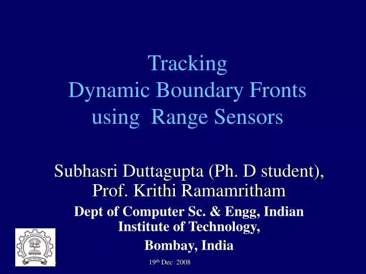
Subhasri Duttagupta (Ph. D student), Prof. Krithi Ramamritham Dept of Computer Sc. & Engg, Indian Institute of Technology, Bombay, India. Tracking Dynamic Boundary Fronts using Range Sensors. Early Warning System For Landslide Prediction using Sensor Networks.

E N D
Subhasri Duttagupta (Ph. D student), Prof. Krithi Ramamritham Dept of Computer Sc. & Engg, Indian Institute of Technology, Bombay, India Tracking Dynamic Boundary Fronts using Range Sensors
Early Warning System For Landslide Prediction using Sensor Networks Traffic Management on Highways
Tracking Boundary Fronts Compute confidence band with high accuracy. δ Width of the band Estimate band with minimum communication overheads When is the tornado going to hit the city? [Manfredi et al. 2005] k,loss of coverage Boundary Front Tracking n, δ n = number of observations
Combining Spatial and Temporal Estimation at a location Spatial Estimation How to estimate Temporal Estimation When to update no Observation Temporal Estimation change > threshold yes Spatial Estimation Multiple Observations Feedback improves the accuracy of Temporal Estimation Feedback from Spatial
Placement of Estimation Points regions with high variance • Goal: Minimize LOC of interpolated band • Start with a small set of equidistant points and perform spatial estimation at these points • Add more estimation points in the region of high variance(variance implies spatial variation) Prediction Error Function can represent LOC without the knowledge of actual boundary
Comparison of DBTR, SE, TE • DBTR performs better by 2-4 % • DBTR utilizes benefits of both the techniques • Difference in accuracy does not change with δ. • Spatial Estimation provides more accuracy for lower δ • Temporal Estimation has better accuracy for larger δ
Conclusions Tracking dynamic boundary fronts using range sensors DBTR tracks both spatial and temporal variations with low communication overheads Spatial estimation technique uses kernel smoothing to reduce the effect of noise Temporal estimation technique uses Kalman filter model-based approach updates estimate before the boundary moves out of confidence band
Location of Spatial Estimation (SE) and Temporal Estimation (TE) h neighborhood actual boundary SE(xp1, xp2 ) TE(xp2 ) SE(xp1 ) TE(xp1 ) Sensing nodes xp2 xp1 Cluster heads