Download
1 / 17
170 likes | 274 Views
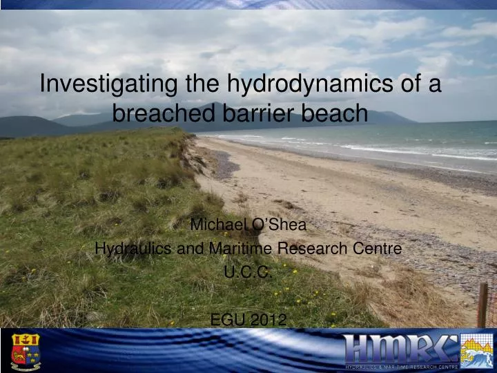
Rossbeigh Barrier Beach. Investigating the hydrodynamics of a breached barrier beach. Michael O’Shea Hydraulics and Maritime Research Centre U.C.C. EGU 2012. Study Area. Dingle Bay, Co Kerry, Ireland Bay enclosed by rocky headlands A 3.2m Spring Tidal Range

E N D
Rossbeigh Barrier Beach Investigating the hydrodynamics of a breached barrier beach Michael O’Shea Hydraulics and Maritime Research Centre U.C.C. EGU 2012
Study Area • Dingle Bay, Co Kerry, Ireland • Bay enclosed by rocky headlands • A 3.2m Spring Tidal Range • Waves direction in a narrow band: 250-270 deg • Self Contained Coastal Cell Cromane Inch Rossbeigh
Breaching of Rossbeigh Breach in winter 2008 Why study Rossbeigh? Scientific Value – Naturally dynamic coastal system Civic Concern – Flooding, Economic Value, Habitat
Similar Morphology Studies on Breaching Barriers Nauset Breach, MA, USA Giese Et al (2009) conducted a re- analysis of the morphological cycle after previous model failed to predict breaching in 2007 Established a 2 Phase conceptual model based on analysis of maps and images from 1800’s to present, regular GPS surveys and water level recording. Slapton Sands & Loe Bar, South West UK (NUPSIG Project) Shingle barrier beach monitoring Numerical Monitoring and extensive measurement system Pre and Post Storm surveys Focus on swash dynamics
Monitoring of Rossbeigh • Regular Topographic surveys using RTK GPS • GIS and Remote sensing : Aerial photography • Historical maps • Satellite imagery • Identified Centennial morphodynamic cycle • 5 million tonnes eroded • Breach widened to 800m • Growth of ebb tidal bars • Realignment of beach
Monitoring of Rossbeigh 2005 2007 2011
Numerical Modelling • Based on low resolution bathymetry and offshore wave data • Indication of circulation patterns & wave climate • Useful for planning field data campaign
Field Work - Objectives • Identify drivers of variations in erosion patterns along Rossbeigh • Acquire field data to validate a combined Wave, Tidal, Sediment transport and Morphodynamic model
Field Work - Wave and Tidal Current Data Collection • Vane guided propeller current meters • Seabed mounted pressure gauges
Results - Tidal Mid Flood Mid Ebb
Field Work - Wave • 5 onshore locations each for 5 days • 1 located 4km offshore continuous for 30 days
Results - Wave • High tide coincides with largest Hs • Convergence of high frequency energy in onshore as waves pass over intertidal bar
Results – Wave Directionality at High Tide Drift Aligned Swash Aligned Frequency (Hz) Energy Energy Frequency (Hz) Direction (degrees) Direction (degrees)
Results – Tidal Cycle of Rossbeigh Low Tide Mid Flood High Tide Mid Ebb • Funnelling of waves at drift shore as waves diffract around intertidal bar • Sediment in intertidal zone moved towards tidal inlet • Tidal current moves sediment offshore on drift aligned into tidal inlet creating a sediment sink • Waves become multidirectional on drift aligned as water level rises above bar • Drift zone grows as hinge point moves south • Tidal inlet transports sediment to offshore bars • Funnelled waves moves sediment towards end of Rossbeigh and tidal inlet
Conclusions Based on limited field data: • Erosion rates will continue to be high in the drift aligned zone. • The hinge point between zones will continue to move in the direction of the swash aligned zone, increasing the area susceptible to erosive processes described. • The risk of coastal flooding and inundation in the back barrier area is increasing
Conclusions • Present monitoring techniques alone are insufficient to provide definitive conclusions and predictions on future evolution of system • Need for novel monitoring techniques focussing on system as a whole rather than single point measurements In 2012-13 HMRC will be trialling : HF wave radar to measure circulation system in Inner Dingle bay Remote operated Helicopter Photogrammetry to map sand bar change Conduct regular shallow water bathymetry surveys