Download
1 / 23
230 likes | 306 Views
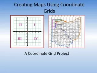
Creating Common Interest Community Maps. Jeffery J. Jensen, PE UNLV College of Civil Engineering. Outline. Future in GIS Goals Problems Solutions Outcome/Results Discuss various GIS tips along the way. Future in GIS. Continue Growth in Web Services ArcIMS and ArcMap

E N D
Creating Common Interest Community Maps Jeffery J. Jensen, PE UNLV College of Civil Engineering
Outline • Future in GIS • Goals • Problems • Solutions • Outcome/Results • Discuss various GIS tips along the way
Future in GIS • Continue Growth in Web Services • ArcIMS and ArcMap • MapGuide and AutoCAD (not there) • Web Map Services (WMS) • MapServer by UMN • ArcMap and AutoCAD Map connections • Google Map/Earth – KML • “To release is to choose” Hristo Deshev • Ongoing development cycle
Future – ArcIMS and ArcMap • www.esri.com/imssites • Must publish ArcIMS services through the web • Where 2.0 Video: Google/ESRI Keynote http://radar.oreilly.com/archives/2008/05/where-20-video-googleesri-keyn.html
Goals • Help identify all encumbrances on a parcel • Deeds, Plats and Title Reports • Covenants, Conditions and Restrictions (CC&Rs) • Bylaws of the Homeowners Associations • Identify boundaries of Common Interest Communities • Master Homeowners Association, Sub-associations
The Players • Ombudsman’s Office • Secretary of State • Business License • Neighborhood Services • Property Managers • Public Works • Recorders and Assessors • Enforcement • Realtors
Problems - Tabular • No Common Names or ID • Plat – Subdivision Map • SOS Entity Name • Developer’s marketing name of neighborhood • Business License, DBA • NV Real Estate Division (RED) • Realtors, MLS • Disconnected Databases • No common relate field between databases
Problems - Spatial • No Physical Address • Plat Map = HOA Boundary • Not Always • One HOA but Many Subdivision Units • Master Association and Sub
Solutions - Tabular • Create Index • GLVAR • MLS database • AssocName, Subdivision1, Subdivision2 fields • NVSOS.gov • Business Entity Search • SOS Entity# (Corporation#), URL, Resident Agents Address fields • Standarized ID – SOS Entity#
Solutions - Spatial • Sub-associations Polygon Layer • Create using Assessor Parcels and MLS, SOS and RED databases • Subdivision – dissolve based on ADTYPE and/or PCLSUBD • Master Associations • Create by dissolving Sub-association Polygon Layer • RED database has Excel spreadsheet relating Parent to Child • GLVAR • MLS database • Create point layer using Lat/Long • APN field, join with Assessor Parcels point layer • Address Matching with SCL
Solutions – Creation & Edits • Option 1: Tabular • use ArcMap geoprocessing tools (dissolve) to generate HOA boundaries • APNs change – need AOPARCHILD.TXT (pedigree of parcel creation) • ArcMap Bugs – “to release is to choose” • Option 2: Spatial • ArcMap edit session, copy/paste parcel features from Assessor layer • Recommend, being used by City of Henderson
Solutions – Spatial, Create Index • Clark County Recorder • CC&Rs • Bylaws?? • PDF index • Adobe Acrobat
Recorder – CC&Rs • Metadata • Custom Properties • Acrobat Professional (convert TIFF to PDF, OCR, Metadata) • EXIFTOOL • Verypdf • Windows PowerShell • Search • Windows Desktop Search • Google Desktop Search
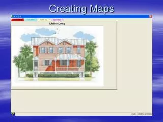
Publish HOA Maps • Google Map • Safe Software FME • Convert Shapefiles to kml • Zonums.com/shp2kml.html • Issues when building many polygons
Outcome/Results • Can Be Done • Create subassociation boundaries • Master HOAs • Dissolve Subassociations • hyperlink Recorder’s CC&R TIFF images • Need a Better Solution • Bylaws • Must contact each HOA, no central database • Getdocsnow.com
Questions Jeffery J. Jensen, PE UNLV College of Civil Engineering jefferyjjensen@gmail.com mobile: 702-327-9294