Download

1 / 102
1.07k likes | 1.3k Views
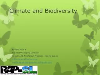
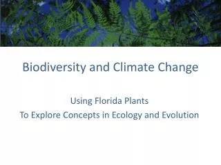
Climate and Biodiversity. Dust Storm from Africa’s Sahara Desert. What Factors Influence Climate?. An area’s climate is determined mostly by : Solar radiation Earth’s rotation Global patterns of air and water movement Gases in the atmosphere Earth’s surface features.

E N D
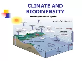
What Factors Influence Climate? An area’s climate is determined mostly by: • Solar radiation • Earth’s rotation • Global patterns of air and water movement • Gases in the atmosphere • Earth’s surface features.
Many Different Climates • Weather – local area of short-term physical conditions such as humidity, wind speed, cloud cover, etc. • Climate- an area’s general pattern of atmospheric conditions over longer periods of time – usually decades or thousands of years. • Temperature and precipitation determine climate • Latitude and elevation determine average temperature and precipitation
Earth’s Rotation • As the Earth rotates around its axis, its equator spins faster than the polar regions. • As a result, heated air masses rising above the equator cause the formation of cells distinguished by differing direction of air movement (prevailing winds)
Global Air Circulation • Caused by three factors • Uneven heating of earth’s surface • Rotation of the earth • Variations in properties of air, water, and land • Six cyclical convection cells
Cold deserts Westerlies Forests Northeast trades Hot deserts Forests Equator Southeast trades Hot deserts Forests Westerlies Cold deserts Fig. 5-3, p. 77
Moist air rises, cools, and releases moisture as rain Polar cap Arctic tundra Evergreen coniferous forest Temperate deciduous forest and grassland Desert Tropical deciduous forest Equator Tropical rain forest Tropical deciduous forest Desert Temperate deciduous forest and grassland Polar cap Fig. 5-5, p. 78
Global Ocean Currents (1) • Affects regional climates • Warm and cold currents created by differences in water density • Altered by earth’s rotation and continents • Redistributes heat, mixes ocean waters, and distributes nutrients and oxygen
Global Currents (2) • Loop of deep and shallow ocean currents • Moves energy around the globe • Ocean and atmosphere closely linked
Warm, less salty, shallow current Cold, salty, deep current Fig. 5-6, p. 79
Animation: Global Ocean and Winds Currents Examine global surface currents.
El Niño(El Niño Southern Oscillation or ENSO) • El Niño is characterized by unusually warm ocean temperatures in the Equatorial Pacific, as opposed to La Niña, which characterized by unusually cold ocean temperatures in the Equatorial Pacific. El Niño is an oscillation of the ocean-atmosphere system in the tropical Pacific having important consequences for weather around the globe.
El Niño • Among these consequences are increased rainfall across the southern tier of the US and in Peru, which has caused destructive flooding, and drought in the West Pacific, sometimes associated with devastating brush fires in Australia. Observations of conditions in the tropical Pacific are considered essential for the prediction of short term (a few months to 1 year) climate variations.
La Niña • Opposite of the boy, colder than normal ocean temps. • La Niña causes mostly the opposite effects of El Niño, for example, El Niño would cause a wet period in the Midwestern U.S., while La Niña would typically cause a dry period in this area.
Earth’s Surface Features and Climate • Heat absorbed and released more slowly by water than by land • Large bodies of water moderate climate • Movement of moist ocean air across a mountain • Rain and snow on windward side • Rain shadow on leeward side – e.g. Death Valley
On the leeward side of the mountain range, air descends, warms, and releases little moisture. On the windward side of a mountain range, air rises,cools, and releases moisture. Prevailing winds pick up moisture from an ocean. Fig. 5-7, p. 80
How Does Climate Affect the Nature and Location of Biomes? • Differences in average annual precipitation and temperature lead to the formation of tropical, temperate, and cold deserts, grasslands, and forests, and largely determine their locations.
Climate Affects Biomes • Major biomes related to climate • Biomes consist of a mosaic of patches of communities • Average temperature and precipitation determine the biome
Earth’s Major Biomes Fig. 5-8, p. 81
Elevation Mountain ice and snow Tundra (herbs, lichens, mosses) Coniferous Forest Latitude Deciduous Forest Tropical Forest Tropical Forest Tundra (herbs, lichens, mosses) Deciduous Forest Coniferous Forest Polar ice and snow Fig. 5-9, p. 81
Polar Tundra Subpolar Temperate Coniferous forest Desert Grassland Deciduous forest Tropical Chaparral Desert Savanna Rain forest Tropical seasonal forest Scrubland Fig. 5-10, p. 82
Three Major Types of Deserts • Tropical deserts – Sahara, Namib • Temperate deserts – Mojave • Cold deserts – Gobi
Three Major Types of Grasslands • Tropical grasslands – savanna • Temperate grasslands – prairie • Short-grass vs. tall-grass • Cold grasslands – tundra • Permafrost soils
Loss of a Temperate Grassland Fig. 5-13, p. 86
Three Major Types of Forests • Tropical rain forests • Temperate deciduous forests • Evergreen coniferous forests