Download
1 / 6
0 likes | 13 Views
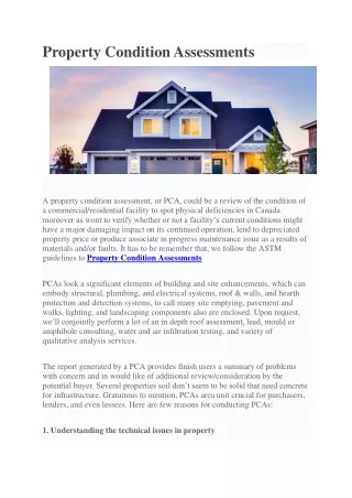
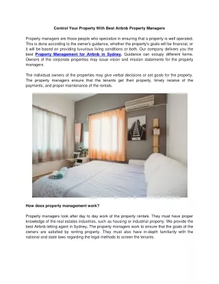
Discover how Map Drone Solutions revolutionizes property assessments with advanced drone property survey services. Offering enhanced accuracy, efficiency, comprehensive data, and access to hard-to-reach areas, our services outperform traditional methods. Ideal for real estate, agriculture, environmental monitoring, infrastructure inspection, and disaster management. Experience our expertise and commitment to safety and service.<br><br>Visit:https://mapdronesolutions.com/drone-property-survey/<br>

E N D
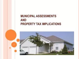
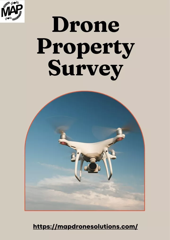
Drone Property Survey https://mapdronesolutions.com/
In recent years, technological advancements have made their way into the property survey industry, transforming traditional methods and introducing innovative solutions. One such groundbreaking technology is the use of drones for property surveys. Map Drone Solutions, a leader in this field, offers state-of- the-art drone property survey services that provide unparalleled accuracy, efficiency, and comprehensive data for property assessments. What is a Drone Property Survey? A drone property survey utilizes unmanned aerial vehicles (UAVs), commonly known as drones, to capture high-resolution images and data of a property from the air. These aerial surveys provide a bird's-eye view of the land, offering detailed and accurate measurements, 3D models, and geospatial technology surpasses methods, which often measurements and can be time-consuming and less precise. data. This traditional involve survey manual
Benefits Surveys Real Estate Development: For real estate developers, accurate property surveys are essential for planning and designing new projects. Drone surveys provide detailed site maps, elevation data, and 3D models, helping developers make informed decisions about land use, infrastructure placement, construction planning. of Drone Property and Agriculture Farmers and landowners can benefit from drone property surveys to monitor crop health, assess irrigation systems, and manage land resources effectively. Drones can identify areas of concern, such as soil erosion or pest infestations, enabling timely interventions and management practices. and Land Management: improved land
Why Choose Map Drone Solutions? Expertise and Experience Map Drone Solutions boasts a team of highly skilled and certified drone extensive experience property surveys. Cutting-Edge Technology The company utilizes the latest drone technology and advanced software for data processing and analysis. Customized Solutions Understanding that every property is unique, Map Drone Solutions offers solutions tailored requirements of its clients. Commitment to Safety Safety is a top priority for Map Drone Solutions. Exceptional Customer Service Map Drone Solutions is dedicated exceptional customer service. Their team is responsive, professional, and committed to delivering high-quality survey results on time and within budget. operators in with conducting customized to survey specific the to providing
Conclusion Map Drone Solutions stands at the forefront of this technological advancement, providing top-notch drone property survey services that meet the diverse needs of clients across various industries. By choosing Map Drone Solutions, clients can trust that their property surveys will be conducted with precision, professionalism, and excellence. a commitment to
Contact us for further inquiries 1625 Conley Rd, Conley, GA 30288 404-680-6792 https://mapdronesolutions.com/