Download
1 / 9
0 likes | 5 Views
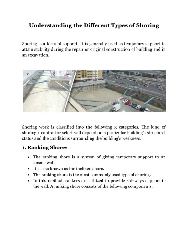
Accurate land surveys are essential for construction projects, real estate transactions, infrastructure development, and environmental assessments. Surveyors, engineers, and project managers rely on precise data to make informed decisions, avoiding costly mistakes, and ensuring compliance with regulations.

E N D
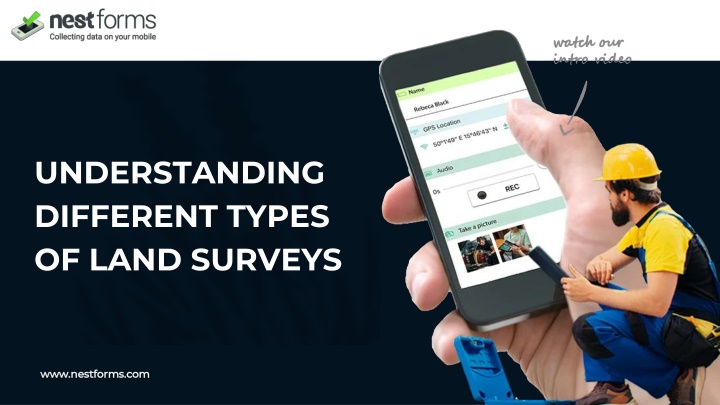
UNDERSTANDING DIFFERENT TYPES OF LAND SURVEYS www.nestforms.com
Boundary Survey OUR MISSION A Boundary Survey identifies the exact property lines and corners of a parcel of land. This type of survey is critical for property ownership disputes, new construction projects, and real estate transactions.
2.TOPOGRAPHIC SURVEY A Topographic Survey maps the natural and man-made features of a site, including elevation changes, trees, buildings, and roads.
3.CONSTRUCTION SURVEY 3A Construction Survey guides the placement of structures, roads, and utilities during the construction process.
4. SUBDIVISION SURVEY A Subdivision Survey divides a larger parcel of land into smaller lots for development or sale. This type of survey is commonly used for residential or commercial development projects.
MORTGAGE/TITLE SURVEY A Mortgage/Title Survey verifies property boundaries and improvements for real estate transactions. This survey helps lenders and buyers ensure there are no encroachments or boundary disputes. Route Survey A Route Survey is used to plan the location of roads, pipelines, power lines, and other linear infrastructure projects.
ENVIRONMENTAL SURVEY An Environmental Survey assesses land for environmental concerns, such as wetlands, wildlife habitats, or contamination. Floodplain Survey A Floodplain Survey determines elevation levels and assesses flood risks for insurance purposes or development planning.
Why Choose NestForms for Land Surveys? One of the best surveyor apps, NestForms provides a versatile GPS land survey app that adapts to various types of surveys. With features like customisable forms, mobile data collection, and real-time syncing, the NestForms field service management software simplifies the survey process and ensures accuracy. Ready to streamline your land survey or project completion form? Find out more about how our mobile form app can assist your operations and get started with just a few clicks. Your NestForms journey starts here with our mobile data collection app! Sign up today for the free two week trial. You can try out all of the features the platform has to offer during your 14 day free trial. Have a browse through the following example templates that allow for modification to suit your Land survey form requirements. You can also see examples of a, Project Completion Report, Work Completion Report and a Health and Safety Audit. Upgrade your workflow with optimised processes and boost productivity. Don’t let outdated strategies slow you down. Try the NestForms offline survey app today and see the difference!
THANK YOU! www.nestforms.com support@nestforms.com