Download
1 / 6
0 likes | 8 Views
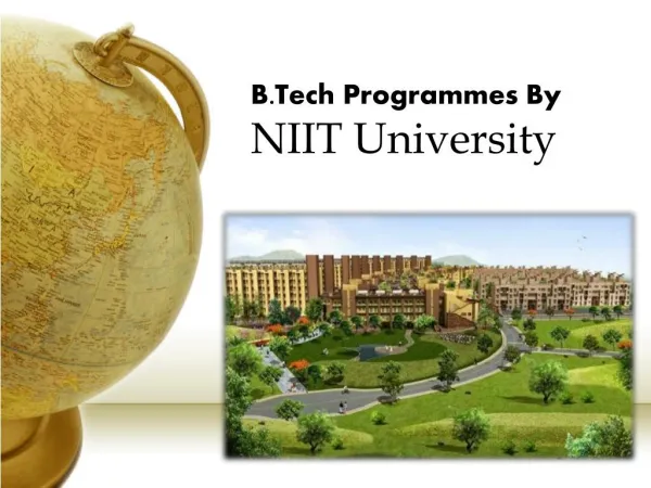
Deepen your expertise in Geographic Information Systems (GIS) with a PhD from NIIT University. Conduct cutting-edge research, collaborate with industry leaders, and contribute to the advancement of geospatial science.

E N D
What are some of the key research areas and potential career paths for individuals pursuing a PhD in Geographic Information Systems (GIS)? • A PhD in Geographic Information Systems (GIS) from NIIT University offers a unique blend of academic rigor and industry relevance, equipping you with the advanced knowledge and skills needed to excel in this dynamic field. • Research Areas and Career Paths: • Spatial Data Science: Developing and applying advanced statistical and machine learning techniques to analyze massive geospatial datasets. This includes topics like spatial statistics, deep learning for geospatial data, and spatiotemporal data mining. • Remote Sensing and Image Analysis: Utilizing satellite imagery, aerial photography, and other remote sensing data to extract information about the Earth's surface, such as land cover/land use change, environmental monitoring, and disaster response. • Geo visualization and Human-Computer Interaction: Designing and developing innovative ways to visualize and interact with geospatial data, such as interactive maps, virtual and augmented reality applications, and 3D visualizations. • Spatial Decision Support Systems: Creating and implementing GIS-based tools and models to support decision-making in various domains, including urban planning, environmental management, transportation, and public health.
Reach Out us at : • NIIT University,NH-8, Delhi-Jaipur Highway,Neemrana, District Alwar (Rajasthan),Pin-301705 • 1800 103 5050 • https://niituniversity.in/ • https://www.linkedin.com/school/niit-university/ • https://www.facebook.com/NIITUniv/