Download
1 / 20
200 likes | 220 Views
Explore the precipitation, stream flow, and snow depth across the Colorado Headwaters and Big Thompson Watersheds, divided by the Continental Divide. Learn about the Colorado River Basin and South Platte River Basin interconnection and the Colorado-Big Thompson Project. Utilize various data sources including Hydrologic Unit Maps and DEM Data for analysis and research.

E N D
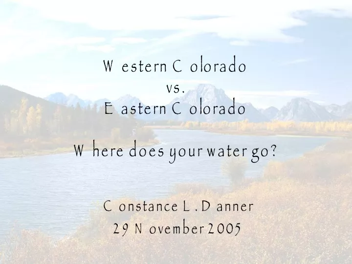
Western Colorado vs. Eastern ColoradoWhere does your water go? Constance L. Danner 29 November 2005
Outline • Objectives • Background • Data Sources • Map Creation • Analysis • Future Work • Questions
Objectives • Become familiar with Arc Hydro by plotting the Colorado Headwaters and Big Thompson Watersheds. • Evaluate the precipitation, stream flow and snow depth in regards to the Continental Divide.
The West vs. The East Colorado River Basin http://waterknowledge.colostate.edu/colo_map.htm South Platte River Basin http://co.water.usgs.gov/nawqa/splt
How are they connected? Map of Colorado-Big Thompson Project http://www.ncwcd.org/project_features/location_map.asp
Colorado-Big Thompson (C-BT) Project by the Numbers http://www.ncwcd.org/project_features/cbt_by_the_numbers.asp
Data Sources • Hydrologic Unit Maps (HUC) • http://water.usgs.gov/lookup/getspatial?huc250k • National Atlas of the United States • http://www.nationalatlas.gov/atlasftp.html • DEM Data from EPA Water Science Websites • http://www.epa.gov/waterscience/ftp/basins/gis_data/huc/10190006/ • http://www.epa.gov/waterscience/ftp/basins/gis_data/huc/14010001/ • National Resources Conservation Services for Colorado • http://www.co.nrcs.usda.gov/snow/ • NNDC Climate Data Online • http://cdo.ncdc.noaa.gov/pls/plclimprod/somdmain.subquery1
What Time Frame to Choose? Missouri Basin Drought Data http://www.drought.unl.edu/whatis/palmer/missouri.gif Upper Colorado Drought Data http://www.drought.unl.edu/whatis/palmer/upco.gif
Future Work • Final Paper and Analysis