Download
1 / 24
810 likes | 2.79k Views
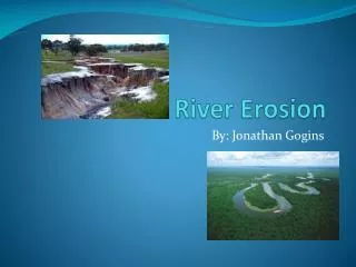
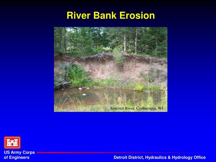
River Bank Erosion. Siskiwit River, Cornucopia, WI. How Do we Measure Bank Erosion?. The Big Questions…continued. Are there simple methods that can be used to estimate bank erosion rates in the field?. Answer…No. Lateral Movement of bank. Measured in feet/year. Resisting Force

E N D
River Bank Erosion Siskiwit River, Cornucopia, WI
The Big Questions…continued • Are there simple methods that can be used to estimate bank erosion rates in the field? Answer…No
Lateral Movement of bank. Measured in feet/year Resisting Force Intrinsic property of bank. Function of: Soil Vegetation Bank Angle Etc. Driving Force Property of the hydraulics. Function of: Near Bank Shear Stress Bank Erosion
Bank Erodability How do we determine how susceptible a bank is to erosion?
Predicting Bank Erosion Bank Erosion Hazard Index (BEHI)
BEHI Variables • Bank Height Ratio • Root Depth Ratio • Weighted Root Density • Bank Angle • Surface Protection • Bank Material • Stratification
Black River, Michigan (UP) Low Erosion Potential
Moderate Erosion Potential Coldwater Creek, Union City, Michigan
Very High / Extreme Erosion Potential Ontonagon River, Michigan (UP)
Bank Erosion Near Bank Stress (NBS) Index Bank Erosion Hazard Index (BEHI)
NBS#1 - Channel Patterns • Transverse and/or central bars – short and/or discontinous • NBS = High or Very High • Extensive deposition • NBS = Extreme • Chute cutoffs, down-valley meander migration, converging flow • NBS = Extreme
NBS#2 – Ratio of Radius of Curvature (Rc) to Bankfull Width (Wbkf) Generally Rc Performed Using Aerial Photography
NBS#3 & #4 – Ratio of Pool Slope to Average Slope (Sp/S) or Riffle Slope (Sp/Srif)
Bank Erosion Bank Pins & Bank Profiles Bank Erosion Hazard Index (BEHI) Near Bank Stress (NBS) Index
Bank Profile Measurement Equipment • Toe Pin (rebar) • Toe Pin Cap • Hammer • Survey Rod (2) or • Survey Rod & Pocket Rod • Line Level • Rod Level • Field Forms
Measuring Bank Profile Source: Arkansas Department of Environmental Quality
Is there a better correlation for predicting bank erosion? • Remotely-sensed data • Radius of curvature • Meander wavelength • Beltwidth:valley width • Valley slope • Soils maps for resistance and infiltration
Questions? Contact: Dr. Jim Selegean, P.E., P.H. U.S. Army Corps of Engineers, Detroit District Great Lakes Hydraulics and Hydrology Office 477 Michigan Ave Detroit, MI 48226 313.226.6791 james.p.selegean@usace.army.mil