Download
1 / 18
180 likes | 195 Views
This study presents the MODIS daytime cloud overlap technique, aiming to detect multilayered clouds with high accuracy. The method involves identifying clear pixels, ice, and water pixels through spectral cloud phase techniques. The approach is applied to MODIS data arrays, classifying pixels as belonging to single or multilayered clouds. The study discusses the process of identifying cloud layers using band 31 data and the prospects of adapting the method for operational use. By differentiating single-layered from multilayered clouds, the study aims to enhance cloud phase inference and operational cloud monitoring. Future field experiments are planned to further validate the approach.

E N D
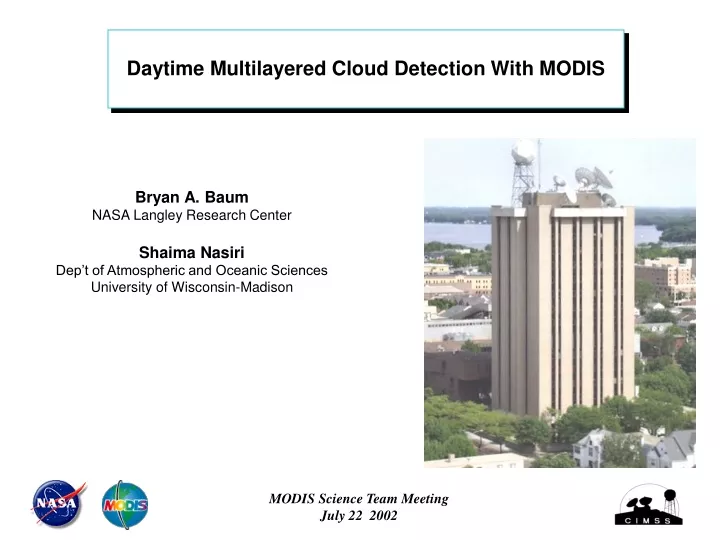
Daytime Multilayered Cloud Detection With MODIS Bryan A. Baum NASA Langley Research Center Shaima Nasiri Dep’t of Atmospheric and Oceanic Sciences University of Wisconsin-Madison MODIS Science Team Meeting July 22 2002
MODIS Frequency of Co-occurrence Water Phase with 253 K < Tcld < 268 K 05 Nov. 2000 - Daytime Only frequency of occurrence in percent (%)
MODIS Frequency of Co-occurrence Water Phase with 253 < Tcld < 268 K 05 Nov. 2000 - Nighttime Only frequency of occurrence in percent (%)
MODIS Daytime Cloud Overlap Technique • Assumption: At most 2 cloud layers in data array • For a 200x200 pixel (1km resolution) array of MODIS data: • Identify clear pixels from MODIS cloud mask • Identify unambiguous ice pixels and water pixels from 8.5- and 11-mm bispectral cloud phase technique • Classify unambiguous ice/water pixels as belonging to the higher/lower cloud layer • Classify remaining pixels as overlapped
0.8 0.6 0.4 0.2 0 200 by 200 pixels of MODIS Data from 15 Oct. 2000 at 1725Z Water Cloud (from MODIS Phase) Ice Cloud (from MODIS Phase) Clear (from MODIS Cloud Mask) 1.6 mm Reflectance Other (to be determined) 210 230 250 270 290 11 mm BT (K)
MODIS Band 31 (11 µm) on 3 June 2001 Brightness Temperature (K)
Number of times a pixel is classified as having multilayered clouds
Number of times a pixel is classified as having multilayered clouds
Number of times a pixel is classified as having multilayered clouds
Number of times a pixel is classified as having multilayered clouds
Where are we taking this? Currently, software to process MODIS granule is based on the Matlab COTS product Requires cloud clearing and cloud phase products Will apply this approach to daytime MODIS direct broadcast data for both Terra & Aqua (will have to see how 2.1-mm band does as surrogate for 1.6 mm) Once method becomes more settled, it will be adapted for operational environment
And in summary... To improve inference of cloud phase, we are attempting to separate single-layered from multilayered clouds. The Direct Broadcast data will be used to test the new approach on a daily basis. When the method becomes more mature, it will be modified for operational use. Future field experiments will provide (hopefully ) cloud phase independently from depolarization lidar measurements from above cloud top for cloud phase and multilayered cloud comparisons.