Download
1 / 22
220 likes | 235 Views
Dive into the world of cartography with a detailed review of essential concepts relating to shaded relief maps, proportional symbol maps, choropleth maps, projections, and more. Learn about type placement rules, achieving harmony in map elements, and explore different map types such as topographic maps. Discover the significance of data-based maps like proportional symbols and dot maps, and gain insights into dasymetric maps for better visualization of diffusive processes. Lastly, delve into the fascinating world of map projections and get hands-on experience with ArcMap’s projection capabilities.

E N D
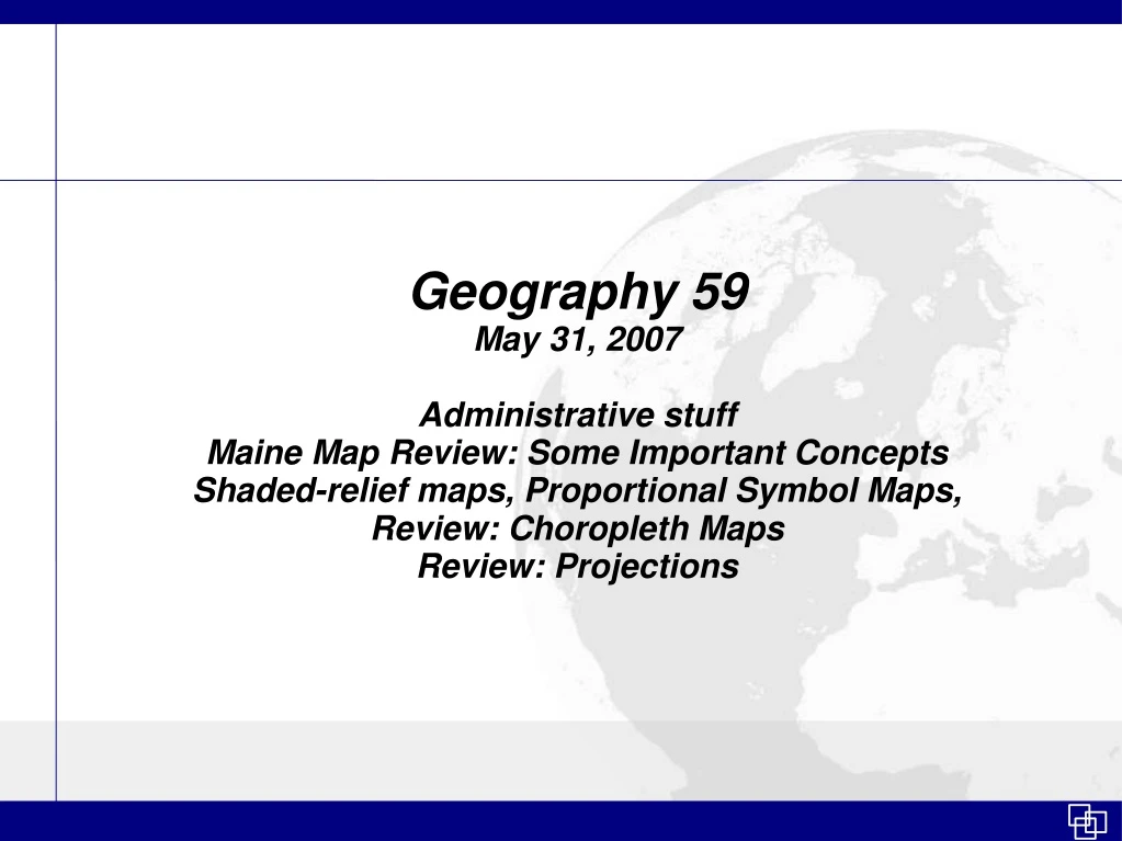
Geography 59 May 31, 2007 Administrative stuff Maine Map Review: Some Important Concepts Shaded-relief maps, Proportional Symbol Maps, Review: Choropleth Maps Review: Projections
Remaining classes – Geog 59 • May 31st : More maps, Review trouble areas + Maine map critique. Review Projections and Lab 5 (Projections) • June 7th : Review terminology and objectives of the course + Map critique exercise (in-class)
Remaining classes – cont'd • June 14th : Read topographic maps, and review important rules that must be followed in your final project. Extra Credit #2 DUE (10 points) • June 21st : Current topics in Cartography + Any early final project presentations. • June 28th : Final Projects
Maine Map • The maps looked good • Key issues: • Rules of type placement • Type convention • Element placement • Element balance
Maine – The rules of type placement • K & W, page 235 only hints at rules • Monmonier hardly touches on it • What are the RULES!??!?! • They were mentioned in class and are in the slides from May 10th
Type placement: Line Features • Some ambiguity • Generally, use repetition • Sometimes spreading out the text slightly will cover needs of the map • Abbreviation is ok for rivers
Labels on line features • Avoid upside-down type • Avoid stretching out too much • Place text from bottom-to-top, but first try to place horizontally to ease reading These are good practices
Map Elements • Achieve “harmony” in your map by: • Looking for big empty white space(s) – how can you move elements around to fill that space? • Being bold about moving around elements to places you might not think are best • Align objects whenever possible. Create guides to align elements or use alignment tools.
More Maps! Moving on....
More Maps – Topography • Shaded Relief Maps • Presumes an oblique light source • Digital Elevation Models (DEM's) are the main component needed to produce these maps • ArcMap has good shaded-relief map production capability
More Maps - Topography • Contour maps • Can be used to generate surfaces in ArcMap (interpolation) • Methods must be understood
Review: Choropleth Maps • Good maps for showing changes, percentages, demographics • Main task is data classification • Color scheme is important too
Data-based maps: Proportional Symbols • Data may be standardized, or may not be standardized • ArcMap can produce on-the-fly • Overlap may occur, though no rules exist to manage it
Dasymetric Maps • Dasymetric maps are based on standardized data and use area as the mapping unit • Takes changing densities into consideration – better visualization of diffusive processes
Dot Maps • Use to show point events in space – point feature representation • Use raw data to produce dot maps • GIS products do not commonly produce dot mapsinto consideration
And last but not least... Projections!
Review: Projections See the guide on the website – it is based on a lot of detail, but ultimately practitioners use 1-3 projections over and over. Today's lab exercise is meant to illustrate ArcMap's projection capabilities.
Decimal Degrees • The basic unit of latitude and longitude is the degree (°) • One degree covers a large area. They are most common on GPS units and topographic maps.
Decimal degrees are... • Used in many electronic mapping applications. • Often used (not always) to define a single point in space • Sometimes in need conversion to Degrees, Minutes, Seconds • AND – (important for lab #5) • 1 degree is about 69 miles
Latitude, Longitude + Minutes + Seconds • Each degree is subdivided into 60 minutes('). Each minute is divided into 60 seconds('') • Express as: • lat or long • minutes • seconds Quadrangle divisions - Wisconsin