Download
1 / 22
220 likes | 342 Views
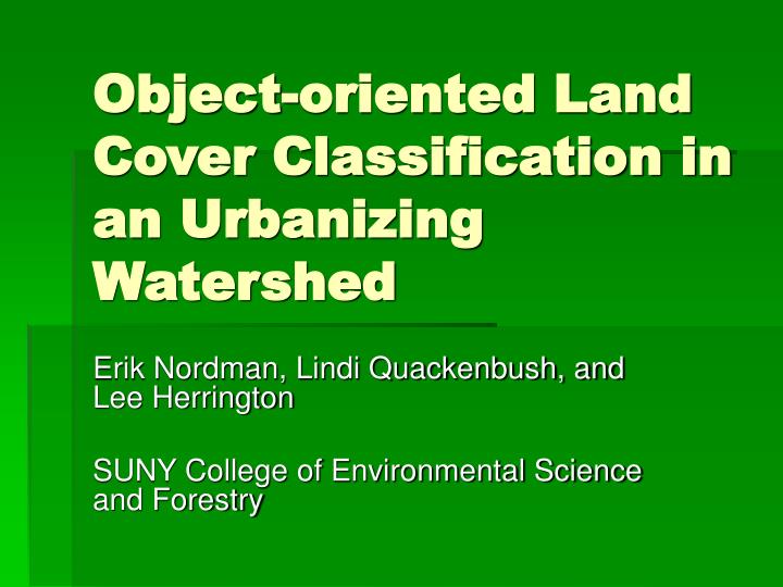
Object-oriented Land Cover Classification in an Urbanizing Watershed. Erik Nordman, Lindi Quackenbush, and Lee Herrington SUNY College of Environmental Science and Forestry. Objectives. Create a land cover classification Suitable for ArcHydro pollution model Up-to-date

E N D
Object-oriented Land Cover Classification in an Urbanizing Watershed Erik Nordman, Lindi Quackenbush, and Lee Herrington SUNY College of Environmental Science and Forestry
Objectives • Create a land cover classification • Suitable for ArcHydro pollution model • Up-to-date • High spatial resolution • Emphasis on impervious surface Introduction Objectives Study Area Methods Results Discussion Conclusions
Study Area Introduction Objective Study Area Methods Results Discussion Conclusions
Methods: Imagery • Satellite: QuickBird (DigitalGlobe) • 2.44 m multispectral resolution • 4 bands (3 visible + NIR) • Created NDVI layer • Collected over 2 dates • Half on each date • May and June 2005 Introduction Methods Imagery Software Classification Results Discussion Conclusions
Detail of Imagery Upper Lake Introduction Methods Imagery Software Classification Results Discussion Conclusions Carmans River
eCognition: Object-oriented classification • Uses spectral, textural and thematic information • Segmentation into homogeneous polygons (objects) • Can vary the size (homogeneity) of polygons at different “levels” Introduction Methods Imagery Software Classification Results Discussion Conclusions
Impervious Cover • Critical to analyzing runoff and pollution • Challenges • High spatial resolution • Individual roads, houses • Tree canopy covers roads Introduction Methods Imagery Software Classification Results Discussion Conclusions
Impervious Cover • Solution • Use road vector layer • ALIS data set • For public safety • NYS GIS Clearinghouse • 10 meter buffer Introduction Methods Imagery Software Classification Results Discussion Conclusions
Level 2 Segmentation Introduction Methods Imagery Software Classification Results Discussion Conclusions
Level 1 Segmentation Introduction Methods Imagery Software Classification Results Discussion Conclusions
Detail: ALIS roads in Level 2 segmentation Introduction Methods Imagery Software Classification Results Discussion Conclusions
Classification • Classes based on TR-55 • Impervious • Includes roads, driveways, roofs • Tree, Grass • Wetlands • 3 classes: woody, emergent, tidal • Also from thematic layers • Bare, Water Introduction Methods Imagery Software Classification Results Discussion Conclusions
Classification • Attributes used in classification included: • Color and Brightness • Area • Shape Index and Compactness • GLMC heterogeneity • Proximity to objects in other classes Introduction Methods Imagery Software Classification Results Discussion Conclusions
Introduction Methods Results Discussion Conclusions
Introduction Methods Results Discussion Conclusions
Accuracy Assessment • Reference data • Digital orthophotos • Acquired April, 2004 • “Leaf-off” • Stratified random sample, 727 points Introduction Methods Results Discussion Conclusions
Accuracy Assessment • Overall: 73.9% • User’s accuracy of key classes • Impervious: 73.4% • Tree : 74.5% • Grass: 66.7% Introduction Methods Results Discussion Conclusions
Discussion • Accuracy comparable to other studies • ALIS road layer successfully used to aid classification Introduction Methods Results Discussion Conclusions
Discussion • Seasonality • Imagery “leaf-on” • Orthophotos “leaf-off” • Affected agreement between classification and reference data • Scrub vegetation • Confusion among bare, grass and tree classes Introduction Methods Results Discussion Conclusions
Discussion • Accuracy Assessment • Response unit: 1 pixel in classified image • Response unit should be object, not pixel Introduction Methods Results Discussion Conclusions
Conclusions • QuickBird and eCognition produced a highly detailed classification • Adequate for pollution and economic models • Thematic layers proved useful Introduction Methods Results Discussion Conclusions
Acknowledgements • IAGT • Provided satellite imagery • NYS Department of State Division of Coastal Resources • Provided financial support