Download
1 / 21
210 likes | 325 Views
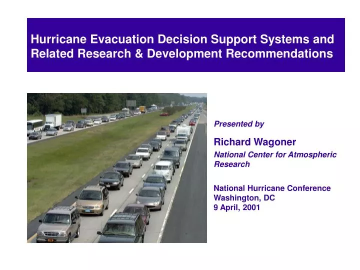
Hurricane Evacuation Decision Support Systems and Related Research & Development Recommendations. Hurricane Evacuation Decision Support Systems and Related Research & Development Recommendations. Presented by Richard Wagoner National Center for Atmospheric Research

E N D
Hurricane Evacuation Decision Support Systems and Related Research & Development Recommendations Hurricane Evacuation Decision Support Systems and Related Research & Development Recommendations Presented by Richard Wagoner National Center for Atmospheric Research National Hurricane Conference Washington, DC 9 April, 2001
Winter Road Maintenance Decision Support System (MDSS) Prototype Development Presented by Bill Mahoney National Center for Atmospheric Research
MDSS Objective To utilize state-of-the-art atmospheric science and engineering approaches to address and improve the performance of the road maintenance practitioner.
MDSS Goals • Capitalize on existing road weather data sources. • Augment data sources where they are weak. • Fuse data to make an integrated and • understandable presentation • of road conditions. • Provide diagnostic and prognostic information.
MDSS Goals (continued) • Provide display capability for the condition • of the roadway. • Develop a decision support tool that provides • recommendations on road maintenance • courses of action together with anticipated • consequences of action or inaction. • Provide all the above on a single platform.
MDSS Prototype Components Display Weather Data Advanced Weather Capabilities DOT Operations Data Road Condition Module Decision Support Logic External System Interface
MDSS Prototype Focus Areas • Weather Component Focus : • Event start and stop times • Surface temperature • Precipitation type • Precipitation rate • Precipitation accumulation • Conditional probabilities • Surface wind speed • Surface wind direction • Surface visibility
MDSS Prototype Focus Areas • Road Component Focus: • Pavement temperature and trends • Pavement chemical concentration • Pavement friction coefficient • Pavement contamination • (liquid, snow, ice, etc.) • Snow drifting
MDSS Prototype Focus Areas • Decision Support System Component Focus: • Monitor weather & road conditions • Monitor probability & intensity of weather threat • Crew scheduling • Manage crew shifts • Dispatch crews to treat roadway • Coordinate emergency management • Manage incidents • Monitor crew working time • Post event clean up
Proposed Engineering Approach for MDSS Point & Time Specific Output “NOAA” Weather Data Weather Parameter Output DICAST Forecast Module A Forecast Integrator Data Ingest Forecast Module B Forecast Module C Post Processor Forecast Module D . . . Forecast Product DOT Wx Data Forecast Module N DOT Operations Data Decision Support System Module Road Condition Module GIS Display
Conceptual System Diagram for MDSS Point & Time Specific Output Weather Data DICAST Forecast Module A Forecast Integrator Data Ingest Forecast Module B Forecast Module C Post Processor Forecast Module D . . . Forecast Product Forecast Module N GIS Display Chemical Concentration
Environmental Prediction Sites Environmental prediction parameters will be generated along the road. These data will be used by the road condition algorithms.
Environmental Data Grids Road condition algorithms convert environmental data at road points Road condition information provided at user configurable locations along the road. Translation of Environmental Data to Road Condition Information
Special Features of the MDSS • Takes advantage of standard & road weather sensor data via intelligent data integration. • Utilizes an automated, high resolution forecast system with advanced data fusion techniques. • Provides probability (confidence) information for environmental parameters.
Special Features of the MDSS • Has the capability of utilizing several road condition algorithms to provide a “best” solution. • Merges environmental & operational data within the DSS. • Provides decision guidance in decision space and provides recommended courses of action and allows users to evaluate other courses of action.
MDSS Core Technology MDSS Technology Applications Warning Preparation Winter Maintenance Paving Operations Emergency Management Pavement Marking Traffic Management Public Notification Hurricane Evacuation Sweeping Operations Weed Spraying Controlled Burns
Proposed Architecture of Hurricane Evacuation DSS Hurricane Evacuation Subsystem • Focused on 24 – 48 hr period prior to gale force winds on the coast • Updated every six hours in phase with NHC advisories • Uses weather, incident, maintenance and traffic modeling data to show decision makers estimated evacuation rates andproblem areas • Between update times, “what if” scenarios can be run to estimate impact of track and intensity changes
Proposed Architecture of Hurricane Evacuation DSS Tactical Support for Emergency Response Subsystem • Focused on weather and road conditions as gale force winds, heavy rain, lightning and tornadoes move inland • Continuous monitor mode with updates every 5 – 15 minutes • Maximum wind, accumulated rainfall, rainfall rate, and lightning rate displayed for key locations designated by emergency managers
Proposed Architecture of Hurricane Evacuation DSS Tactical Support for Emergency Response Subsystem • System will be used for timing post-storm responses to ensure safety of crews • Storm location and past track displayed • Future storm locations with estimatedwind and rainfall forecasts displayed for every 3 hrs out to 12 hours • Road condition information constantly updated
Recommended Research & Development Areas • Application of new data fusion techniques to TPC operations to improve 1 – 5 day track and intensity forecasts • Optimal methods for utilizing weather informationin traffic models • Validation of DSS’s in operational settings
The End wagoner@ucar.edu 303-497-8404