Download
1 / 9
90 likes | 108 Views
Learn about latitude and longitude, key imaginary lines on Earth's surface, and how to read maps for understanding Utah's history. Explore how these lines help locate places worldwide and practice finding locations using coordinates.

E N D
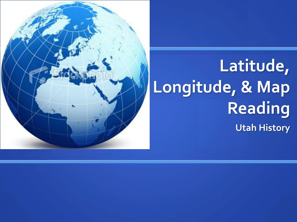
Latitude, Longitude, & Map Reading Utah History
Latitude • Latitude: imaginary lines on the earth’s surface that help us measure the distance north & south of the earth’s equator. HORIZONTAL LINES. • Tip to remember: think of latitude as the rungs on a ladder. (Ladder sounds like Latitude)
The Equator • The Equator is the imaginary line around the widest part of the globe. (The middle of the earth) • It is 0° Latitude.
Tropic of Cancer & Tropic of Capricorn: • Tropic of Cancer: Line of latitude 23.5 degrees North of the Equator. Half way point between North Pole & Equator • Tropic of Capricorn: Line of latitude 23.5 South of the Equator. Half way point between Equator and Antarctic Circle
Longitude • Longitude: imaginary lines on the earth’s surface that run from pole to pole that help us measure the distance east & west of the Prime Meridian. VERTICAL LINES. • Tip to remember: think of longitude as long, tall telephone poles (because longitude lines run from pole to pole)
Prime Meridian • The Prime Meridian is the imaginary line that is used to measure the longitude east & west. • It is 0° Longitude. • Runs through Greenwich, England
Compass Rose • A figure on maps, charts, etc… to display the orientation of the cardinal directions: North, East, South, West • Tip to remember order of the compass rose: NEVER, EAT, SOGGY, WAFFLES!
Review! • Latitude: LADDER. North & South degrees. Left to Right • Longitude: TELEPHONE POLES. East & West degrees. Up & Down. • Using both, we can find any location on earth! Every country, state, and city has a latitude & longitude address! Even in Utah! Let’s Practice!