Download
1 / 7
70 likes | 183 Views
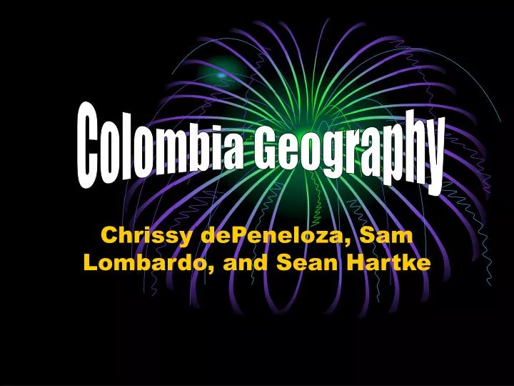
Colombia Geography. Chrissy dePeneloza, Sam Lombardo, and Sean Hartke. Map & Flag. This is a picture of their flag (bottom) This is a picture of a Colombian map. (right). http://www.cgdev.org/userfiles/Colombian%20flag.png.

E N D
Colombia Geography Chrissy dePeneloza, Sam Lombardo, and Sean Hartke
Map & Flag This is a picture of their flag (bottom) This is a picture of a Colombian map. (right) http://www.cgdev.org/userfiles/Colombian%20flag.png http://www.appliedlanguage.com/maps_of_the_world/map_of_colombia.gif
Continent and Hemispheres • Continent: South America. • Hemispheres: Both Northern, Southern, and Western hemispheres. http://www.mrdowling.com/712map.gif
Capital • Capital: Bogotá • Relative Location: North of Peru, South of the Caribbean Sea, West of Venezuela, East of the North Pacific Ocean. • Population Ranking: 28 (July, 2009) http://blog.lib.umn.edu/marqu154/architecture/bogotapanoram1.jpg
Location and Time • Absolute Location of Bogotá: 4°N 74° W • St. Louis, MO: 12:00 PM • Bogotá, Colombia: 1:00 PM
Places of Interest • El Museo de Oro (the Gold Museum):The story of Colombia’s history through gold artifacts of the country's indigenous people. http://www.etravelphotos.com/photos/2003la/2003la-080-21s-w.jpg http://pagesperso-orange.fr/amnesty-alpes/campagne/colombie/images/candelaria1.jpg La Candelaria: The city’s colorful “old town” includes cobblestone streets, steep hills, restored homes, small shops, colonial churches, hotels, restaurants, universities, and a number of attractions including the Plaza de Bolivar, the Bogotá Cathedral, the government buildings, and presidential home.
Citations • "Political Map of Central America and the Caribbean." One World-Nations Online. 01 Jan 2010. Web. 2 Feb 2010. <http://www.nationsonline.org/oneworld/map/central_america_map2.htm>. • "Country Comparison: Population." CIA World Factbook. 01 Jul 2009. Web. 2 Feb 2010. <https://www.cia.gov/library/publications/the-world-factbook/rankorder/2119rank.html>. • "Colombia Latitude and Longitude." Maps of the World. Web. 2 Feb 2010. <http://www.mapsofworld.com/lat_long/colombia-lat-long.html>. • "Time Zone Converter." The World Clock. Web. 2 Feb 2010. <http://www.timeanddate.com/worldclock/converted.html?month=2&day=1&year=2010&hour=12&min=0&sec=0&p1=605&p2=41>. • "Places of Interest and Things to do in and around Bogotá, Colombia." Friends of FANA. Web. 2 Feb 2010. <http://www.friendsoffanaminnesota.org/placesinbogota.htm>.